313 Kitty Hawk Cir Brandon, MS 39047
Estimated Value: $455,000 - $562,000
4
Beds
4
Baths
3,171
Sq Ft
$155/Sq Ft
Est. Value
About This Home
This home is located at 313 Kitty Hawk Cir, Brandon, MS 39047 and is currently estimated at $492,557, approximately $155 per square foot. 313 Kitty Hawk Cir is a home with nearby schools including Oakdale Elementary School, Northwest Rankin Middle School, and Northwest Rankin High School.
Ownership History
Date
Name
Owned For
Owner Type
Purchase Details
Closed on
Aug 14, 2015
Sold by
Lewis Bradford
Bought by
Bradford Lewis and Bradford Alyssa
Current Estimated Value
Home Financials for this Owner
Home Financials are based on the most recent Mortgage that was taken out on this home.
Original Mortgage
$267,477
Interest Rate
4.16%
Mortgage Type
Construction
Purchase Details
Closed on
Jul 8, 2014
Sold by
David David
Bought by
Bradford Lewis
Purchase Details
Closed on
Mar 2, 2007
Sold by
Upward Development Inc
Bought by
Carr David
Create a Home Valuation Report for This Property
The Home Valuation Report is an in-depth analysis detailing your home's value as well as a comparison with similar homes in the area
Purchase History
| Date | Buyer | Sale Price | Title Company |
|---|---|---|---|
| Bradford Lewis | -- | None Available | |
| Bradford Lewis | -- | -- | |
| Carr David | -- | -- |
Source: Public Records
Mortgage History
| Date | Status | Borrower | Loan Amount |
|---|---|---|---|
| Closed | Bradford Lewis | $267,477 |
Source: Public Records
Tax History
| Year | Tax Paid | Tax Assessment Tax Assessment Total Assessment is a certain percentage of the fair market value that is determined by local assessors to be the total taxable value of land and additions on the property. | Land | Improvement |
|---|---|---|---|---|
| 2025 | $3,059 | $29,580 | $0 | $0 |
| 2024 | $3,054 | $31,143 | $0 | $0 |
| 2023 | $2,685 | $27,712 | $0 | $0 |
| 2022 | $2,643 | $27,712 | $0 | $0 |
| 2021 | $2,643 | $27,712 | $0 | $0 |
| 2020 | $2,643 | $27,712 | $0 | $0 |
| 2019 | $2,369 | $24,489 | $0 | $0 |
| 2018 | $2,320 | $24,489 | $0 | $0 |
| 2017 | $2,320 | $24,489 | $0 | $0 |
| 2016 | $139 | $1,500 | $0 | $0 |
| 2015 | $139 | $1,500 | $0 | $0 |
| 2014 | $136 | $1,500 | $0 | $0 |
| 2013 | $136 | $1,500 | $0 | $0 |
Source: Public Records
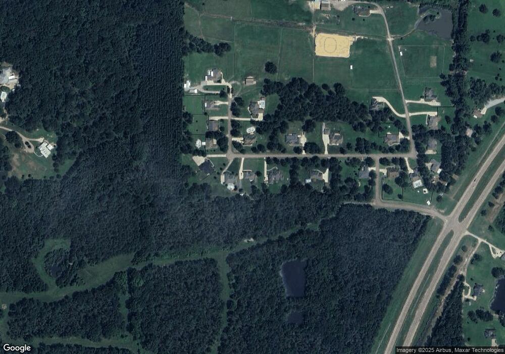
Map
Nearby Homes
- 102 Horseshoe Cir
- 234 Lost Oak Ln
- 0 Stull Rd Unit 24042681
- 290 Mount Helm Rd
- Lot 11 Mount Helm Rd
- Lot 10 Mount Helm Rd
- 5 Mount Helm Rd
- Lot 9 Mount Helm Rd
- Lot 6 Mount Helm Rd
- Lot 7 Mount Helm Rd
- Lot 8 Mount Helm Rd
- 0 Mount Helm Rd Unit 4124967
- 687 Bearing Way
- 547 Clark Stables Rd
- 551 Clark Stables Rd
- 468 Wimbledon Dr
- 2713 Highway 471
- 117 Hollybush Place
- 664 Stull Rd Unit 10
- 108 Holly Bush Rd
- 311 Kitty Hawk Cir
- 315 Kitty Hawk Cir
- 0 Kitty Hawk Cir Unit 210145
- 0 Kitty Hawk Cir Unit 19 210152
- 0 Kitty Hawk Cir Unit 219476
- 0 Kitty Hawk Cir Unit 18 225030
- 0 Kitty Hawk Cir Unit 2 237722
- 0 Kitty Hawk Cir Unit 246608
- 0 Kitty Hawk Cir Unit 18 253837
- 0 Kitty Hawk Cir Unit 19 1210152
- 0 Kitty Hawk Cir Unit 18 1225030
- 0 Kitty Hawk Cir Unit 18 1253837
- 0 Kitty Hawk Cir Unit Lot 24 1153843
- 0 Kitty Hawk Cir Unit Lot 25 1153845
- 0 Kitty Hawk Cir Unit 2 1237722
- 0 Kitty Hawk Cir Unit 1210145
- 0 Kitty Hawk Cir Unit 1219476
- 0 Kitty Hawk Cir Unit 1246608
- 312 Kitty Hawk Cir
- 317 Kitty Hawk Cir
Your Personal Tour Guide
Ask me questions while you tour the home.