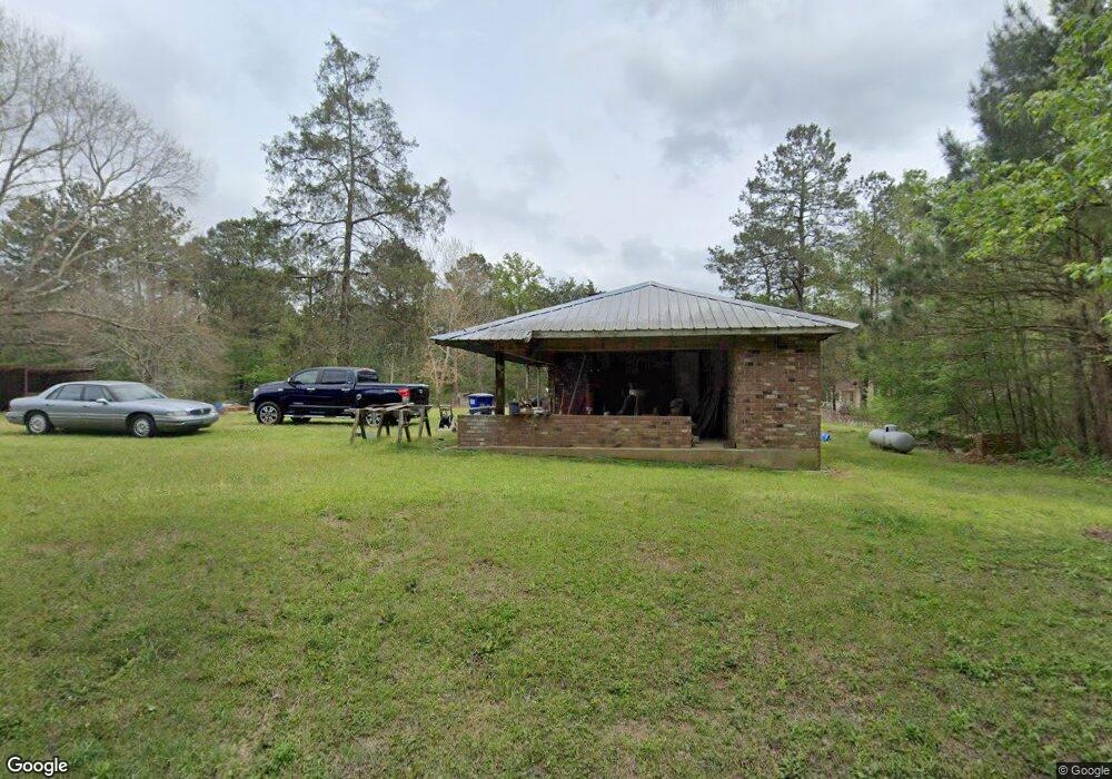
313 Low Water Ln SW Brookhaven, MS 39601
Estimated Value: $73,995 - $123,000
2
Beds
1
Bath
984
Sq Ft
$104/Sq Ft
Est. Value
About This Home
This home is located at 313 Low Water Ln SW, Brookhaven, MS 39601 and is currently estimated at $102,249, approximately $103 per square foot. 313 Low Water Ln SW is a home with nearby schools including West Lincoln High School.
Ownership History
Date
Name
Owned For
Owner Type
Purchase Details
Closed on
Feb 15, 2023
Sold by
Ross Jason C
Bought by
Angelette Brook
Current Estimated Value
Home Financials for this Owner
Home Financials are based on the most recent Mortgage that was taken out on this home.
Original Mortgage
$32,000
Outstanding Balance
$28,188
Interest Rate
5.51%
Mortgage Type
New Conventional
Estimated Equity
$74,061
Purchase Details
Closed on
Jun 29, 2021
Sold by
Brown Angelette and Hooks Moncherik
Bought by
Seals Sonia
Purchase Details
Closed on
Nov 15, 2019
Sold by
Mccalla Raymer Liebert Pierce Llc
Bought by
Ditech Financial Llc
Purchase Details
Closed on
Oct 13, 2008
Sold by
Walter Mortgage Company
Bought by
Reese Charlie
Create a Home Valuation Report for This Property
The Home Valuation Report is an in-depth analysis detailing your home's value as well as a comparison with similar homes in the area
Home Values in the Area
Average Home Value in this Area
Purchase History
| Date | Buyer | Sale Price | Title Company |
|---|---|---|---|
| Angelette Brook | -- | None Listed On Document | |
| Seals Sonia | -- | None Available | |
| Ditech Financial Llc | $38,800 | None Available | |
| Reese Charlie | -- | -- |
Source: Public Records
Mortgage History
| Date | Status | Borrower | Loan Amount |
|---|---|---|---|
| Open | Angelette Brook | $32,000 |
Source: Public Records
Tax History Compared to Growth
Tax History
| Year | Tax Paid | Tax Assessment Tax Assessment Total Assessment is a certain percentage of the fair market value that is determined by local assessors to be the total taxable value of land and additions on the property. | Land | Improvement |
|---|---|---|---|---|
| 2024 | $505 | $4,751 | $0 | $0 |
| 2023 | $505 | $4,751 | $0 | $0 |
| 2022 | $512 | $4,751 | $0 | $0 |
| 2021 | $520 | $4,751 | $0 | $0 |
| 2020 | $526 | $4,733 | $0 | $0 |
| 2019 | $532 | $4,808 | $0 | $0 |
| 2018 | $221 | $3,334 | $0 | $0 |
| 2016 | $202 | $3,255 | $0 | $0 |
| 2015 | $206 | $3,255 | $0 | $0 |
| 2014 | $211 | $3,255 | $0 | $0 |
Source: Public Records
Map
Nearby Homes
- 371 Low Water Ln SW
- 2197 Old Highway 84
- 439 Felps Ln SW
- 465 Felps Ln SW
- 000 SW Hurricane Lake Dr
- 2637 Bill Lofton Rd SE
- Dennis Smith Rd
- 1550 Dennis Smith Rd
- 1965 Norman Trail NW
- 2360 Sullivan
- 2196 Barfoot Circle North E
- 0 Norman Trail NW
- X Lin Frank Line Dr SW
- 0 Lewis Rd
- . Hwy 84 & Applewhite Rd
- 00 Toy Dr NW
- 000 Olympia Lewis Rd
- 918a Auburn Dr SW
- 407 Auburn Dr SW
- 920b Auburn Dr SW
- 337 Low Water Ln SW
- 311 Low Water Ln SW
- 318 Low Water Ln SW
- 309 Low Water Ln SW
- 0000 Low Water Ln SW
- 325 Low Water Ln SW
- 348 Low Water Ln SW
- 2455 Highway 84 W
- 2429 Highway 84 W
- 2537 Highway 84 E
- 2460 U S 84
- 2430 Highway 84 W
- 2430 U S 84
- 2538 Highway 84 W
- 2302 Hwy 84w
- 39 Wakefield Ln NW
- 24 Wakefield Ln NW
- 2580 Highway 84 W
- 45 Wakefield Ln NW