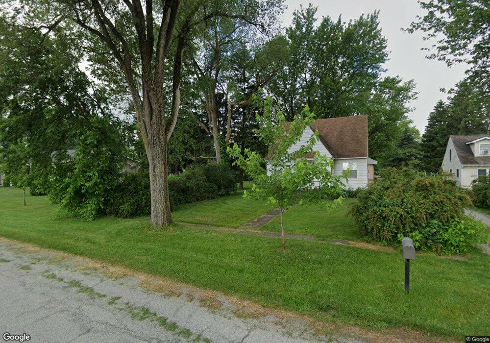
313 N Illinois St Wanatah, IN 46390
Estimated Value: $201,000 - $250,000
3
Beds
2
Baths
1,566
Sq Ft
$143/Sq Ft
Est. Value
About This Home
This home is located at 313 N Illinois St, Wanatah, IN 46390 and is currently estimated at $224,144, approximately $143 per square foot. 313 N Illinois St is a home.
Ownership History
Date
Name
Owned For
Owner Type
Purchase Details
Closed on
Aug 7, 2018
Bought by
Mcsparin Christopher
Current Estimated Value
Home Financials for this Owner
Home Financials are based on the most recent Mortgage that was taken out on this home.
Original Mortgage
$142,373
Outstanding Balance
$123,915
Interest Rate
4.6%
Estimated Equity
$100,229
Purchase Details
Closed on
Aug 25, 2005
Sold by
Herma Ronald J and Herma Barbara J
Bought by
Woolever Robert T and Woolever Diane L
Home Financials for this Owner
Home Financials are based on the most recent Mortgage that was taken out on this home.
Original Mortgage
$60,000
Interest Rate
5.62%
Mortgage Type
Fannie Mae Freddie Mac
Create a Home Valuation Report for This Property
The Home Valuation Report is an in-depth analysis detailing your home's value as well as a comparison with similar homes in the area
Home Values in the Area
Average Home Value in this Area
Purchase History
| Date | Buyer | Sale Price | Title Company |
|---|---|---|---|
| Mcsparin Christopher | -- | -- | |
| Woolever Robert T | -- | Chicago Title Insurance Comp |
Source: Public Records
Mortgage History
| Date | Status | Borrower | Loan Amount |
|---|---|---|---|
| Open | Mcsparin Christopher | $142,373 | |
| Closed | Mcsparin Christopher | -- | |
| Previous Owner | Woolever Robert T | $60,000 |
Source: Public Records
Tax History Compared to Growth
Tax History
| Year | Tax Paid | Tax Assessment Tax Assessment Total Assessment is a certain percentage of the fair market value that is determined by local assessors to be the total taxable value of land and additions on the property. | Land | Improvement |
|---|---|---|---|---|
| 2024 | $2,253 | $119,400 | $33,100 | $86,300 |
| 2022 | $2,130 | $106,500 | $27,700 | $78,800 |
| 2021 | $1,960 | $98,000 | $22,100 | $75,900 |
| 2020 | $1,960 | $98,000 | $22,100 | $75,900 |
| 2019 | $2,008 | $98,000 | $22,100 | $75,900 |
| 2018 | $1,977 | $95,700 | $18,200 | $77,500 |
| 2017 | $1,909 | $92,700 | $18,200 | $74,500 |
| 2016 | $1,919 | $93,500 | $18,200 | $75,300 |
| 2014 | $1,773 | $88,600 | $18,200 | $70,400 |
Source: Public Records
Map
Nearby Homes
- 305 N Ohio St
- 104 W Cross St
- 116 Sprunger Dr
- 106 N Illinois St Unit 266
- 207 N Washington St
- 627 Fieldcrest Cir
- 105 Earl St
- 0 W Hwy 30 Unit GNR545374
- 9552 S Bigelow Mill Rd
- 627 E 300 S
- 6465 W 1100 S
- W 800 S V L
- 421 Amy Rose Ln
- 83 Kaper Ln
- 87 Kaper Ln
- 0 Porters Vale Blvd Unit GNR544918
- 0 St Road 2 Unit GNR544911
- 168 Jamestown Ave
- 0 Parcel B 325 E
- 0 Parcel A 325 E