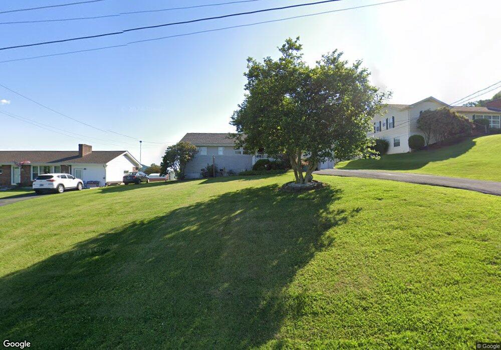
313 Sunnybrook Dr Bristol, TN 37620
Estimated Value: $190,000 - $227,000
3
Beds
2
Baths
1,161
Sq Ft
$179/Sq Ft
Est. Value
About This Home
This home is located at 313 Sunnybrook Dr, Bristol, TN 37620 and is currently estimated at $207,742, approximately $178 per square foot. 313 Sunnybrook Dr is a home located in Sullivan County with nearby schools including Avoca Elementary School, Vance Middle School, and Tennessee High School.
Ownership History
Date
Name
Owned For
Owner Type
Purchase Details
Closed on
Aug 17, 2015
Sold by
Somersaults Llc
Bought by
Depriest Jeanine J
Current Estimated Value
Purchase Details
Closed on
May 5, 2015
Sold by
Ellison Tara S
Bought by
Somersaults Llc
Purchase Details
Closed on
Dec 27, 2006
Sold by
Executor King Kenneth W
Bought by
Ellison Tara S
Purchase Details
Closed on
Dec 15, 2004
Sold by
Hatcher Michael B and Hatcher Donna S
Bought by
Bean Helen K
Create a Home Valuation Report for This Property
The Home Valuation Report is an in-depth analysis detailing your home's value as well as a comparison with similar homes in the area
Home Values in the Area
Average Home Value in this Area
Purchase History
| Date | Buyer | Sale Price | Title Company |
|---|---|---|---|
| Depriest Jeanine J | $96,900 | -- | |
| Somersaults Llc | $41,517 | -- | |
| Ellison Tara S | $101,455 | -- | |
| Bean Helen K | $98,900 | -- |
Source: Public Records
Tax History Compared to Growth
Tax History
| Year | Tax Paid | Tax Assessment Tax Assessment Total Assessment is a certain percentage of the fair market value that is determined by local assessors to be the total taxable value of land and additions on the property. | Land | Improvement |
|---|---|---|---|---|
| 2024 | -- | $22,600 | $3,725 | $18,875 |
| 2023 | $993 | $22,600 | $3,725 | $18,875 |
| 2022 | $993 | $22,600 | $3,725 | $18,875 |
| 2021 | $993 | $22,600 | $3,725 | $18,875 |
| 2020 | $902 | $22,600 | $3,725 | $18,875 |
| 2019 | $902 | $19,075 | $3,725 | $15,350 |
| 2018 | $898 | $19,075 | $3,725 | $15,350 |
| 2017 | $898 | $19,075 | $3,725 | $15,350 |
| 2016 | $1,246 | $25,825 | $3,725 | $22,100 |
| 2014 | $1,176 | $25,821 | $0 | $0 |
Source: Public Records
Map
Nearby Homes
- 305 Sunnybrook Dr
- 209 Santa fe Dr
- 208 Blue Ridge Dr
- 101 Timberlane Rd
- 1026 Deer Harbour Rd
- 521 Hickory Rd
- 316 Timberlane Rd
- 212 Hemlock Rd
- 210 Hemlock Rd
- 403 Martindale Rd
- 113 Hemlock Rd
- 302 Martindale Rd
- 2118 King College Rd
- 100 Martindale Rd
- 112 Holston View Dr
- 1208 Bluff City Hwy
- 208 Wimberly Way
- 240 Watson Rd
- 204 Johnston Ave
- 108 Quail Run
- 309 Sunnybrook Dr
- 317 Sunnybrook Dr
- 317 Sunnybrook Dr Unit 1
- 316 Orchard Dr
- 200 Santa fe Dr
- 312 Orchard Dr
- 312 Sunnybrook Dr
- 301 El Paso Dr
- 301 Sunnybrook Dr
- 316 Sunnybrook Dr
- 308 Orchard Dr
- 305 El Paso Dr
- 205 Santa fe Dr
- 344 Orchard Dr
- 217 Santa fe Dr
- 217 Sunnybrook Dr
- 304 Orchard Dr
- 328 Orchard Dr
- 309 El Paso Dr
- 308 Santa fe Dr