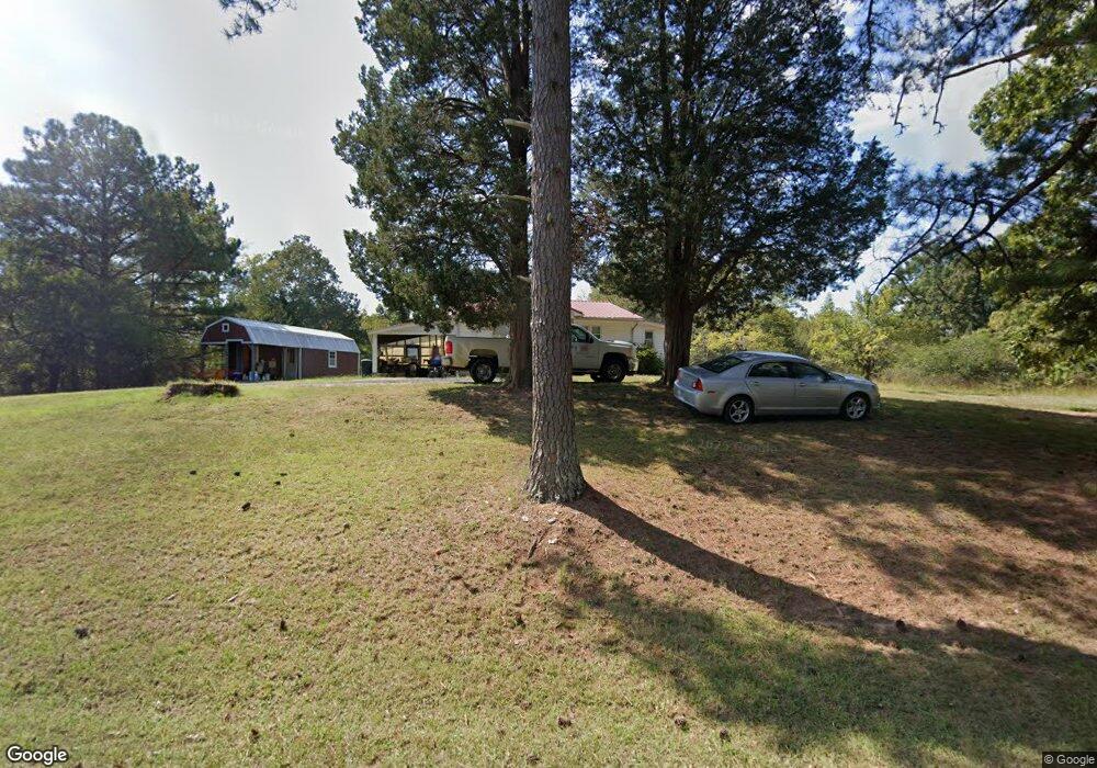
3130 Highway 104 N Cedar Grove, TN 38321
Estimated Value: $64,000 - $104,000
--
Bed
1
Bath
1,000
Sq Ft
$77/Sq Ft
Est. Value
About This Home
This home is located at 3130 Highway 104 N, Cedar Grove, TN 38321 and is currently estimated at $77,285, approximately $77 per square foot. 3130 Highway 104 N is a home located in Henderson County.
Ownership History
Date
Name
Owned For
Owner Type
Purchase Details
Closed on
Sep 3, 2021
Sold by
Greenway William Blake
Bought by
Webb Shelia J
Current Estimated Value
Home Financials for this Owner
Home Financials are based on the most recent Mortgage that was taken out on this home.
Original Mortgage
$31,000
Outstanding Balance
$8,566
Interest Rate
2.8%
Mortgage Type
Closed End Mortgage
Estimated Equity
$68,719
Purchase Details
Closed on
Dec 5, 2008
Sold by
Franklin E Wheeler
Bought by
Greenway William B
Purchase Details
Closed on
Dec 28, 1995
Bought by
Et Wheeler Franklin Eugene
Purchase Details
Closed on
Dec 27, 1995
Bought by
Wheeler Franklin Eugene and Wheeler Martha Frances
Purchase Details
Closed on
Feb 25, 1969
Bought by
Stanford Bryant
Create a Home Valuation Report for This Property
The Home Valuation Report is an in-depth analysis detailing your home's value as well as a comparison with similar homes in the area
Home Values in the Area
Average Home Value in this Area
Purchase History
| Date | Buyer | Sale Price | Title Company |
|---|---|---|---|
| Webb Shelia J | $42,500 | None Available | |
| Greenway William B | $47,500 | -- | |
| Et Wheeler Franklin Eugene | $22,000 | -- | |
| Wheeler Franklin Eugene | $19,100 | -- | |
| Stanford Bryant | -- | -- |
Source: Public Records
Mortgage History
| Date | Status | Borrower | Loan Amount |
|---|---|---|---|
| Open | Webb Shelia J | $31,000 |
Source: Public Records
Tax History Compared to Growth
Tax History
| Year | Tax Paid | Tax Assessment Tax Assessment Total Assessment is a certain percentage of the fair market value that is determined by local assessors to be the total taxable value of land and additions on the property. | Land | Improvement |
|---|---|---|---|---|
| 2024 | $249 | $15,750 | $4,900 | $10,850 |
| 2023 | $249 | $15,750 | $4,900 | $10,850 |
| 2022 | $201 | $8,500 | $2,650 | $5,850 |
| 2021 | $201 | $8,500 | $2,650 | $5,850 |
| 2020 | $201 | $8,500 | $2,650 | $5,850 |
| 2019 | $201 | $8,500 | $2,650 | $5,850 |
| 2018 | $191 | $8,375 | $2,650 | $5,725 |
| 2017 | $225 | $9,850 | $2,650 | $7,200 |
| 2016 | $220 | $9,275 | $2,425 | $6,850 |
| 2015 | $220 | $9,275 | $2,425 | $6,850 |
| 2014 | $221 | $9,289 | $0 | $0 |
Source: Public Records
Map
Nearby Homes
- 213 Jason Hollow Rd
- 255 Jason Hollow Rd
- Lot 5 Jason Hollow Rd
- 5 Jason Hollow Rd
- 163 Jason Hollow Rd
- Lot 30 Stan Ln
- 30 Stan Ln
- 00 Stan Ln
- 155 Fire Tower Rd
- 4260 Highfield Rd
- 115 Baudy James Rd
- 4555 Rue Hamner Rd
- 0 Daws Ln
- 000 Mt Gilead
- 780 Hickory Flat Rd
- 151 Williams Ln
- 400 Summit Chase Rd
- 0 New Bethel Rd
- 00 Royal Fox Point
- 2785 New Bethel Rd
- 3065 Highway 104 N
- 000 Hwy 104 N
- 3270 Highway 104 N
- 2915 Highway 104 N
- 2621 Highway 104 N
- 0 Hollow Lake Rd
- 41 Jason Hollow Rd
- 158 Jason Hollow Rd
- 69 Jason Hollow Rd
- 105 Jason Hollow Rd
- 139 Jason Hollow Rd
- 2370 Highway 104 N
- 25 Stan Ln
- 300 Susan Branch Lake Rd
- 00 Susan Branch Lake Rd
- 0 Susan Branch Lake Rd
- 208 Stan Ln
- 3840 Highway 104 N
- 3825 Highway 104 N
- 135 Stan Ln