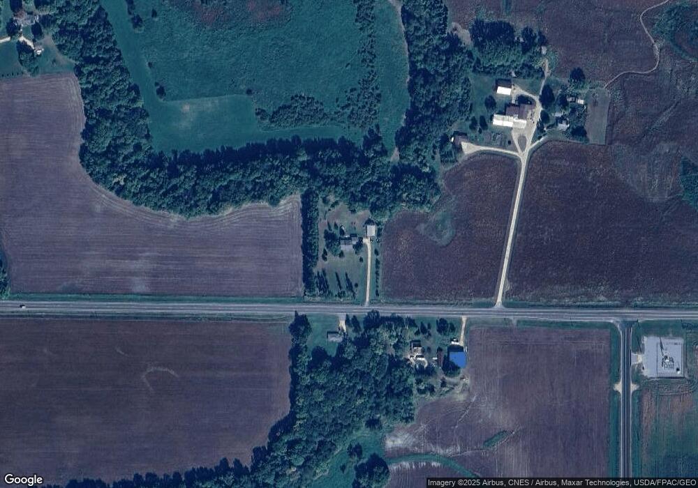
31302 490th St Kasota, MN 56050
Estimated Value: $330,000 - $568,000
3
Beds
1
Bath
1,472
Sq Ft
$305/Sq Ft
Est. Value
About This Home
This home is located at 31302 490th St, Kasota, MN 56050 and is currently estimated at $448,335, approximately $304 per square foot. 31302 490th St is a home located in Le Sueur County with nearby schools including Eagle Lake Elementary School, Prairie Winds Middle School, and Mankato East Senior High School.
Ownership History
Date
Name
Owned For
Owner Type
Purchase Details
Closed on
Aug 1, 2024
Sold by
Balbach Wayne and Balbach Denise
Bought by
Chatleain Jay and Chatleain Dana
Current Estimated Value
Home Financials for this Owner
Home Financials are based on the most recent Mortgage that was taken out on this home.
Original Mortgage
$305,000
Outstanding Balance
$301,549
Interest Rate
6.87%
Mortgage Type
New Conventional
Estimated Equity
$146,786
Create a Home Valuation Report for This Property
The Home Valuation Report is an in-depth analysis detailing your home's value as well as a comparison with similar homes in the area
Home Values in the Area
Average Home Value in this Area
Purchase History
| Date | Buyer | Sale Price | Title Company |
|---|---|---|---|
| Chatleain Jay | $475,000 | -- |
Source: Public Records
Mortgage History
| Date | Status | Borrower | Loan Amount |
|---|---|---|---|
| Open | Chatleain Jay | $305,000 |
Source: Public Records
Tax History Compared to Growth
Tax History
| Year | Tax Paid | Tax Assessment Tax Assessment Total Assessment is a certain percentage of the fair market value that is determined by local assessors to be the total taxable value of land and additions on the property. | Land | Improvement |
|---|---|---|---|---|
| 2025 | $3,526 | $389,100 | $148,000 | $241,100 |
| 2024 | $3,558 | $377,600 | $148,000 | $229,600 |
| 2023 | $4,598 | $370,300 | $148,000 | $222,300 |
| 2022 | $4,482 | $352,100 | $138,000 | $214,100 |
| 2021 | $4,336 | $308,000 | $120,000 | $188,000 |
| 2020 | $4,224 | $294,600 | $120,000 | $174,600 |
| 2019 | $4,046 | $278,400 | $115,359 | $163,041 |
| 2018 | $2,833 | $263,700 | $114,611 | $149,089 |
| 2017 | $2,737 | $251,000 | $109,172 | $141,828 |
| 2016 | $3,368 | $236,700 | $103,609 | $133,091 |
| 2015 | $2,155 | $212,200 | $94,600 | $117,600 |
| 2014 | $2,037 | $204,100 | $94,030 | $110,070 |
| 2013 | $2,018 | $204,100 | $94,030 | $110,070 |
Source: Public Records
Map
Nearby Homes
- 0 Tbd S Squirrels Nest Rd
- 1505 Squirrels Nest Rd
- 4112 Hillside Ln Unit Lake Washington
- 4112 Hillside Ln
- 31564 Clarks Ct
- 6206 Shamrock Dr
- 6308 Shamrock Dr
- TBD da Mar
- 0 da Mar Estates
- 60515 235th St
- 58605 243rd St
- 29281 Biehn Dr
- 29172 Biehn Dr
- 29036 Biehn Dr
- 0 Tbd Unit 2 604th Avenue
- 583rd Street
- 60176 224th Ln
- 22973 Minnesota 22
- 0 Tbd 227th St
- 307 Krason Dr
- 59823 243rd St
- 59795 243rd St
- 31194 490th St
- 48807 Shanaska Creek Rd
- 48641 Shanaska Creek Rd
- 59563 243rd St
- 2212 Evergreen Dr
- 2210 Evergreen Dr
- 2208 Evergreen Dr Unit Lake Washington
- 48597 Shanaska Creek Rd
- 59543 243rd St
- 2204 Evergreen Dr
- 2518 Crystal Cove Rd
- 2205 Evergreen Dr
- 2516 Crystal Cove Rd
- 2512 Crystal Cove Rd
- 2202 Evergreen Dr
- 2202 Evergreen Dr Unit Lake Washington
- 2510 Crystal Cove Rd
- 2510 Crystal Cove Rd