3131 E Palmer Divide Ave Larkspur, CO 80118
Estimated Value: $1,955,000 - $2,545,000
5
Beds
5
Baths
6,020
Sq Ft
$379/Sq Ft
Est. Value
About This Home
This home is located at 3131 E Palmer Divide Ave, Larkspur, CO 80118 and is currently estimated at $2,284,486, approximately $379 per square foot. 3131 E Palmer Divide Ave is a home located in Douglas County with nearby schools including Larkspur Elementary School, Castle Rock Middle School, and Castle View High School.
Ownership History
Date
Name
Owned For
Owner Type
Purchase Details
Closed on
Jun 25, 2020
Sold by
Byar Craig A and Byar Cindy L
Bought by
Trunck Bruce and Trunck Sherry
Current Estimated Value
Home Financials for this Owner
Home Financials are based on the most recent Mortgage that was taken out on this home.
Original Mortgage
$1,500,000
Outstanding Balance
$1,341,322
Interest Rate
3.2%
Mortgage Type
New Conventional
Estimated Equity
$943,164
Purchase Details
Closed on
Jul 30, 2013
Sold by
Geist Raymond A
Bought by
Byar Craig A and Byar Cindy L
Home Financials for this Owner
Home Financials are based on the most recent Mortgage that was taken out on this home.
Original Mortgage
$875,000
Interest Rate
3.93%
Mortgage Type
Seller Take Back
Create a Home Valuation Report for This Property
The Home Valuation Report is an in-depth analysis detailing your home's value as well as a comparison with similar homes in the area
Home Values in the Area
Average Home Value in this Area
Purchase History
| Date | Buyer | Sale Price | Title Company |
|---|---|---|---|
| Trunck Bruce | $1,900,000 | Land Title Guarantee Co | |
| Byar Craig A | $1,125,000 | Heritage Title |
Source: Public Records
Mortgage History
| Date | Status | Borrower | Loan Amount |
|---|---|---|---|
| Open | Trunck Bruce | $1,500,000 | |
| Previous Owner | Byar Craig A | $875,000 | |
| Previous Owner | Byar Craig A | $875,000 | |
| Previous Owner | Geist Raymond A | $249,000 | |
| Previous Owner | Geist Raymond A | $120,000 |
Source: Public Records
Tax History Compared to Growth
Tax History
| Year | Tax Paid | Tax Assessment Tax Assessment Total Assessment is a certain percentage of the fair market value that is determined by local assessors to be the total taxable value of land and additions on the property. | Land | Improvement |
|---|---|---|---|---|
| 2024 | $11,610 | $129,640 | $33,500 | $96,140 |
| 2023 | $11,193 | $123,850 | $33,500 | $90,350 |
| 2022 | $9,435 | $105,440 | $24,390 | $81,050 |
| 2021 | $9,769 | $105,440 | $24,390 | $81,050 |
| 2020 | $7,052 | $77,670 | $17,490 | $60,180 |
| 2019 | $7,075 | $77,670 | $17,490 | $60,180 |
| 2018 | $5,934 | $63,930 | $14,050 | $49,880 |
| 2017 | $5,555 | $63,930 | $14,050 | $49,880 |
| 2016 | $6,625 | $74,900 | $17,910 | $56,990 |
| 2015 | $6,468 | $74,900 | $17,910 | $56,990 |
Source: Public Records
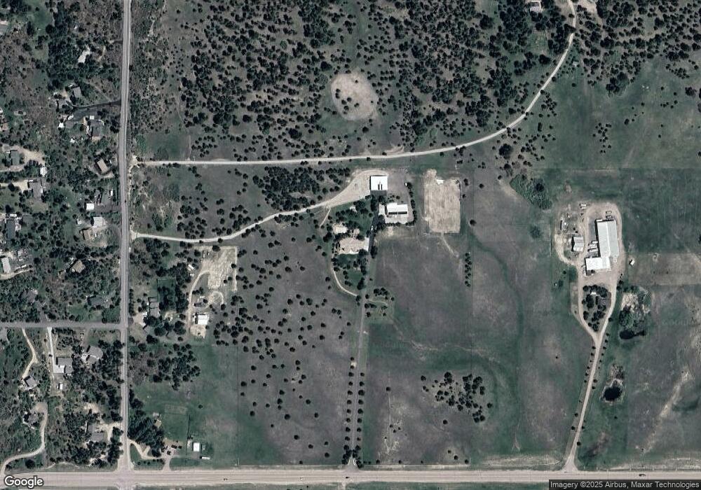
Map
Nearby Homes
- 15721 Furrow Rd
- 19953 Vista Clara Ln
- 3278 Estates Cir
- 465 Indian Way
- 345 Lions Head Dr
- 19945 E Top O the Moor Dr
- 19575 Misty Morning Dr
- 1063 Greenland Forest Dr
- 1057 Golden Pine Ln
- 730 Winding Hills Rd
- 1163 Greenland Forest Dr
- 115 E Kings Deer Point
- 20401 High Pines Dr Unit 32
- 19595 E Top O the Moor Dr
- 19420 Glencannon Way
- 20316 High Pines Dr
- 1317 Montcombe Dr
- 20416 Kenneth Lainer Dr
- 1180 Lone Scout Lookout
- 19460 Bardsley Place
- 15876 Furrow Rd
- 15781 Furrow Rd
- 3359 E Palmer Divide Ave
- 15753 Furrow Rd
- 15805 Furrow Rd
- 15823 Furrow Rd
- 3033 Palmer Divide Ave
- 3033 E Palmer Divide Ave
- 15851 Furrow Rd
- 2998 Ivey Dr
- 15721 S Furrow Rd
- 15701 Furrow Rd
- 2948 Ivey Dr
- 15987 Furrow Rd
- 15772 Ray Dr
- 15653 Furrow Rd
- 15806 Ray Dr
- 15838 Ray Dr
- 2913 Ivey Dr
- 15752 Ray Dr