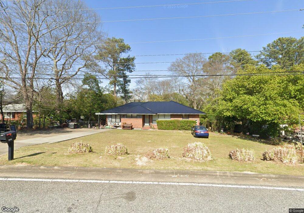
3131 W Britt David Rd Columbus, GA 31909
Estimated Value: $191,000 - $222,000
3
Beds
2
Baths
1,910
Sq Ft
$107/Sq Ft
Est. Value
About This Home
This home is located at 3131 W Britt David Rd, Columbus, GA 31909 and is currently estimated at $205,090, approximately $107 per square foot. 3131 W Britt David Rd is a home located in Muscogee County with nearby schools including Allen Elementary School, Arnold Middle School, and Jordan Vocational High School.
Ownership History
Date
Name
Owned For
Owner Type
Purchase Details
Closed on
Dec 6, 2021
Sold by
Blake Rogers Ryan
Bought by
Rogers Ryan Blake and Rogers Carolyn
Current Estimated Value
Purchase Details
Closed on
Nov 19, 2021
Sold by
Rogers Ryan Blake
Bought by
Rogers Ryan Blake and Rogers Caroline
Create a Home Valuation Report for This Property
The Home Valuation Report is an in-depth analysis detailing your home's value as well as a comparison with similar homes in the area
Home Values in the Area
Average Home Value in this Area
Purchase History
| Date | Buyer | Sale Price | Title Company |
|---|---|---|---|
| Rogers Ryan Blake | -- | Goggans Stutzman Hudson Wilson | |
| Rogers Ryan Blake | -- | -- |
Source: Public Records
Tax History Compared to Growth
Tax History
| Year | Tax Paid | Tax Assessment Tax Assessment Total Assessment is a certain percentage of the fair market value that is determined by local assessors to be the total taxable value of land and additions on the property. | Land | Improvement |
|---|---|---|---|---|
| 2025 | $311 | $65,900 | $8,820 | $57,080 |
| 2024 | $310 | $65,900 | $8,820 | $57,080 |
| 2023 | $18 | $65,900 | $8,820 | $57,080 |
| 2022 | $323 | $53,056 | $8,820 | $44,236 |
| 2021 | $316 | $52,104 | $8,820 | $43,284 |
| 2020 | $316 | $52,104 | $8,820 | $43,284 |
| 2019 | $319 | $52,104 | $8,820 | $43,284 |
| 2018 | $319 | $52,104 | $8,820 | $43,284 |
| 2017 | $322 | $52,104 | $8,820 | $43,284 |
| 2016 | $324 | $28,751 | $6,998 | $21,753 |
| 2015 | $326 | $28,751 | $6,998 | $21,753 |
| 2014 | $327 | $28,751 | $6,998 | $21,753 |
| 2013 | -- | $28,751 | $6,998 | $21,753 |
Source: Public Records
Map
Nearby Homes
- 3308 Mustang Dr
- 5552 Perry Ave
- 5435 Wayne Dr
- 5817 Sherborne Dr
- 3618 Grier Ave
- 5836 Sherborne Dr
- 5829 Ventura Dr
- 3710 Winkfield Place
- 2813 Hart Dr
- 6138 Seaton Dr
- 2528 Lorraine St
- 3504 Vernon Dr
- 3325 N North Quay Dr
- 2516 Lorraine St
- 6218 Westbrook Dr
- 2325 Coventry Dr
- 2208 Airport Thruway
- 6308 Adams Park Dr
- 5239 23rd Ave
- 3427 Larkin St
- 3121 W Britt David Rd
- 3137 W Britt David Rd
- 3152 Mustang Dr
- 3144 Mustang Dr
- 3202 Mustang Dr
- 3145 W Britt David Rd
- 3208 Mustang Dr
- 5511 Canberra Ave
- 5519 Canberra Ave
- 3153 W Britt David Rd
- 5525 Canberra Ave
- 3216 Mustang Dr
- 3105 W Britt David Rd
- 3147 Mustang Dr
- 3155 Mustang Dr
- 3207 W Britt David Rd
- 3205 Mustang Dr
- 3222 Mustang Dr
- 3120 Mustang Dr
- 3213 Mustang Dr