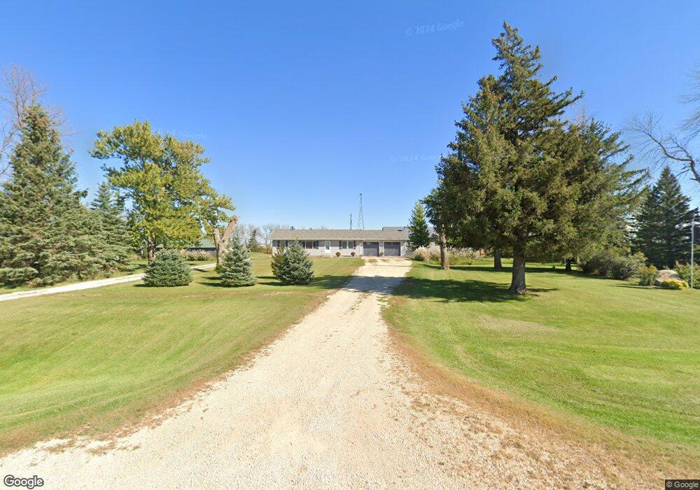
31310 690th Ave Dexter, MN 55926
Estimated Value: $341,000 - $542,904
4
Beds
3
Baths
2,458
Sq Ft
$178/Sq Ft
Est. Value
About This Home
This home is located at 31310 690th Ave, Dexter, MN 55926 and is currently estimated at $438,476, approximately $178 per square foot. 31310 690th Ave is a home located in Mower County with nearby schools including Hayfield Elementary School, Hayfield Secondary School, and Haven School.
Ownership History
Date
Name
Owned For
Owner Type
Purchase Details
Closed on
Oct 2, 2020
Sold by
Ginapp Gary
Bought by
Bathke Nathan L and Bathke Shelby
Current Estimated Value
Home Financials for this Owner
Home Financials are based on the most recent Mortgage that was taken out on this home.
Original Mortgage
$271,200
Outstanding Balance
$240,778
Interest Rate
2.8%
Mortgage Type
New Conventional
Estimated Equity
$197,698
Purchase Details
Closed on
Jul 5, 2005
Sold by
Ginapp Lucille and Puodziunas Diane
Bought by
Ginapp Gary
Create a Home Valuation Report for This Property
The Home Valuation Report is an in-depth analysis detailing your home's value as well as a comparison with similar homes in the area
Purchase History
| Date | Buyer | Sale Price | Title Company |
|---|---|---|---|
| Bathke Nathan L | $339,000 | None Available | |
| Ginapp Gary | -- | None Available |
Source: Public Records
Mortgage History
| Date | Status | Borrower | Loan Amount |
|---|---|---|---|
| Open | Bathke Nathan L | $271,200 |
Source: Public Records
Tax History
| Year | Tax Paid | Tax Assessment Tax Assessment Total Assessment is a certain percentage of the fair market value that is determined by local assessors to be the total taxable value of land and additions on the property. | Land | Improvement |
|---|---|---|---|---|
| 2025 | $3,418 | $461,000 | $112,000 | $349,000 |
| 2024 | $3,418 | $461,300 | $112,000 | $349,300 |
| 2023 | $3,194 | $477,000 | $112,000 | $365,000 |
| 2022 | $3,026 | $398,600 | $112,000 | $286,600 |
| 2021 | $3,062 | $320,200 | $96,000 | $224,200 |
| 2020 | $2,790 | $318,500 | $96,000 | $222,500 |
| 2018 | $780 | $280,300 | $64,000 | $216,300 |
| 2017 | $1,560 | $0 | $0 | $0 |
| 2016 | $1,324 | $0 | $0 | $0 |
| 2015 | $1,658 | $0 | $0 | $0 |
| 2012 | $1,658 | $0 | $0 | $0 |
Source: Public Records
Map
Nearby Homes
- 27383 700 Ave
- 10750 County Road 149 SW
- 73864 300th St
- 74718 270th Ave
- TBD Cedar L6b1 St
- TBD Cedar L3b2 St
- 1600 County 8 Rd SW
- TBD N Pine St
- TBD 680 Ave
- 254 Pleasant St
- XXX 257th St
- 25635 739th Ave
- 10951 County 8 Rd SW
- xxx 310 St
- 105 3rd Ave NE
- 213 2nd St NE
- 599 Kodiak Dr NW
- 583 Kodiak Dr NW
- 615 Kodiak Dr NW
- 567 Kodiak Dr NW
Your Personal Tour Guide
Ask me questions while you tour the home.