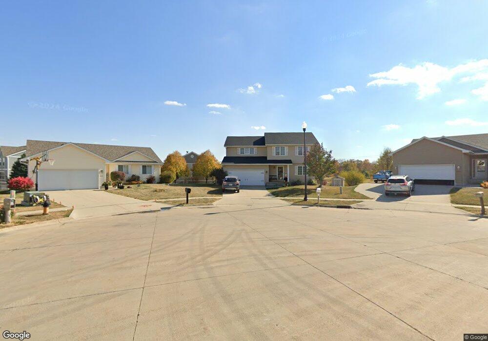
3132 SW Butternut Ct Ankeny, IA 50023
Southwest Ankeny NeighborhoodEstimated Value: $349,000 - $378,000
3
Beds
3
Baths
1,833
Sq Ft
$197/Sq Ft
Est. Value
About This Home
This home is located at 3132 SW Butternut Ct, Ankeny, IA 50023 and is currently estimated at $360,859, approximately $196 per square foot. 3132 SW Butternut Ct is a home located in Polk County with nearby schools including Crocker Elementary School, Southview Middle School, and Parkview Middle School.
Ownership History
Date
Name
Owned For
Owner Type
Purchase Details
Closed on
Apr 27, 2008
Sold by
Cosgriff Development Llc
Bought by
Ford Tony W and Ford Shantelle A
Current Estimated Value
Home Financials for this Owner
Home Financials are based on the most recent Mortgage that was taken out on this home.
Original Mortgage
$169,110
Outstanding Balance
$106,620
Interest Rate
5.88%
Estimated Equity
$254,239
Create a Home Valuation Report for This Property
The Home Valuation Report is an in-depth analysis detailing your home's value as well as a comparison with similar homes in the area
Home Values in the Area
Average Home Value in this Area
Purchase History
| Date | Buyer | Sale Price | Title Company |
|---|---|---|---|
| Ford Tony W | $187,500 | None Available |
Source: Public Records
Mortgage History
| Date | Status | Borrower | Loan Amount |
|---|---|---|---|
| Open | Ford Tony W | $169,110 |
Source: Public Records
Tax History Compared to Growth
Tax History
| Year | Tax Paid | Tax Assessment Tax Assessment Total Assessment is a certain percentage of the fair market value that is determined by local assessors to be the total taxable value of land and additions on the property. | Land | Improvement |
|---|---|---|---|---|
| 2025 | $5,524 | $356,700 | $86,300 | $270,400 |
| 2024 | $5,524 | $334,400 | $80,100 | $254,300 |
| 2023 | $5,698 | $334,400 | $80,100 | $254,300 |
| 2022 | $5,634 | $283,700 | $69,600 | $214,100 |
| 2021 | $5,518 | $283,700 | $69,600 | $214,100 |
| 2020 | $5,444 | $262,400 | $64,300 | $198,100 |
| 2019 | $5,154 | $262,400 | $64,300 | $198,100 |
| 2018 | $5,140 | $237,400 | $57,200 | $180,200 |
| 2017 | $4,970 | $237,400 | $57,200 | $180,200 |
| 2016 | $4,964 | $216,900 | $51,400 | $165,500 |
| 2015 | $4,964 | $216,900 | $51,400 | $165,500 |
| 2014 | $4,036 | $177,900 | $48,800 | $129,100 |
Source: Public Records
Map
Nearby Homes
- 3112 SW Sharmin Ln
- 3166 SW Arlan Ln
- 3035 SW Arlan Ln
- 2116 SW 35th St
- 3003 SW White Birch Dr
- 2222 SW 35th St
- 2839 SW Chestnut Dr
- 1805 SW White Birch Cir Unit 10
- 1845 SW White Birch Cir Unit 1
- 3211 SW Applewood St
- 3110 SW Franklin Ln
- 3402 SW Applewood St
- 2823 SW Reunion Dr
- 4501 SW Sawgrass Pkwy
- 3125 SW Franklin Ln
- 3501 SW Westwood St
- 4103 SW Westview Dr
- 3803 SW Franklin Dr
- 3606 SW Greenwood St
- 3213 SW Townpark Cir
- 3128 SW Butternut Ct
- 3131 SW Butternut Ct
- 3150 SW Sharmin Ln
- 3144 SW Sharmin Ln
- 3206 SW Sharmin Ln
- 3148 SW Sharmin Ln
- 3142 SW Sharmin Ln
- 3204 SW Sharmin Ln
- 3146 SW Sharmin Ln
- 3124 SW Butternut Ct
- 3140 SW Sharmin Ln
- 3202 SW Sharmin Ln
- 3130 SW Sharmin Ln
- 3124 SW Sharmin Ln
- 3128 SW Sharmin Ln
- 3127 SW Butternut Ct
- 3122 SW Sharmin Ln
- 3126 SW Sharmin Ln
- 3120 SW Butternut Ct
- 3120 SW Sharmin Ln