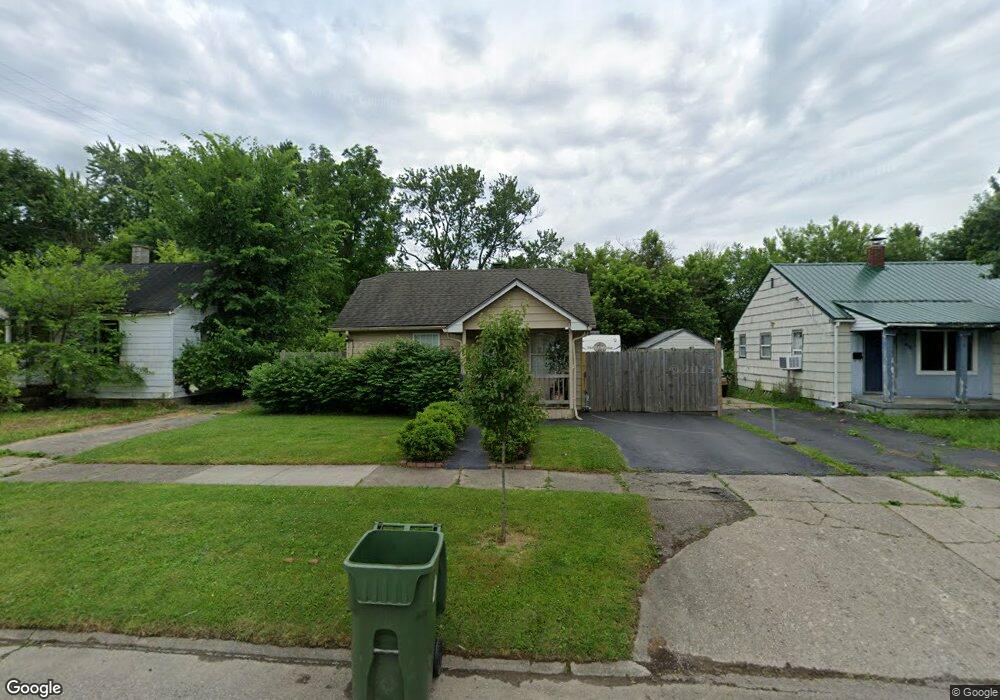
3132 Woodrow Ave Flint, MI 48506
Potter Longway NeighborhoodEstimated Value: $38,000 - $57,000
2
Beds
1
Bath
568
Sq Ft
$82/Sq Ft
Est. Value
About This Home
This home is located at 3132 Woodrow Ave, Flint, MI 48506 and is currently estimated at $46,830, approximately $82 per square foot. 3132 Woodrow Ave is a home located in Genesee County with nearby schools including Potter School, Richfield Public School Academy, and Richfield Early Learning Center.
Ownership History
Date
Name
Owned For
Owner Type
Purchase Details
Closed on
Feb 24, 2020
Sold by
Mason Lonnie G
Bought by
Cosico Vietor A
Current Estimated Value
Purchase Details
Closed on
Nov 5, 2016
Sold by
Theresa Bctakas Fredrick and Theresa Bctakas
Bought by
Cosico Victor
Purchase Details
Closed on
Dec 10, 2014
Sold by
Smith Daniel J
Bought by
Betakas Fredrick J
Purchase Details
Closed on
Nov 19, 2014
Sold by
Genesee County Treasurer
Bought by
Smith Daniel J
Create a Home Valuation Report for This Property
The Home Valuation Report is an in-depth analysis detailing your home's value as well as a comparison with similar homes in the area
Home Values in the Area
Average Home Value in this Area
Purchase History
| Date | Buyer | Sale Price | Title Company |
|---|---|---|---|
| Cosico Vietor A | -- | None Available | |
| Cosico Victor | -- | None Available | |
| Betakas Fredrick J | -- | None Available | |
| Smith Daniel J | $200 | None Available |
Source: Public Records
Mortgage History
| Date | Status | Borrower | Loan Amount |
|---|---|---|---|
| Closed | Cosico Victor | $0 |
Source: Public Records
Tax History Compared to Growth
Tax History
| Year | Tax Paid | Tax Assessment Tax Assessment Total Assessment is a certain percentage of the fair market value that is determined by local assessors to be the total taxable value of land and additions on the property. | Land | Improvement |
|---|---|---|---|---|
| 2025 | $584 | $18,300 | $0 | $0 |
| 2024 | $543 | $16,300 | $0 | $0 |
| 2023 | $542 | $12,700 | $0 | $0 |
| 2022 | $0 | $10,100 | $0 | $0 |
| 2021 | $554 | $9,400 | $0 | $0 |
| 2020 | $514 | $8,000 | $0 | $0 |
| 2019 | $510 | $5,100 | $0 | $0 |
| 2018 | $505 | $5,500 | $0 | $0 |
| 2017 | $541 | $0 | $0 | $0 |
| 2016 | $636 | $0 | $0 | $0 |
| 2015 | -- | $0 | $0 | $0 |
| 2014 | -- | $0 | $0 | $0 |
| 2012 | -- | $8,100 | $0 | $0 |
Source: Public Records
Map
Nearby Homes
- 3149 Whittier Ave
- 3116 Beechwood Ave
- 3220 Woodrow Ave
- 3205 Holly Ave
- 2719 Branch Rd
- 3214 Maryland Ave
- 3232 Dale Ave
- 3514 Whittier Ave
- 2211 Torrance St
- 3401 Davison Rd
- 2426 Hoff St
- 3602 Dakota Ave
- 3617 Churchill Ave
- 3713 Risedorph Ave
- 3617 Davison Rd
- 3421 Brewster St
- 3730 Holly Ave
- 3010 Wyoming Ave
- 1414 Earlmoor Blvd
- 3739 Marmion Ave
- 3128 Woodrow Ave
- 3136 Woodrow Ave
- 3124 Woodrow Ave
- 3140 Woodrow Ave
- 3125 Whittier Ave
- 3129 Whittier Ave
- 3144 Woodrow Ave
- 3120 Woodrow Ave Unit Bldg-Unit
- 3120 Woodrow Ave
- 3117 Whittier Ave
- 3133 Whittier Ave
- 3131 Woodrow Ave
- 3148 Woodrow Ave
- 3116 Woodrow Ave
- 3133 Woodrow Ave
- 3137 Woodrow Ave
- 3113 Whittier Ave
- 3152 Woodrow Ave
- 3119 Woodrow Ave
- 3112 Woodrow Ave