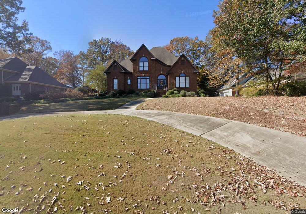
3133 Brook Highland Dr Birmingham, AL 35242
Estimated Value: $600,802 - $675,000
--
Bed
1
Bath
3,153
Sq Ft
$201/Sq Ft
Est. Value
About This Home
This home is located at 3133 Brook Highland Dr, Birmingham, AL 35242 and is currently estimated at $633,201, approximately $200 per square foot. 3133 Brook Highland Dr is a home located in Shelby County with nearby schools including Inverness Elementary School, Oak Mountain Intermediate School, and Oak Mt. Middle School.
Ownership History
Date
Name
Owned For
Owner Type
Purchase Details
Closed on
Jul 24, 2003
Sold by
Powell Max and Powell Eleanor H
Bought by
Fields Randall L and Fields Susan B
Current Estimated Value
Home Financials for this Owner
Home Financials are based on the most recent Mortgage that was taken out on this home.
Original Mortgage
$74,045
Interest Rate
5.16%
Mortgage Type
Unknown
Create a Home Valuation Report for This Property
The Home Valuation Report is an in-depth analysis detailing your home's value as well as a comparison with similar homes in the area
Home Values in the Area
Average Home Value in this Area
Purchase History
| Date | Buyer | Sale Price | Title Company |
|---|---|---|---|
| Fields Randall L | -- | -- |
Source: Public Records
Mortgage History
| Date | Status | Borrower | Loan Amount |
|---|---|---|---|
| Closed | Fields Randall L | $74,045 |
Source: Public Records
Tax History Compared to Growth
Tax History
| Year | Tax Paid | Tax Assessment Tax Assessment Total Assessment is a certain percentage of the fair market value that is determined by local assessors to be the total taxable value of land and additions on the property. | Land | Improvement |
|---|---|---|---|---|
| 2024 | $2,372 | $53,900 | $0 | $0 |
| 2023 | $2,255 | $52,180 | $0 | $0 |
| 2022 | $2,164 | $50,120 | $0 | $0 |
| 2021 | $1,961 | $45,500 | $0 | $0 |
| 2020 | $1,835 | $42,640 | $0 | $0 |
| 2019 | $1,727 | $40,180 | $0 | $0 |
| 2017 | $1,676 | $39,020 | $0 | $0 |
| 2015 | $1,598 | $37,240 | $0 | $0 |
| 2014 | $1,571 | $36,640 | $0 | $0 |
Source: Public Records
Map
Nearby Homes
- 4227 Ashington Dr
- 1645 Wingfield Dr
- 1010 Warrington Cir
- 225 Courtside Dr
- 1616 Wingfield Trace
- 243 Courtside Dr Unit 45
- 121 Palmer Cove
- 3212 Brook Highland Trace
- 2080 Brook Highland Ridge
- 2096 Brook Highland Ridge
- 2076 Brook Highland Ridge
- 3213 Brook Highland Trace
- 2552 Magnolia Place
- 3071 Somerset Trace
- 5330 Meadowlark Ln
- 3100 Somerset Trace
- 1033 Linkside Dr
- 1257 Greystone Parc Dr
- 5320 Greystone Way
- 145 Brook Highland Cove
- 3129 Brook Highland Dr
- 3137 Brook Highland Dr
- 4112 Ashington Dr
- 4108 Ashington Dr
- 3125 Brook Highland Dr
- 3136 Brook Highland Dr
- 3141 Brook Highland Dr
- 4116 Ashington Dr
- 4104 Ashington Dr
- 3132 Brook Highland Dr
- 3128 Brook Highland Dr
- 3121 Brook Highland Dr
- 3140 Brook Highland Dr
- 4109 Ashington Dr
- 3145 Brook Highland Dr
- 4120 Ashington Dr
- 3124 Brook Highland Dr
- 3904 Cannock Dr
- 4101 Ashington Dr
- 3144 Brook Highland Dr