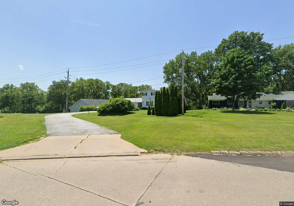
3133 E Kimberly Rd Davenport, IA 52807
North Side NeighborhoodEstimated Value: $271,000 - $321,000
5
Beds
3
Baths
1,846
Sq Ft
$159/Sq Ft
Est. Value
About This Home
This home is located at 3133 E Kimberly Rd, Davenport, IA 52807 and is currently estimated at $293,306, approximately $158 per square foot. 3133 E Kimberly Rd is a home located in Scott County with nearby schools including Jones Park Elementary School, Eisenhower Elementary School, and Casey County Middle School.
Ownership History
Date
Name
Owned For
Owner Type
Purchase Details
Closed on
Jul 19, 2006
Sold by
Martin Joseph W and Martin Mary E
Bought by
Walsh Daniel P and Walsh Linda L
Current Estimated Value
Home Financials for this Owner
Home Financials are based on the most recent Mortgage that was taken out on this home.
Original Mortgage
$127,600
Outstanding Balance
$48,752
Interest Rate
6.25%
Mortgage Type
Adjustable Rate Mortgage/ARM
Estimated Equity
$244,554
Create a Home Valuation Report for This Property
The Home Valuation Report is an in-depth analysis detailing your home's value as well as a comparison with similar homes in the area
Home Values in the Area
Average Home Value in this Area
Purchase History
| Date | Buyer | Sale Price | Title Company |
|---|---|---|---|
| Walsh Daniel P | $159,000 | None Available |
Source: Public Records
Mortgage History
| Date | Status | Borrower | Loan Amount |
|---|---|---|---|
| Open | Walsh Daniel P | $127,600 |
Source: Public Records
Tax History Compared to Growth
Tax History
| Year | Tax Paid | Tax Assessment Tax Assessment Total Assessment is a certain percentage of the fair market value that is determined by local assessors to be the total taxable value of land and additions on the property. | Land | Improvement |
|---|---|---|---|---|
| 2025 | $4,012 | $247,050 | $37,910 | $209,140 |
| 2024 | $3,912 | $234,750 | $37,910 | $196,840 |
| 2023 | $3,899 | $234,750 | $37,910 | $196,840 |
| 2022 | $3,993 | $187,990 | $33,170 | $154,820 |
| 2021 | $3,842 | $187,990 | $33,170 | $154,820 |
| 2020 | $3,886 | $173,910 | $33,170 | $140,740 |
| 2019 | $3,698 | $166,880 | $33,170 | $133,710 |
| 2018 | $426 | $166,880 | $33,170 | $133,710 |
| 2017 | $3,600 | $166,880 | $33,170 | $133,710 |
| 2016 | $3,528 | $166,880 | $0 | $0 |
| 2015 | $3,464 | $166,820 | $0 | $0 |
| 2014 | $3,512 | $166,820 | $0 | $0 |
| 2013 | $3,446 | $0 | $0 | $0 |
| 2012 | -- | $154,380 | $34,510 | $119,870 |
Source: Public Records
Map
Nearby Homes
- 3000 E 32nd St Unit 14
- 3315 Fairhaven Rd
- 2805 Carriage Hill Dr
- 2846 Magnolia Dr
- 2704 Magnolia Dr
- 2586 E George Washington Blvd
- 2601 Magnolia Dr
- 2501 E 34th Street Ct
- 2506 E 35th Street Ct
- 1115 Spruce Hills Dr
- 2625 Holly Dr
- 3806 Lorton Ave
- 2612 Crestview Dr
- 1101 Hawthorne Dr
- 3044 Jersey Ridge Rd
- 2946 Jersey Ridge Rd
- 2919 E 44th Ct
- 2234 Fairhaven Rd
- 2706 Ridgewood Ave
- 22 Oakbrook Dr
- 3113 E Kimberly Rd
- 3105 E Kimberly Rd
- 3218 E Kimberly Rd
- 3216 E Kimberly Rd
- 3200 E Kimberly Rd
- 3025 E Kimberly Rd
- 2959 E 32nd St
- 3017 E Kimberly Rd
- 2945 E 32nd St
- 2900 E 32nd St
- 3008 E 31st St
- 3300 E Kimberly Rd
- 3300 E Kimberly Rd
- 2935 E 32nd St
- 3013 E 31st St
- 3006 E 31st St
- 3211 Forrest Glen Ct
- 3220 E Kimberly Rd
- 3011 E 31st St
- 3005 E 31st St