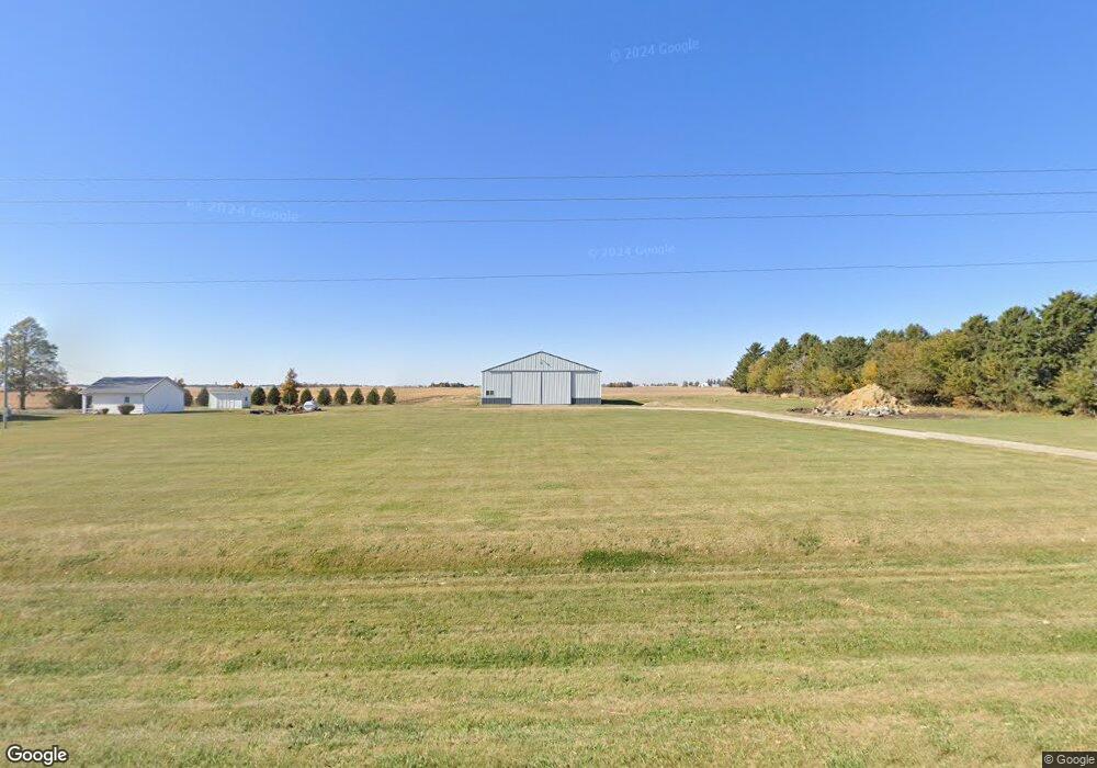
31341 K Ave Beaman, IA 50609
Estimated Value: $190,000 - $240,000
3
Beds
2
Baths
1,646
Sq Ft
$128/Sq Ft
Est. Value
About This Home
This home is located at 31341 K Ave, Beaman, IA 50609 and is currently estimated at $210,615, approximately $127 per square foot. 31341 K Ave is a home located in Grundy County with nearby schools including BCLUW Elementary School, BCLUW Middle School, and BCLUW High School.
Ownership History
Date
Name
Owned For
Owner Type
Purchase Details
Closed on
Mar 28, 2024
Sold by
J & R Porter Farms Ltd
Bought by
Engle Caleb E and Engle Macy L
Current Estimated Value
Home Financials for this Owner
Home Financials are based on the most recent Mortgage that was taken out on this home.
Original Mortgage
$154,700
Outstanding Balance
$151,811
Interest Rate
6.88%
Mortgage Type
New Conventional
Estimated Equity
$58,804
Create a Home Valuation Report for This Property
The Home Valuation Report is an in-depth analysis detailing your home's value as well as a comparison with similar homes in the area
Purchase History
| Date | Buyer | Sale Price | Title Company |
|---|---|---|---|
| Engle Caleb E | $182,500 | None Listed On Document | |
| B M J Inc | $3,918,500 | None Listed On Document | |
| Engle Caleb E | $182,500 | None Listed On Document |
Source: Public Records
Mortgage History
| Date | Status | Borrower | Loan Amount |
|---|---|---|---|
| Open | Engle Caleb E | $154,700 | |
| Closed | Engle Caleb E | $154,700 |
Source: Public Records
Tax History
| Year | Tax Paid | Tax Assessment Tax Assessment Total Assessment is a certain percentage of the fair market value that is determined by local assessors to be the total taxable value of land and additions on the property. | Land | Improvement |
|---|---|---|---|---|
| 2025 | $2,102 | $182,700 | $50,920 | $131,780 |
| 2024 | $2,102 | $181,890 | $5,420 | $176,470 |
Source: Public Records
Map
Nearby Homes
- 504 McMartin St
- 102 Sunrise Blvd
- 602 E Maple Ave
- 614 N Vernon St
- 614 N Vernon St Unit 50
- 610 N Vernon St Unit 49
- 610 N Vernon St
- 405 Farmers
- 606 N Vernon St Unit 48
- 606 N Vernon St
- 401 N Vernon St Unit 22
- 613 N Vernon St Unit 7
- 410 N Vernon St Unit 40
- 405 N Vernon St Unit 21
- 609 N Vernon St Unit 8
- 414 N Vernon St Unit 41
- 414 N Vernon St
- 614 N Main St
- 614 N Main St Unit 6
- 409 N Vernon St Unit 20
Your Personal Tour Guide
Ask me questions while you tour the home.