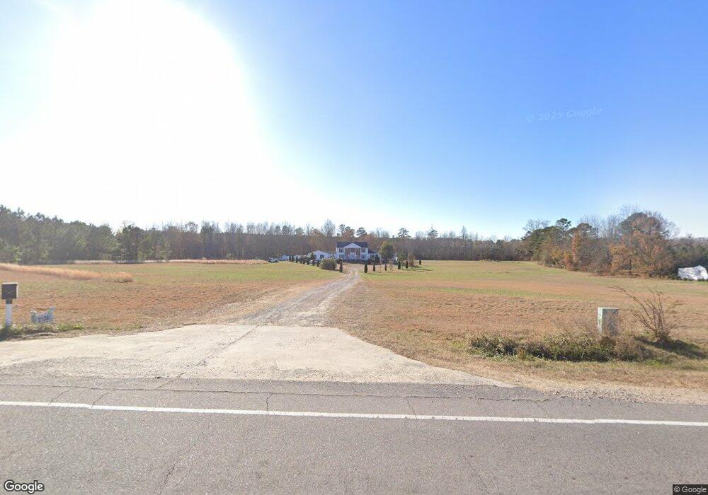
3136 Nc 39 Hwy S Louisburg, NC 27549
Estimated Value: $728,000 - $909,901
5
Beds
4
Baths
5,190
Sq Ft
$159/Sq Ft
Est. Value
About This Home
This home is located at 3136 Nc 39 Hwy S, Louisburg, NC 27549 and is currently estimated at $823,225, approximately $158 per square foot. 3136 Nc 39 Hwy S is a home located in Franklin County with nearby schools including Louisburg Elementary School, Bunn Middle School, and Bunn High School.
Ownership History
Date
Name
Owned For
Owner Type
Purchase Details
Closed on
Apr 16, 2019
Sold by
Goodwin John H and Goodwin Jane K
Bought by
Humet Nick and Humet Pilar
Current Estimated Value
Purchase Details
Closed on
Jun 2, 2008
Sold by
Deutsche Bank National Trust Co
Bought by
Goodwin John H and Goodwin Jane K
Purchase Details
Closed on
Mar 30, 1998
Bought by
Wrenn Gerald C
Create a Home Valuation Report for This Property
The Home Valuation Report is an in-depth analysis detailing your home's value as well as a comparison with similar homes in the area
Home Values in the Area
Average Home Value in this Area
Purchase History
| Date | Buyer | Sale Price | Title Company |
|---|---|---|---|
| Humet Nick | $475,000 | None Available | |
| Goodwin John H | $153,000 | None Available | |
| Wrenn Gerald C | $250,000 | -- |
Source: Public Records
Tax History Compared to Growth
Tax History
| Year | Tax Paid | Tax Assessment Tax Assessment Total Assessment is a certain percentage of the fair market value that is determined by local assessors to be the total taxable value of land and additions on the property. | Land | Improvement |
|---|---|---|---|---|
| 2025 | $4,465 | $764,080 | $247,640 | $516,440 |
| 2024 | $4,389 | $764,080 | $247,640 | $516,440 |
| 2023 | $3,734 | $421,440 | $80,740 | $340,700 |
| 2022 | $3,724 | $421,440 | $80,740 | $340,700 |
| 2021 | $3,767 | $421,440 | $80,740 | $340,700 |
| 2020 | $3,790 | $421,440 | $80,740 | $340,700 |
| 2019 | $3,716 | $418,370 | $80,740 | $337,630 |
| 2018 | $3,717 | $418,370 | $80,740 | $337,630 |
| 2017 | $3,474 | $354,360 | $78,090 | $276,270 |
| 2016 | $3,597 | $354,360 | $78,090 | $276,270 |
| 2015 | $3,597 | $354,360 | $78,090 | $276,270 |
| 2014 | $3,386 | $354,360 | $78,090 | $276,270 |
Source: Public Records
Map
Nearby Homes
- 70 Rough Ln
- 60 Harley Ct
- 35 Cotton Dr
- 4009 Nc 39 Hwy S
- 45 Horsecreek Rd
- Lot 1 Rembert Run Ct
- Lot 3 Rembert Run Ct
- Lot 5 Rembert Run Ct
- 7397 Pearces Rd
- 7187 Pearces Rd
- 25 Rembert Run Ct
- 7030 Pearces Rd
- 654 Ferrells Bridge Rd
- 80 Shartree Farms Ln
- 444 Barnette Rd
- 563 Arnold Rd
- 6964 Pearce Rd
- 6964 Pearces Rd
- 180 Normandy Rd
- 129 Dump Horton Rd
- 3136 Nc 39 Hwy S
- 3068 Nc 39 Hwy S
- 6 Wren Way
- 6 Wrenn Way
- 3187 Nc 39 Hwy S
- 3018 Nc 39 Hwy S
- 3021 Nc 39 Hwy S
- 46 Wrenn Way
- 46 Wrenn Way
- 46 Wrenn Way
- 46 Wrenn Way
- 3012 S Nc 39 Hwy
- 210 Willow Ridge Dr
- 210 Willow Ridge Dr Unit 27
- 205 Getaway Ln S
- 200 Willow Ridge Dr Unit Lt28
- 200 Willow Ridge Dr
- 190 Willow Ridge Dr
- 190 Willow Ridge Dr Unit Lot29
- 195 Willow Ridge Dr