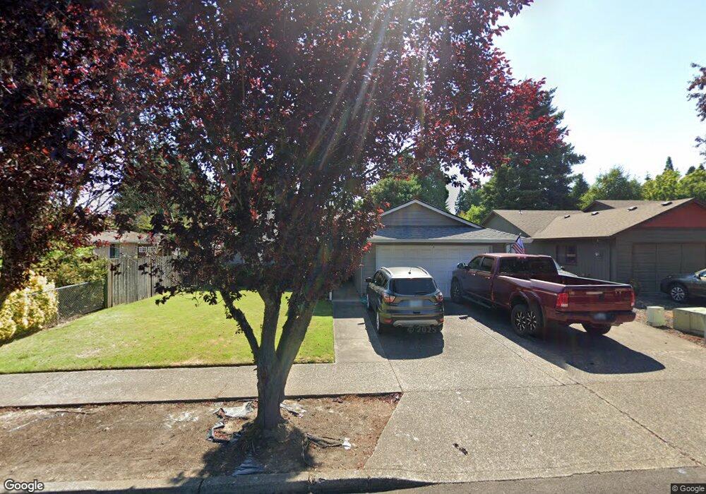
3139 B St Forest Grove, OR 97116
Estimated Value: $432,000 - $522,000
3
Beds
2
Baths
1,212
Sq Ft
$384/Sq Ft
Est. Value
About This Home
This home is located at 3139 B St, Forest Grove, OR 97116 and is currently estimated at $465,374, approximately $383 per square foot. 3139 B St is a home located in Washington County with nearby schools including Harvey Clarke Elementary School, Tom McCall Upper Elementary School, and Neil Armstrong Middle School.
Ownership History
Date
Name
Owned For
Owner Type
Purchase Details
Closed on
Jun 26, 1996
Sold by
Desirey James H
Bought by
Whitton James D and Whitton Bev G
Current Estimated Value
Home Financials for this Owner
Home Financials are based on the most recent Mortgage that was taken out on this home.
Original Mortgage
$110,675
Outstanding Balance
$6,358
Interest Rate
8.09%
Estimated Equity
$459,016
Create a Home Valuation Report for This Property
The Home Valuation Report is an in-depth analysis detailing your home's value as well as a comparison with similar homes in the area
Home Values in the Area
Average Home Value in this Area
Purchase History
| Date | Buyer | Sale Price | Title Company |
|---|---|---|---|
| Whitton James D | $116,500 | Chicago Title |
Source: Public Records
Mortgage History
| Date | Status | Borrower | Loan Amount |
|---|---|---|---|
| Open | Whitton James D | $110,675 |
Source: Public Records
Tax History Compared to Growth
Tax History
| Year | Tax Paid | Tax Assessment Tax Assessment Total Assessment is a certain percentage of the fair market value that is determined by local assessors to be the total taxable value of land and additions on the property. | Land | Improvement |
|---|---|---|---|---|
| 2026 | $3,969 | $222,870 | -- | -- |
| 2025 | $3,969 | $216,380 | -- | -- |
| 2024 | $3,829 | $210,080 | -- | -- |
| 2023 | $3,829 | $203,970 | $0 | $0 |
| 2022 | $3,348 | $203,970 | $0 | $0 |
| 2021 | $3,305 | $192,270 | $0 | $0 |
| 2020 | $3,287 | $186,670 | $0 | $0 |
| 2019 | $3,214 | $181,240 | $0 | $0 |
| 2018 | $3,115 | $175,970 | $0 | $0 |
| 2017 | $3,019 | $170,850 | $0 | $0 |
| 2016 | $2,934 | $165,880 | $0 | $0 |
| 2015 | $2,821 | $161,050 | $0 | $0 |
| 2014 | $2,808 | $156,360 | $0 | $0 |
Source: Public Records
Map
Nearby Homes
- 3300 N Main St Unit 110
- 1425 Willamina Ave
- 2106 Charlie Ct
- 1815 35th Ave
- 1224 Alyssum Ave
- 3522 Arleen Ct
- 1611 Camino Dr
- 1609 Camino Dr
- 2180 36th Ave
- 2150 36th Ave
- 2130 36th Ave
- 2120 36th Ave
- 2160 36th Ave
- 2081 Silverstone Dr
- 2117 36th Ave Unit Lot 64
- 2133 36th Ave Unit Lot 62
- 3594 Ash St Unit Lot 25
- 2035 35th Ave
- 2043 35th Ave
- 3605 Main St