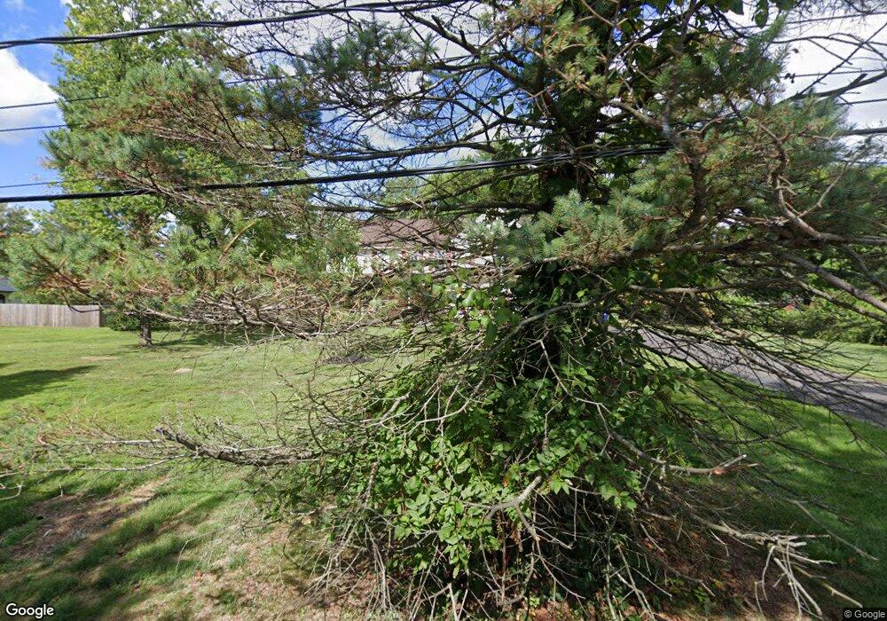
3139 Paul Ave Dresher, PA 19025
Estimated Value: $653,000 - $898,000
4
Beds
3
Baths
3,174
Sq Ft
$254/Sq Ft
Est. Value
About This Home
This home is located at 3139 Paul Ave, Dresher, PA 19025 and is currently estimated at $807,650, approximately $254 per square foot. 3139 Paul Ave is a home located in Montgomery County with nearby schools including Thomas Fitzwater Elementary School, Sandy Run Middle School, and Upper Dublin High School.
Ownership History
Date
Name
Owned For
Owner Type
Purchase Details
Closed on
Mar 25, 1999
Sold by
De Santis Development Corp
Bought by
Engel Elliott D
Current Estimated Value
Purchase Details
Closed on
Jul 1, 1998
Sold by
Dougherty Joseph J and Dougherty Louise J
Bought by
Desantis Development Corp
Purchase Details
Closed on
Dec 5, 1997
Sold by
Fisicaro Marie A
Bought by
Dougherty Joseph J and Dougherty Louise J
Purchase Details
Closed on
Oct 4, 1995
Sold by
Fisicaro Marie A and Fisicaro Paula
Bought by
Fisicaro Marie A
Create a Home Valuation Report for This Property
The Home Valuation Report is an in-depth analysis detailing your home's value as well as a comparison with similar homes in the area
Home Values in the Area
Average Home Value in this Area
Purchase History
| Date | Buyer | Sale Price | Title Company |
|---|---|---|---|
| Engel Elliott D | $282,000 | -- | |
| Desantis Development Corp | $80,000 | Conestoga Berks Title | |
| Dougherty Joseph J | $87,000 | -- | |
| Fisicaro Marie A | -- | -- |
Source: Public Records
Tax History Compared to Growth
Tax History
| Year | Tax Paid | Tax Assessment Tax Assessment Total Assessment is a certain percentage of the fair market value that is determined by local assessors to be the total taxable value of land and additions on the property. | Land | Improvement |
|---|---|---|---|---|
| 2025 | $13,100 | $268,620 | $58,600 | $210,020 |
| 2024 | $13,100 | $268,620 | $58,600 | $210,020 |
| 2023 | $12,794 | $268,620 | $58,600 | $210,020 |
| 2022 | $12,515 | $268,620 | $58,600 | $210,020 |
| 2021 | $12,203 | $268,620 | $58,600 | $210,020 |
| 2020 | $11,850 | $268,620 | $58,600 | $210,020 |
| 2019 | $11,652 | $268,620 | $58,600 | $210,020 |
| 2018 | $11,652 | $268,620 | $58,600 | $210,020 |
| 2017 | $11,227 | $268,620 | $58,600 | $210,020 |
| 2016 | $11,123 | $268,620 | $58,600 | $210,020 |
| 2015 | $10,506 | $268,620 | $58,600 | $210,020 |
| 2014 | $10,506 | $268,620 | $58,600 | $210,020 |
Source: Public Records
Map
Nearby Homes
- 3159 Burn Brae Dr
- 1371 Fitzwatertown Rd
- 2962 Grisdale Rd
- 2949 Grisdale Rd
- 1151 Fitzwatertown Rd
- 1514 N Hills Ave
- 2866 Joyce Rd
- 2920 Rossiter Ave
- 1521 Coulon Rd
- 2881 Thunderhead Rd
- 2933 Susquehanna Rd
- 2959 Madison Ave
- 2951 Madison Ave
- 2817 Anzac Ave
- 1438 Doris Rd
- 229 Brookdale Ct
- 1453 Doris Rd
- 2812 Meyer Ave
- 2721 Rossiter Ave
- 804 Redgate Rd
- 3145 Paul Ave
- 1315 Dundee Dr
- 3155 Burn Brae Dr
- 3151 Burn Brae Dr
- 1321 Dundee Dr
- 3147 Burn Brae Dr
- 3143 Burn Brae Dr
- 3150 Burn Brae Dr
- 3156 Burn Brae Dr
- 1327 Dundee Dr
- 1300 Dundee Dr
- 3139 Burn Brae Dr
- 3146 Burn Brae Dr
- 1310 Dundee Dr
- 1316 Dundee Dr
- 1322 Dundee Dr
- 3135 Burn Brae Dr
- 3140 Burn Brae Dr
- 3204 Burn Brae Dr
- 1247 Dundee Dr
