314 Coles Campground Rd Murray, KY 42071
Estimated Value: $255,000 - $368,000
--
Bed
--
Bath
1,804
Sq Ft
$173/Sq Ft
Est. Value
About This Home
This home is located at 314 Coles Campground Rd, Murray, KY 42071 and is currently estimated at $312,944, approximately $173 per square foot. 314 Coles Campground Rd is a home located in Calloway County with nearby schools including North Calloway Elementary School, Calloway County Middle School, and Calloway County High School.
Ownership History
Date
Name
Owned For
Owner Type
Purchase Details
Closed on
Dec 31, 2020
Sold by
Pigg Cathy C
Bought by
Grogan Jeremy Paul and Grogan Bridgette Lynne
Current Estimated Value
Purchase Details
Closed on
May 22, 2020
Sold by
Spence Investments Llc
Bought by
Perry Jason Paul and Perry April Allen
Home Financials for this Owner
Home Financials are based on the most recent Mortgage that was taken out on this home.
Original Mortgage
$107,200
Interest Rate
3.3%
Mortgage Type
Future Advance Clause Open End Mortgage
Purchase Details
Closed on
Jun 10, 2009
Sold by
Chastain Sue Ellen and Chastain John
Bought by
Grogan Jeremy and Grogan Bridgettte
Home Financials for this Owner
Home Financials are based on the most recent Mortgage that was taken out on this home.
Original Mortgage
$176,000
Interest Rate
4.77%
Mortgage Type
New Conventional
Create a Home Valuation Report for This Property
The Home Valuation Report is an in-depth analysis detailing your home's value as well as a comparison with similar homes in the area
Home Values in the Area
Average Home Value in this Area
Purchase History
| Date | Buyer | Sale Price | Title Company |
|---|---|---|---|
| Grogan Jeremy Paul | $4,000 | None Available | |
| Perry Jason Paul | $134,000 | None Available | |
| Grogan Jeremy | $220,000 | None Available |
Source: Public Records
Mortgage History
| Date | Status | Borrower | Loan Amount |
|---|---|---|---|
| Previous Owner | Perry Jason Paul | $107,200 | |
| Previous Owner | Grogan Jeremy | $176,000 |
Source: Public Records
Tax History Compared to Growth
Tax History
| Year | Tax Paid | Tax Assessment Tax Assessment Total Assessment is a certain percentage of the fair market value that is determined by local assessors to be the total taxable value of land and additions on the property. | Land | Improvement |
|---|---|---|---|---|
| 2024 | $2,251 | $255,000 | $0 | $0 |
| 2023 | $2,317 | $255,000 | $0 | $0 |
| 2022 | $2,363 | $255,000 | $0 | $0 |
| 2021 | $2,409 | $255,000 | $0 | $0 |
| 2020 | $2,372 | $255,000 | $0 | $0 |
| 2019 | $2,338 | $255,000 | $0 | $0 |
| 2018 | $2,265 | $255,000 | $0 | $0 |
| 2017 | $1,899 | $220,000 | $0 | $0 |
| 2016 | $1,879 | $220,000 | $0 | $0 |
| 2015 | $1,729 | $220,000 | $0 | $0 |
| 2011 | $1,729 | $220,000 | $0 | $0 |
Source: Public Records
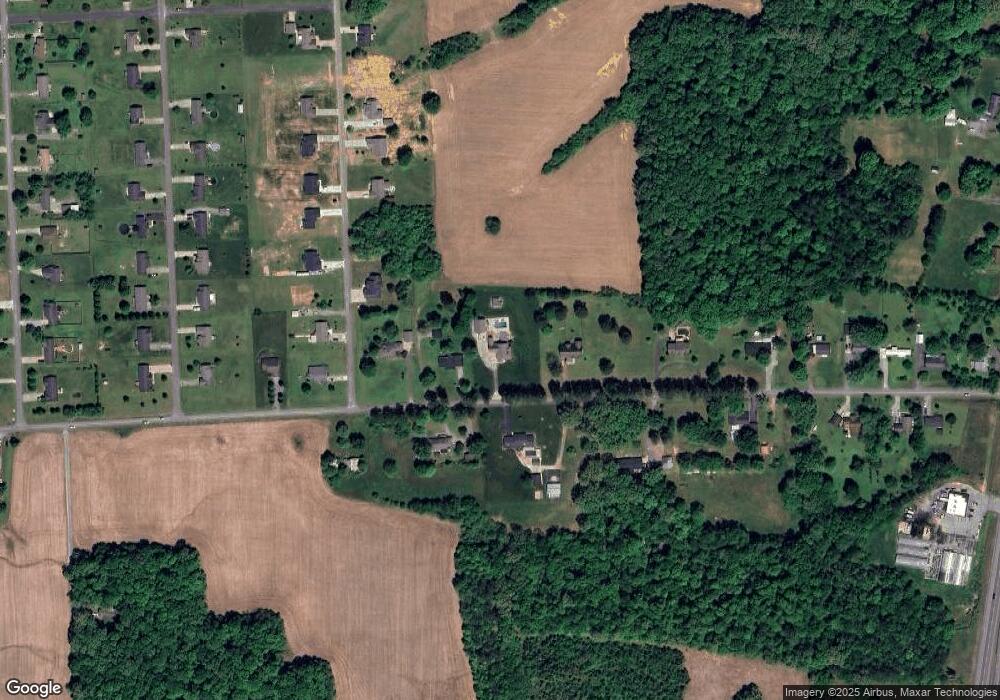
Map
Nearby Homes
- 202 John Purdom Dr
- 0 U S 641 N
- Lot 17 Jordyn Bailey Rd
- 000 North Dr
- 206 Metcalf Ln
- 0000 Brinn Rd
- 363 Grant Rd
- 1515 Boggess Dr
- 1087 Poor Farm Rd
- 1783 Radio Rd
- 00 N 16th St
- 1536 Almo Rd
- 1612 N 16th St
- 000 Spring Rd
- 906 Southwood Dr
- 1005 Southwood Dr
- 2809 W Fork Rd
- 000 Keepers Way Unit Tract A
- 000 Keepers Way
- 445 John Purdom Dr
- 355 Coles Campground Rd
- 276 Coles Campground Rd
- 303 Coles Campground Rd
- 382 Coles Campground Rd
- 9 John Purdom Dr Unit Purdom Estates Unit
- 35 John Purdom Dr Unit Purdom Estates Unit
- 241 Coles Campground Rd
- 208 Coles Campground Rd
- 47 John Purdom Dr Unit Almo
- 47 John Purdom Dr
- 164 Coles Campground Rd
- 171 Coles Campground Rd
- 105 Coles Campground Rd
- 44 Washington Dr
- 114 Coles Campground Rd
- 116 Washington Dr
- 70 Washington Dr
- 26 Washington Dr
- 21 Washington Dr
- 47 Washington Dr