314 Wolf Creek Ranch Dr Bigfork, MT 59911
Estimated Value: $1,065,000 - $1,892,000
3
Beds
2
Baths
2,461
Sq Ft
$534/Sq Ft
Est. Value
About This Home
This home is located at 314 Wolf Creek Ranch Dr, Bigfork, MT 59911 and is currently estimated at $1,313,128, approximately $533 per square foot. 314 Wolf Creek Ranch Dr is a home located in Flathead County with nearby schools including Swan River Elementary School, Swan River Junior High School, and Bigfork High School.
Ownership History
Date
Name
Owned For
Owner Type
Purchase Details
Closed on
Jan 20, 2023
Sold by
Wisman & Dahlberg Family Revocable Livin
Bought by
Wisman Curtis R and Dahlberg Amy E
Current Estimated Value
Purchase Details
Closed on
May 16, 2022
Sold by
Wisman Curtis R and Dahlberg Amy
Bought by
Wisman & Dahlberg Family Revocable Living Tru and Wisman
Purchase Details
Closed on
Jan 19, 2017
Sold by
Tanner Todd S and Mccabe Molly J
Bought by
Wisman Curtis R and Dahlberg Amy
Home Financials for this Owner
Home Financials are based on the most recent Mortgage that was taken out on this home.
Original Mortgage
$151,000
Interest Rate
4.49%
Mortgage Type
Adjustable Rate Mortgage/ARM
Purchase Details
Closed on
Feb 27, 2006
Sold by
Poest Cynthia Elizabeth Vander
Bought by
Tammer Todd S and Mccabe Molly J
Create a Home Valuation Report for This Property
The Home Valuation Report is an in-depth analysis detailing your home's value as well as a comparison with similar homes in the area
Purchase History
| Date | Buyer | Sale Price | Title Company |
|---|---|---|---|
| Wisman Curtis R | -- | -- | |
| Wisman & Dahlberg Family Revocable Living Tru | -- | None Listed On Document | |
| Wisman Curtis R | -- | Insured Titles | |
| Tammer Todd S | -- | None Available |
Source: Public Records
Mortgage History
| Date | Status | Borrower | Loan Amount |
|---|---|---|---|
| Previous Owner | Wisman Curtis R | $151,000 |
Source: Public Records
Tax History
| Year | Tax Paid | Tax Assessment Tax Assessment Total Assessment is a certain percentage of the fair market value that is determined by local assessors to be the total taxable value of land and additions on the property. | Land | Improvement |
|---|---|---|---|---|
| 2025 | $3,489 | $1,071,800 | $0 | $0 |
| 2024 | $1,578 | $338,620 | $0 | $0 |
| 2023 | $1,589 | $338,620 | $0 | $0 |
| 2022 | $1,310 | $207,092 | $0 | $0 |
| 2021 | $1,359 | $207,092 | $0 | $0 |
| 2020 | $1,392 | $204,595 | $0 | $0 |
| 2019 | $1,351 | $204,595 | $0 | $0 |
| 2018 | $1,307 | $187,489 | $0 | $0 |
| 2017 | $1,302 | $187,489 | $0 | $0 |
| 2016 | $35 | $5,681 | $0 | $0 |
| 2015 | $34 | $5,681 | $0 | $0 |
| 2014 | $45 | $8,969 | $0 | $0 |
Source: Public Records
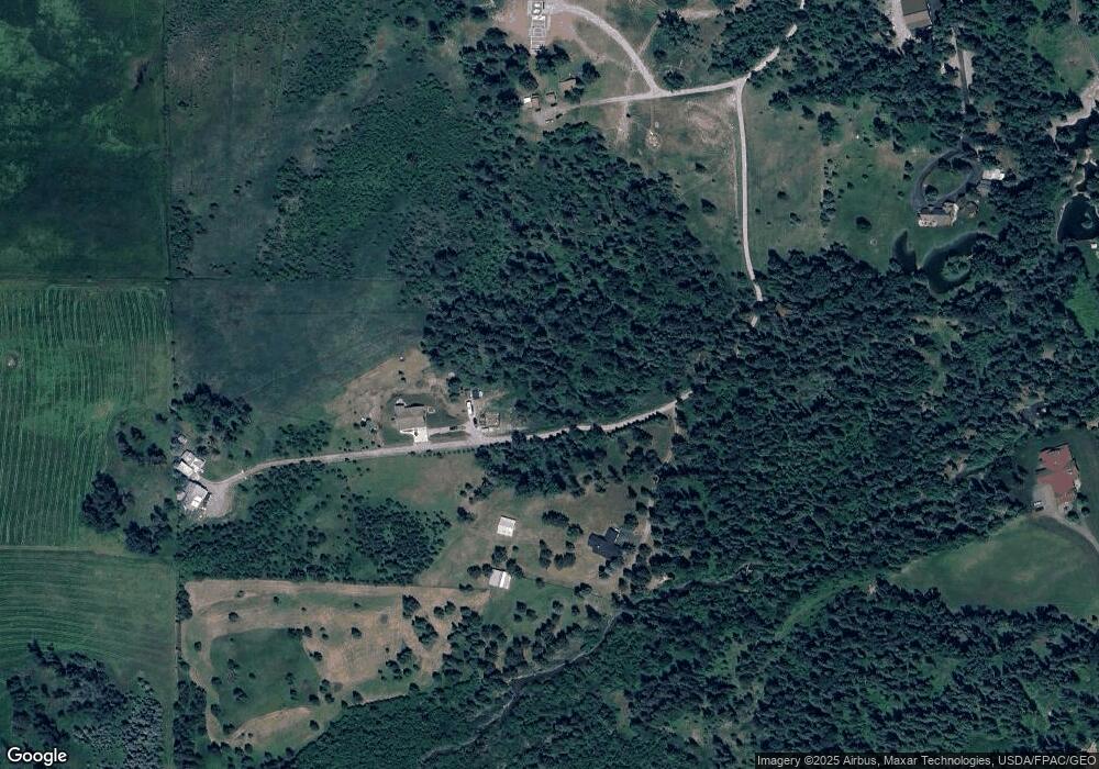
Map
Nearby Homes
- #30 Bear Creek Village
- 30 Big Cedar
- 639 Three Eagle Ln
- 518 Eastman Dr
- 895 Mud Lake Rd
- 280 Shady Ln
- 172 Swanlea Rd S
- 305 Ferndale Dr Unit 41&42
- 305 Ferndale Dr Unit 42
- 305 Ferndale Dr Unit 41
- 541 Alpine Dr
- 72 Pilots Trail
- 260 Black Bear Ln
- 115 Ferndale Dr
- 1150 Swan Hill Dr
- 29545 Drifting Way
- 350 and 270 Old Paint Trail
- 1844 Echo Cabin Loop
- 350 Old Paint Trail
- Nhn Swan Hill Dr
- 314 Wolf Creek Dr
- 314 Wolf Creek Ranch Road Bigfork
- 314 Wolf Creek Ranch Rd
- NHN Wolf Creek Ranch Rd
- 271 Wolf Creek Ranch Dr
- 356 Wolf Creek Dr
- 2124 Swan Hwy
- 2140 Swan Hwy
- 2140 Mt Highway 83
- 2100 Swan Hwy
- 2188 Swan Hwy
- 2108 Swan Hwy
- 2116 Swan Hwy
- 2108 Highway 83
- 2180 Montana 83
- 2180 Mt Highway 83
- 2180 Swan Hwy
- 2196 Swan Hwy
- 2051 Swan Hwy
- 425 Wolf Creek Dr
Your Personal Tour Guide
Ask me questions while you tour the home.