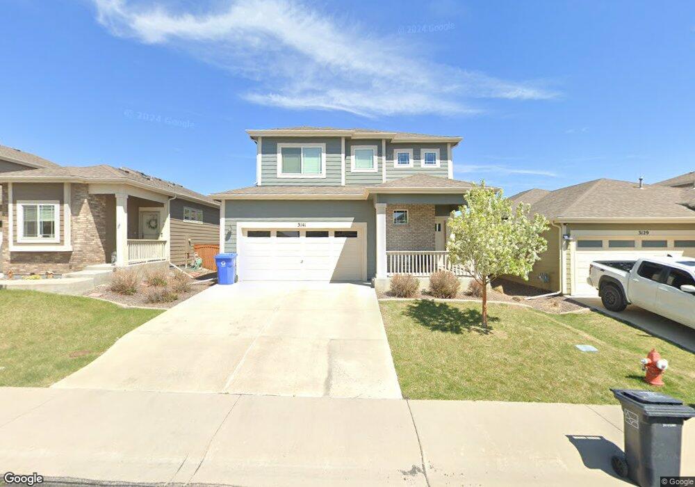
3141 Benfold St Loveland, CO 80538
Estimated Value: $513,000 - $537,000
3
Beds
4
Baths
1,846
Sq Ft
$283/Sq Ft
Est. Value
About This Home
This home is located at 3141 Benfold St, Loveland, CO 80538 and is currently estimated at $523,235, approximately $283 per square foot. 3141 Benfold St is a home with nearby schools including Ponderosa Elementary School, Lucile Erwin Middle School, and Loveland High School.
Ownership History
Date
Name
Owned For
Owner Type
Purchase Details
Closed on
Mar 10, 2025
Sold by
Curry Jamaal M and Curry Jill L
Bought by
Curry Jamaal M and Curry Jill L
Current Estimated Value
Purchase Details
Closed on
Oct 9, 2015
Sold by
Hartford Homes At Enchantment Ridge Llc
Bought by
Curry Jamaal M and Curry Jill L
Home Financials for this Owner
Home Financials are based on the most recent Mortgage that was taken out on this home.
Original Mortgage
$269,385
Interest Rate
3.75%
Mortgage Type
FHA
Create a Home Valuation Report for This Property
The Home Valuation Report is an in-depth analysis detailing your home's value as well as a comparison with similar homes in the area
Home Values in the Area
Average Home Value in this Area
Purchase History
| Date | Buyer | Sale Price | Title Company |
|---|---|---|---|
| Curry Jamaal M | -- | None Listed On Document | |
| Curry Jamaal M | $274,355 | Land Title Guarantee |
Source: Public Records
Mortgage History
| Date | Status | Borrower | Loan Amount |
|---|---|---|---|
| Previous Owner | Curry Jamaal M | $269,385 |
Source: Public Records
Tax History Compared to Growth
Tax History
| Year | Tax Paid | Tax Assessment Tax Assessment Total Assessment is a certain percentage of the fair market value that is determined by local assessors to be the total taxable value of land and additions on the property. | Land | Improvement |
|---|---|---|---|---|
| 2025 | $2,440 | $34,264 | $8,710 | $25,554 |
| 2024 | $2,354 | $34,264 | $8,710 | $25,554 |
| 2022 | $2,035 | $25,569 | $5,602 | $19,967 |
| 2021 | $2,091 | $26,305 | $5,763 | $20,542 |
| 2020 | $1,982 | $24,925 | $5,763 | $19,162 |
| 2019 | $1,948 | $24,925 | $5,763 | $19,162 |
| 2018 | $1,829 | $22,226 | $5,803 | $16,423 |
| 2017 | $1,575 | $22,226 | $5,803 | $16,423 |
| 2016 | $1,474 | $20,091 | $4,776 | $15,315 |
| 2015 | $570 | $7,830 | $7,830 | $0 |
| 2014 | $157 | $2,090 | $2,090 | $0 |
Source: Public Records
Map
Nearby Homes
- 3007 Benfold St
- 3017 Thorn Cir
- 2960 Kincaid Dr Unit 303
- 2958 Donatello St
- 4705 Whistler Dr
- 3384 Foster Place
- 4711 Whistler Dr
- 3389 Hewitt St
- 3115 Da Vinci Dr
- 4719 Degas Dr
- 4725 Degas Dr
- 3238 Picasso Dr
- 4733 Degas Dr
- 4745 Degas Dr
- 4106 Cripple Creek Dr
- The Delta Plan at Wilson Commons - Detached Single Family Homes
- The Holyoke Plan at Wilson Commons - Detached Single Family Homes
- The Avondale Plan at Wilson Commons - Detached Single Family Homes
- The Hinsdale Plan at Wilson Commons - Paired Attached Homes
- The Briggsdale II Plan at Wilson Commons - Detached Single Family Homes
- 3153 Benfold St
- 3129 Benfold St
- 3165 Benfold St
- 3117 Benfold St
- 3105 Benfold St
- 3132 Benfold St
- 3130 Carney St
- 3146 Benfold St
- 3118 Benfold St
- 3142 Carney St
- 3154 Carney St
- 3166 Carney St
- 3160 Benfold St
- 3093 Benfold St
- 3118 Carney St
- 3090 Benfold St
- 3174 Benfold St
- 3106 Carney St
- 3178 Carney St
- 4425 Deyo Place