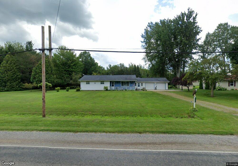
3142 Curtis Rd Birch Run, MI 48415
Estimated Value: $176,000 - $227,000
3
Beds
2
Baths
1,464
Sq Ft
$142/Sq Ft
Est. Value
About This Home
This home is located at 3142 Curtis Rd, Birch Run, MI 48415 and is currently estimated at $207,353, approximately $141 per square foot. 3142 Curtis Rd is a home located in Saginaw County with nearby schools including Thomas White School, Martin G. Atkins Elementary School, and Bridgeport-Spaulding Middle School - Martin G. Atkins.
Ownership History
Date
Name
Owned For
Owner Type
Purchase Details
Closed on
Oct 27, 2023
Sold by
Stolz Carolyn J and Pawlanta Kimberly
Bought by
Greer Joshua and Greer Alexandria
Current Estimated Value
Purchase Details
Closed on
Apr 16, 2021
Sold by
Haselhuhn Bernice H
Bought by
Pawlanta Kimberly and Stolz George
Home Financials for this Owner
Home Financials are based on the most recent Mortgage that was taken out on this home.
Original Mortgage
$100,800
Outstanding Balance
$91,083
Interest Rate
3.05%
Mortgage Type
New Conventional
Estimated Equity
$116,270
Purchase Details
Closed on
Jul 10, 2008
Sold by
Haselhuhn Daniel and Haselhuhn Kathleen
Bought by
Haselhuhn Bernice H
Purchase Details
Closed on
Jul 7, 2008
Sold by
Huntoon C Fka Whitaker C
Bought by
Haselhuhn Bernice H
Create a Home Valuation Report for This Property
The Home Valuation Report is an in-depth analysis detailing your home's value as well as a comparison with similar homes in the area
Purchase History
| Date | Buyer | Sale Price | Title Company |
|---|---|---|---|
| Greer Joshua | $97,000 | None Listed On Document | |
| Pawlanta Kimberly | $126,000 | First American Title | |
| Haselhuhn Bernice H | -- | -- | |
| Haselhuhn Bernice H | -- | -- |
Source: Public Records
Mortgage History
| Date | Status | Borrower | Loan Amount |
|---|---|---|---|
| Open | Pawlanta Kimberly | $100,800 |
Source: Public Records
Tax History
| Year | Tax Paid | Tax Assessment Tax Assessment Total Assessment is a certain percentage of the fair market value that is determined by local assessors to be the total taxable value of land and additions on the property. | Land | Improvement |
|---|---|---|---|---|
| 2025 | $923 | $89,500 | $0 | $0 |
| 2024 | $896 | $87,400 | $0 | $0 |
| 2023 | $794 | $76,000 | $0 | $0 |
| 2022 | $2,662 | $69,000 | $0 | $0 |
| 2021 | $1,732 | $61,300 | $0 | $0 |
| 2020 | $1,599 | $56,400 | $0 | $0 |
| 2019 | $1,518 | $53,100 | $6,800 | $46,300 |
| 2018 | $459 | $52,600 | $0 | $0 |
| 2017 | $1,374 | $48,100 | $0 | $0 |
| 2016 | $1,486 | $49,000 | $0 | $0 |
| 2014 | -- | $43,000 | $0 | $37,000 |
| 2013 | -- | $42,800 | $0 | $0 |
Source: Public Records
Map
Nearby Homes
- 3241 Curtis Rd
- 2921 Curtis Rd
- 6665 Bell Rd
- 6580 Bell Rd
- VL Fort Rd
- 3937 Curtis Rd
- 4333 Riverview Dr
- 1855 Hastings St
- 7863 Sheridan Rd Lot #2 Rd
- 7863 Sheridan Rd Lot 4 Rd
- 1160 E Moore Rd
- 6412 Tin Lizzy Ln
- 7720 Rookway Rd
- 6250 Dixie Hwy
- 6605 Bridgeport Hwy
- 3838 Sherman St
- 1321 Ruby Ann Dr
- Parcel E W Rolling Hills Dr
- Parcel B W Rolling Hills Dr
- Parcel D W Rolling Hills Dr
Your Personal Tour Guide
Ask me questions while you tour the home.