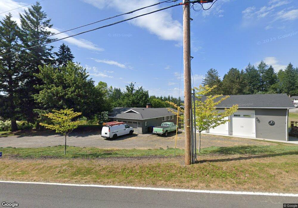
31439 SE Division Dr Troutdale, OR 97060
Sandy River NeighborhoodEstimated Value: $664,000 - $890,000
5
Beds
3
Baths
1,512
Sq Ft
$515/Sq Ft
Est. Value
About This Home
This home is located at 31439 SE Division Dr, Troutdale, OR 97060 and is currently estimated at $778,572, approximately $514 per square foot. 31439 SE Division Dr is a home located in Multnomah County with nearby schools including East Orient Elementary School, West Orient Middle School, and Sam Barlow High School.
Ownership History
Date
Name
Owned For
Owner Type
Purchase Details
Closed on
Dec 15, 2006
Sold by
Schoepper Greg A and Schoepper Deborah K
Bought by
Jones Jeffrey and Jones Dawn
Current Estimated Value
Home Financials for this Owner
Home Financials are based on the most recent Mortgage that was taken out on this home.
Original Mortgage
$270,000
Outstanding Balance
$161,606
Interest Rate
6.33%
Mortgage Type
Purchase Money Mortgage
Estimated Equity
$616,966
Create a Home Valuation Report for This Property
The Home Valuation Report is an in-depth analysis detailing your home's value as well as a comparison with similar homes in the area
Home Values in the Area
Average Home Value in this Area
Purchase History
| Date | Buyer | Sale Price | Title Company |
|---|---|---|---|
| Jones Jeffrey | $360,000 | First American Title Insuran |
Source: Public Records
Mortgage History
| Date | Status | Borrower | Loan Amount |
|---|---|---|---|
| Open | Jones Jeffrey | $270,000 |
Source: Public Records
Tax History Compared to Growth
Tax History
| Year | Tax Paid | Tax Assessment Tax Assessment Total Assessment is a certain percentage of the fair market value that is determined by local assessors to be the total taxable value of land and additions on the property. | Land | Improvement |
|---|---|---|---|---|
| 2024 | $8,280 | $442,450 | -- | -- |
| 2023 | $8,098 | $429,570 | $0 | $0 |
| 2022 | $7,892 | $417,060 | $0 | $0 |
| 2021 | $7,679 | $404,921 | $0 | $0 |
| 2020 | $7,058 | $383,956 | $0 | $0 |
| 2019 | $6,487 | $351,490 | $0 | $0 |
| 2018 | $6,184 | $341,260 | $0 | $0 |
| 2017 | $5,943 | $331,330 | $0 | $0 |
| 2016 | $5,241 | $321,680 | $0 | $0 |
| 2015 | $5,126 | $312,320 | $0 | $0 |
| 2014 | $5,014 | $303,230 | $0 | $0 |
Source: Public Records
Map
Nearby Homes
- 31330 SE Victory Rd
- 32314 SE Oxbow Dr
- 3633 SE Oxbow Pkwy
- 31563 SE Lusted Rd
- 28467 SE Kw Anderson Rd
- 28421 SE Lusted Rd
- 4503 SE 282nd Ave
- 6179 SE 15th St
- 31827 SE Grace St
- 6120 SE 15th St
- 6114 SE 15th St
- 1439 SE Pheasant Ave
- 6108 SE 15th St
- 1451 SE Pheasant Ave
- 6102 SE 15th St
- 1469 SE Pheasant Ave
- 6095 SE 15th St
- 6085 SE 15th St
- 6079 SE 15th St
- 4567 SE 282nd Ave
- 31515 SE Division Dr
- 31422 SE Division Dr
- 31332 SE Division Dr
- 31541 SE Division Dr
- 3621 SE 317th Ave
- 31631 SE Division Dr
- 31604 SE Division Dr
- 31216 SE Division Dr
- 31117 SE Division Dr
- 31132 SE Division Dr
- 31201 SE Division Dr
- 31310 SE Division Dr
- 31443 SE Division Dr
- 31174 SE Division Dr
- 3514 SE 317th Ave
- 31109 SE Division Dr
- 3600 SE 317th Ave
- 31090 SE Division Dr
- 3745 SE 317th Ave