
$350,000
- 3 Beds
- 2.5 Baths
- 2,169 Sq Ft
- 535 Westwynd Cir
- Wilmington, OH
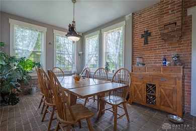
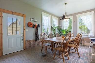
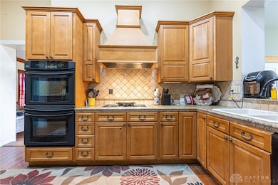
Imagine hosting unforgettable gatherings in this stunning backyard, perfect for family fun and entertaining friends! It's pool party and barbecue season, and this home is ready to be the heart of your summer memories. Lovingly maintained by the same family for many years, this spacious 3-4 bedroom, 2.5 bath two-story home sits on an oversized cul-de-sac lot and features an in-ground swimming
LeaAnn Taylor Coldwell Banker Heritage