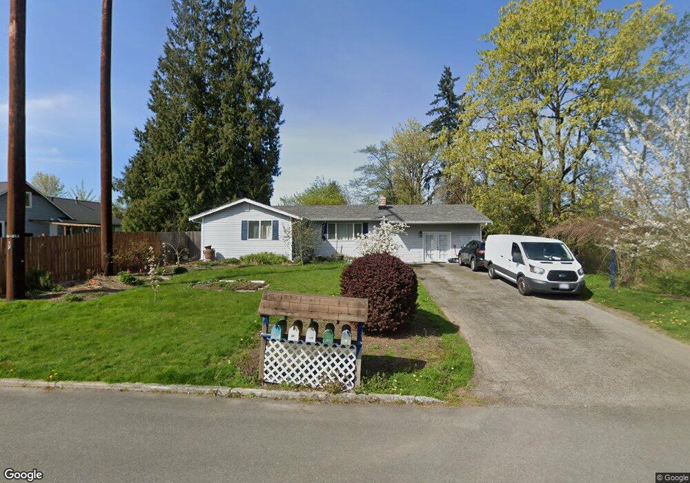
315 212th St SW Bothell, WA 98021
Queensborough-Brentwood NeighborhoodEstimated Value: $701,305 - $827,000
3
Beds
1
Bath
1,456
Sq Ft
$517/Sq Ft
Est. Value
About This Home
This home is located at 315 212th St SW, Bothell, WA 98021 and is currently estimated at $752,076, approximately $516 per square foot. 315 212th St SW is a home located in Snohomish County with nearby schools including Hilltop Elementary School, Brier Terrace Middle School, and Mountlake Terrace High School.
Ownership History
Date
Name
Owned For
Owner Type
Purchase Details
Closed on
Oct 26, 2002
Sold by
Baird Howard J and Baird Sharon
Bought by
Vizer Gregory L and Parra Gonzalez Alvaro
Current Estimated Value
Home Financials for this Owner
Home Financials are based on the most recent Mortgage that was taken out on this home.
Original Mortgage
$199,863
Outstanding Balance
$78,790
Interest Rate
5.99%
Mortgage Type
FHA
Estimated Equity
$673,286
Create a Home Valuation Report for This Property
The Home Valuation Report is an in-depth analysis detailing your home's value as well as a comparison with similar homes in the area
Home Values in the Area
Average Home Value in this Area
Purchase History
| Date | Buyer | Sale Price | Title Company |
|---|---|---|---|
| Vizer Gregory L | $203,000 | Transnation Title Insurance |
Source: Public Records
Mortgage History
| Date | Status | Borrower | Loan Amount |
|---|---|---|---|
| Open | Vizer Gregory L | $199,863 |
Source: Public Records
Tax History
| Year | Tax Paid | Tax Assessment Tax Assessment Total Assessment is a certain percentage of the fair market value that is determined by local assessors to be the total taxable value of land and additions on the property. | Land | Improvement |
|---|---|---|---|---|
| 2026 | $4,935 | $660,700 | $500,700 | $160,000 |
| 2025 | $4,814 | $592,700 | $437,000 | $155,700 |
| 2024 | $4,814 | $576,000 | $418,000 | $158,000 |
| 2023 | $5,372 | $674,600 | $493,100 | $181,500 |
| 2022 | $4,885 | $498,800 | $344,900 | $153,900 |
| 2020 | $4,837 | $436,400 | $301,200 | $135,200 |
| 2019 | $4,314 | $386,500 | $251,800 | $134,700 |
| 2018 | $4,349 | $343,500 | $223,300 | $120,200 |
| 2017 | $3,521 | $286,700 | $175,800 | $110,900 |
| 2016 | $3,246 | $264,800 | $156,800 | $108,000 |
| 2015 | $3,333 | $258,800 | $147,300 | $111,500 |
| 2013 | $2,832 | $207,900 | $120,700 | $87,200 |
Source: Public Records
Map
Nearby Homes
- 215 Hubbard Rd
- 604 213th St SW
- 21120 Meridian Place W
- 20912 2nd Ave W
- 410 214th St SW Unit B
- 33 213th Place SW
- 422 216th St SW
- 625 215th St SW
- 20911 W Richmond Rd
- 21414 2nd Ave SE
- 624 217th St SW
- 110 204th Place SW
- 423 205th St SW Unit B
- 20733 Elberta Rd
- 1016 207th Place SW
- 21707 2nd Ave SE
- 130 203rd Place SW
- 20327 W Richmond Rd
- 927 217th St SW
- 300 208th St SE
- 21125 4th Ave W
- 21111 4th Ave W
- 21127 4th Dr SE
- 21117 4th Ave W
- 21105 4th Ave W
- 330 212th St SW
- 328 212th St SW
- 21205 4th Ave W
- 21132 4th Dr SE
- 322 212th St SW
- 332 Hubbard Rd
- 21211 4th Ave W
- 21124 4th Ave W
- 316 212th St SW
- 21116 4th Ave W
- 21220 3rd Place W
- 21110 4th Ave W
- 21219 3rd Place W
- 219 212th St SW
- 21100 4th Ave W
Your Personal Tour Guide
Ask me questions while you tour the home.