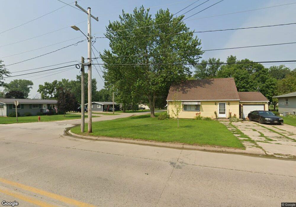
315 6th Ave SW Cresco, IA 52136
Estimated Value: $64,000 - $107,000
1
Bed
1
Bath
624
Sq Ft
$135/Sq Ft
Est. Value
About This Home
This home is located at 315 6th Ave SW, Cresco, IA 52136 and is currently estimated at $84,325, approximately $135 per square foot. 315 6th Ave SW is a home located in Howard County with nearby schools including Crestwood High School and Notre Dame Catholic School.
Ownership History
Date
Name
Owned For
Owner Type
Purchase Details
Closed on
Jun 30, 2019
Sold by
Kortan Logan J and Kortan Angie
Bought by
Broshous Jeanette E
Current Estimated Value
Purchase Details
Closed on
Nov 11, 2014
Sold by
Lingbeck Robert V and Lingbeck Sandra L
Bought by
Kortan Logan J
Home Financials for this Owner
Home Financials are based on the most recent Mortgage that was taken out on this home.
Original Mortgage
$28,500
Interest Rate
3.97%
Mortgage Type
New Conventional
Purchase Details
Closed on
Jun 19, 2006
Sold by
Deneen Hovden Troy and Deneen Hovdeen
Bought by
Hageman Gerald
Create a Home Valuation Report for This Property
The Home Valuation Report is an in-depth analysis detailing your home's value as well as a comparison with similar homes in the area
Home Values in the Area
Average Home Value in this Area
Purchase History
| Date | Buyer | Sale Price | Title Company |
|---|---|---|---|
| Broshous Jeanette E | $34,500 | -- | |
| Kortan Logan J | $30,000 | None Available | |
| Hageman Gerald | $45,000 | None Available |
Source: Public Records
Mortgage History
| Date | Status | Borrower | Loan Amount |
|---|---|---|---|
| Previous Owner | Kortan Logan J | $28,500 |
Source: Public Records
Tax History Compared to Growth
Tax History
| Year | Tax Paid | Tax Assessment Tax Assessment Total Assessment is a certain percentage of the fair market value that is determined by local assessors to be the total taxable value of land and additions on the property. | Land | Improvement |
|---|---|---|---|---|
| 2024 | $854 | $46,340 | $6,600 | $39,740 |
| 2023 | $838 | $46,340 | $6,600 | $39,740 |
| 2022 | $1,022 | $39,080 | $6,600 | $32,480 |
| 2021 | $752 | $39,080 | $6,600 | $32,480 |
| 2020 | $740 | $35,640 | $6,600 | $29,040 |
| 2019 | $720 | $33,540 | $0 | $0 |
| 2018 | $714 | $33,540 | $0 | $0 |
| 2017 | $738 | $33,420 | $0 | $0 |
| 2016 | $742 | $33,420 | $0 | $0 |
| 2015 | $742 | $33,420 | $0 | $0 |
| 2014 | $512 | $33,420 | $0 | $0 |
Source: Public Records
Map
Nearby Homes
- 729 2nd St SW
- 111 4th Ave SW
- 309 Vernon Rd
- 303 3rd St SW Unit Farley
- 418 2nd Ave W
- 511 3rd Ave E
- 113 5th Ave E
- 306 5th Ave W Unit Condo
- 511 2nd St W
- 120 5th Ave E
- 205 6th Ave W
- 530 4th Ave E
- 106 6th Ave W
- 732 N Elm St
- 737 6th St E Unit Nelson
- 211 Royal Oaks Dr
- 1014 Division St
- 6549 Willow Ave
- 0 50th St
- 16267 Yankee Ave