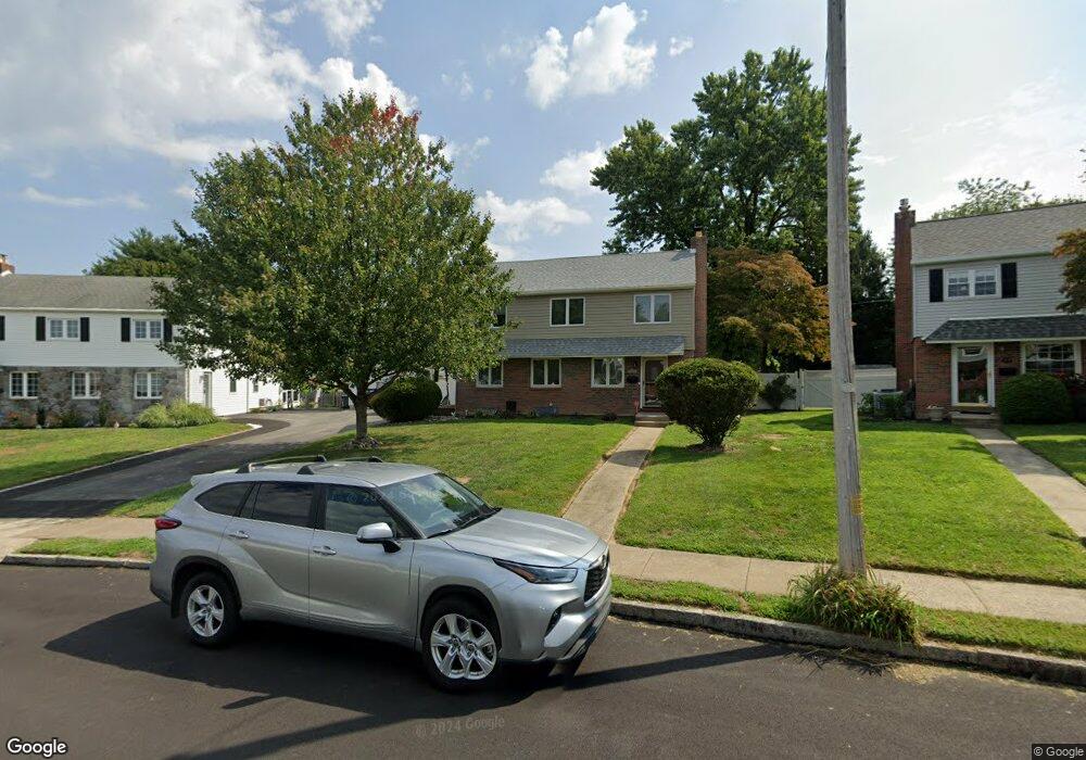
315 Ashwood Rd Springfield, PA 19064
Estimated Value: $443,000 - $506,000
3
Beds
2
Baths
1,546
Sq Ft
$305/Sq Ft
Est. Value
About This Home
This home is located at 315 Ashwood Rd, Springfield, PA 19064 and is currently estimated at $471,419, approximately $304 per square foot. 315 Ashwood Rd is a home located in Delaware County with nearby schools including Springfield High School, St Francis Of Assisi School, and Cardinal O'Hara High School.
Ownership History
Date
Name
Owned For
Owner Type
Purchase Details
Closed on
Apr 29, 2021
Sold by
315 Ashwood Lp
Bought by
Agnew Nicholas Thomas and Agnew Melissa Blanchette
Current Estimated Value
Home Financials for this Owner
Home Financials are based on the most recent Mortgage that was taken out on this home.
Original Mortgage
$285,000
Interest Rate
2.9%
Mortgage Type
New Conventional
Purchase Details
Closed on
Jan 13, 2017
Sold by
Dumont Robert J
Bought by
315 Ashwood Lp
Purchase Details
Closed on
Feb 5, 1999
Sold by
Demoske Jean Tarasi
Bought by
Dumont Robert J
Home Financials for this Owner
Home Financials are based on the most recent Mortgage that was taken out on this home.
Original Mortgage
$92,000
Interest Rate
6.76%
Create a Home Valuation Report for This Property
The Home Valuation Report is an in-depth analysis detailing your home's value as well as a comparison with similar homes in the area
Home Values in the Area
Average Home Value in this Area
Purchase History
| Date | Buyer | Sale Price | Title Company |
|---|---|---|---|
| Agnew Nicholas Thomas | $300,000 | None Available | |
| 315 Ashwood Lp | $275,000 | None Available | |
| Dumont Robert J | $115,000 | Fidelity National Title Ins |
Source: Public Records
Mortgage History
| Date | Status | Borrower | Loan Amount |
|---|---|---|---|
| Previous Owner | Agnew Nicholas Thomas | $285,000 | |
| Previous Owner | Dumont Robert J | $92,000 |
Source: Public Records
Tax History Compared to Growth
Tax History
| Year | Tax Paid | Tax Assessment Tax Assessment Total Assessment is a certain percentage of the fair market value that is determined by local assessors to be the total taxable value of land and additions on the property. | Land | Improvement |
|---|---|---|---|---|
| 2025 | $7,796 | $277,380 | $101,450 | $175,930 |
| 2024 | $7,796 | $277,380 | $101,450 | $175,930 |
| 2023 | $7,507 | $277,380 | $101,450 | $175,930 |
| 2022 | $7,345 | $277,380 | $101,450 | $175,930 |
| 2021 | $11,374 | $277,380 | $101,450 | $175,930 |
| 2020 | $6,054 | $133,610 | $48,780 | $84,830 |
| 2019 | $5,912 | $133,610 | $48,780 | $84,830 |
| 2018 | $5,828 | $133,610 | $0 | $0 |
| 2017 | $5,693 | $133,610 | $0 | $0 |
| 2016 | $733 | $133,610 | $0 | $0 |
| 2015 | $748 | $133,610 | $0 | $0 |
| 2014 | $733 | $133,610 | $0 | $0 |
Source: Public Records
Map
Nearby Homes
- 1366 Nicklaus Dr Unit O125
- 364 S Rolling Rd
- 326 Powell Rd
- 1435 Country Club Dr Unit T215
- 651 N Chester Rd
- 945 Springhaven Rd
- 1008 Lincoln Ave
- 268 Beechwood Rd
- 304 Providence Rd
- 251 Powell Rd
- 240 Beechwood Rd
- 332 Franklin Ave
- 519 Walnut Ln Unit 1
- 224 Ballymore Rd
- 614 Saxer Ave
- 246 Pennington Ave
- 223 Harding Ave
- 306 School St
- 232 S Highland Rd
- 214 Lynbrooke Rd
- 319 Ashwood Rd
- 311 Ashwood Rd
- 528 Sheffield Dr
- 534 Sheffield Dr
- 323 Ashwood Rd
- 522 Sheffield Dr
- 316 Ashwood Rd
- 542 Sheffield Dr
- 539 Maplewood Rd
- 550 Sheffield Dr
- 558 Sheffield Dr
- 533 Maplewood Rd
- 566 Sheffield Dr
- 329 Ashwood Rd
- 551 Maplewood Rd
- 328 Ashwood Rd
- 525 Maplewood Rd
- 557 Maplewood Rd
- 578 Sheffield Dr
- 337 Ashwood Rd