315 Blount Cir Rutledge, TN 37861
Estimated Value: $660,665 - $828,000
--
Bed
1
Bath
2,628
Sq Ft
$284/Sq Ft
Est. Value
About This Home
This home is located at 315 Blount Cir, Rutledge, TN 37861 and is currently estimated at $746,166, approximately $283 per square foot. 315 Blount Cir is a home with nearby schools including Rutledge Primary School, Rutledge Elementary School, and Rutledge Middle School.
Ownership History
Date
Name
Owned For
Owner Type
Purchase Details
Closed on
Feb 24, 2006
Sold by
Becs Llc
Bought by
Collins George W
Current Estimated Value
Home Financials for this Owner
Home Financials are based on the most recent Mortgage that was taken out on this home.
Original Mortgage
$122,390
Interest Rate
6.05%
Mortgage Type
New Conventional
Purchase Details
Closed on
Jun 26, 2003
Bought by
Becs General Partnership
Create a Home Valuation Report for This Property
The Home Valuation Report is an in-depth analysis detailing your home's value as well as a comparison with similar homes in the area
Home Values in the Area
Average Home Value in this Area
Purchase History
| Date | Buyer | Sale Price | Title Company |
|---|---|---|---|
| Collins George W | $325,000 | -- | |
| Becs General Partnership | $2,250,000 | -- |
Source: Public Records
Mortgage History
| Date | Status | Borrower | Loan Amount |
|---|---|---|---|
| Closed | Becs General Partnership | $122,390 |
Source: Public Records
Tax History Compared to Growth
Tax History
| Year | Tax Paid | Tax Assessment Tax Assessment Total Assessment is a certain percentage of the fair market value that is determined by local assessors to be the total taxable value of land and additions on the property. | Land | Improvement |
|---|---|---|---|---|
| 2024 | $2,179 | $92,725 | $16,575 | $76,150 |
| 2023 | $2,179 | $92,725 | $16,575 | $76,150 |
| 2022 | $2,130 | $92,725 | $16,575 | $76,150 |
| 2021 | $2,130 | $92,725 | $16,575 | $76,150 |
| 2020 | $2,052 | $92,725 | $16,575 | $76,150 |
| 2019 | $2,052 | $73,275 | $11,250 | $62,025 |
| 2018 | $1,773 | $73,275 | $11,250 | $62,025 |
| 2017 | $1,773 | $73,275 | $11,250 | $62,025 |
| 2016 | $1,773 | $73,275 | $11,250 | $62,025 |
| 2015 | $1,837 | $73,275 | $11,250 | $62,025 |
| 2014 | $1,837 | $73,475 | $0 | $0 |
Source: Public Records
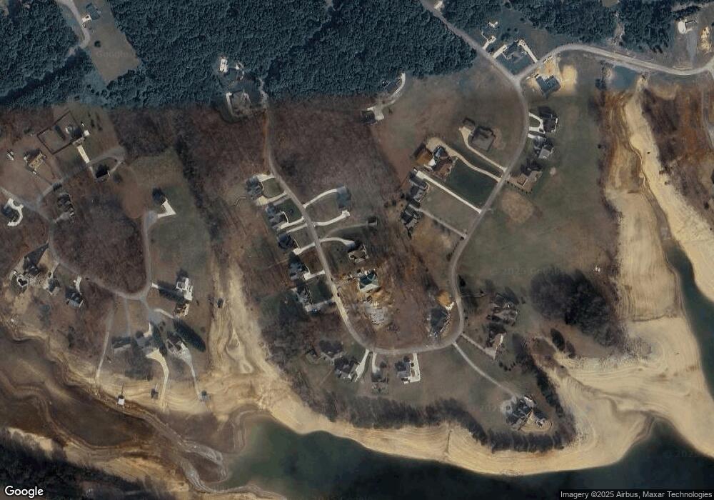
Map
Nearby Homes
- 322 Blount Cir
- 451 Blount Cir
- 248 Cherokee Cove
- 487 Peninsula Pointe
- Lot 2 Cherokee Cove Estates
- 50 Cherokee Cove
- 48 Cherokee Cove
- 1518 Grainger Crossing
- 0 Ostrich Ln Unit 9980166
- 0 Ostrich Ln Unit 1300806
- 0 Ostrich Ln Unit 707569
- 14 Rolling Hills
- 12 Rolling Hills
- 5 Rolling Hills
- Lot 2 Baye Rd
- 199 Chippewa Ln
- 153 Washita Ln
- 235 Chippewa Ln
- 211 Washita Ln
- 213 Washita Ln
- Lot 49 Blount Cir
- 285 Blount Cir
- 527 Blount Cir
- 300 Blount Cir
- Lot 24 Blount Cir
- Lot 18 Blount Cir
- lot 27 Blount Cir
- LOT#60 Blount Cir
- lot 45 Blount Cir
- lot 51 Blount Cir
- Lot 23 Blount Cir
- 547 Blount Cir
- 0 Blount Cir
- 336 Blount Cir
- 0 Bount Cir
- Lot 45 S Grainger Landing
- Lot 36 S Grainger Landing
- Lot 48 Grainger's Landing
- 0 Lot 26 Blount Cir Unit 924855
- Lot 33 Blount Cir