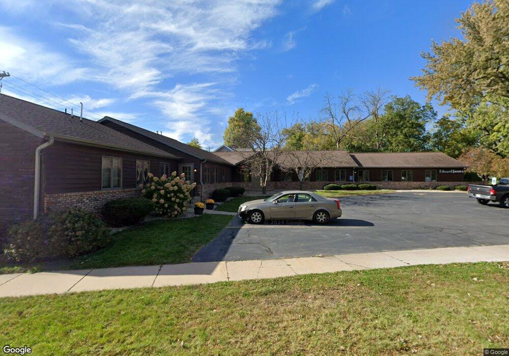
315 Burton Rd New London, WI 54961
Estimated Value: $678,592
--
Bed
--
Bath
--
Sq Ft
0.86
Acres
About This Home
This home is located at 315 Burton Rd, New London, WI 54961 and is currently estimated at $678,592. 315 Burton Rd is a home located in Waupaca County with nearby schools including Lincoln Elementary School, New London Middle School, and New London High School.
Ownership History
Date
Name
Owned For
Owner Type
Purchase Details
Closed on
May 1, 2024
Sold by
Rhone Gary W and Graichen Lynn O
Bought by
Broad Holdings Llc
Current Estimated Value
Home Financials for this Owner
Home Financials are based on the most recent Mortgage that was taken out on this home.
Original Mortgage
$450,000
Outstanding Balance
$443,678
Interest Rate
6.87%
Mortgage Type
New Conventional
Estimated Equity
$234,914
Create a Home Valuation Report for This Property
The Home Valuation Report is an in-depth analysis detailing your home's value as well as a comparison with similar homes in the area
Home Values in the Area
Average Home Value in this Area
Purchase History
| Date | Buyer | Sale Price | Title Company |
|---|---|---|---|
| Broad Holdings Llc | $594,000 | None Listed On Document |
Source: Public Records
Mortgage History
| Date | Status | Borrower | Loan Amount |
|---|---|---|---|
| Open | Broad Holdings Llc | $450,000 |
Source: Public Records
Tax History Compared to Growth
Tax History
| Year | Tax Paid | Tax Assessment Tax Assessment Total Assessment is a certain percentage of the fair market value that is determined by local assessors to be the total taxable value of land and additions on the property. | Land | Improvement |
|---|---|---|---|---|
| 2024 | $6,827 | $288,600 | $29,900 | $258,700 |
| 2023 | $6,827 | $288,600 | $29,900 | $258,700 |
| 2022 | $6,682 | $288,600 | $29,900 | $258,700 |
| 2021 | $6,827 | $288,600 | $29,900 | $258,700 |
| 2020 | $6,853 | $288,600 | $29,900 | $258,700 |
| 2019 | $6,780 | $288,600 | $29,900 | $258,700 |
| 2018 | $6,447 | $288,600 | $29,900 | $258,700 |
| 2017 | $6,825 | $288,600 | $29,900 | $258,700 |
| 2016 | $6,825 | $287,500 | $29,500 | $258,000 |
| 2015 | $6,844 | $287,500 | $29,500 | $258,000 |
| 2014 | $6,723 | $287,500 | $29,500 | $258,000 |
| 2013 | $6,886 | $287,500 | $29,500 | $258,000 |
Source: Public Records
Map
Nearby Homes
- 501 W Waupaca St
- 114 E North Water St
- 0 Shawano St Unit 50295803
- 0 Shawano St Unit 50257475
- 211 E Wolf River Ave
- 609 W Cook St
- 326 West St
- 713 Nassau St
- 903 Smith St
- 514 E Beacon Ave
- 1104 Smith St
- 514 E Pine St
- 1312 Jefferson St
- 1502 Northridge Dr
- 102 E Cameron St
- 535 Pheasant Dr
- 0 Partridge Dr Unit 50257461
- 0 Partridge Dr Unit 50257465
- 0 Partridge Dr Unit 50257469
- 1515 Caroline Dr
- 309 W Waupaca St
- 311 W Waupaca St
- 319 W Waupaca St
- 317 W Waupaca St
- 401 W Waupaca St
- 409 W Waupaca St
- 111 Park St
- 209 St. Johns St
- 209 Saint John's Place
- 417 W Waupaca St
- 301 W North Water St
- 225 W North Water St
- 208 Wolf River Plaza
- 219 W North Water St
- 319 W North Water St
- 205 W North Water St
- 503 W Waupaca St
- 507 W Waupaca St
- 401 W North Water St
- 302 W North Water St