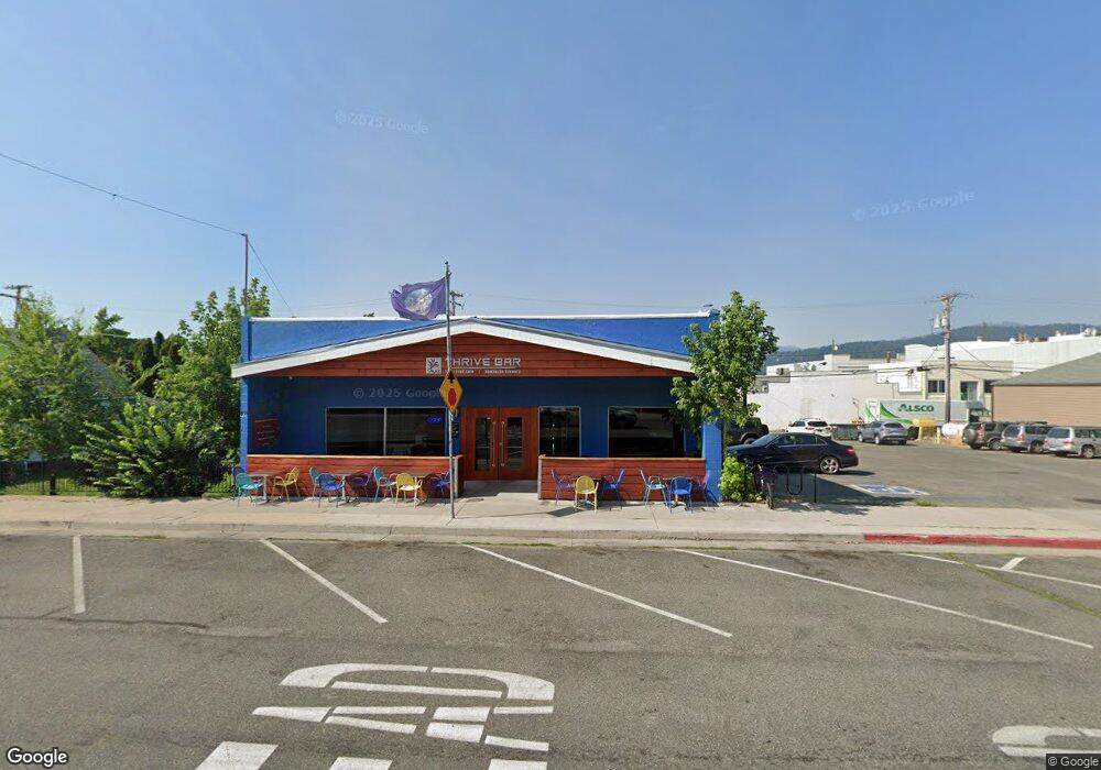
315 Chestnut St Mount Shasta, CA 96067
Estimated Value: $290,846
Studio
1
Bath
3,400
Sq Ft
$86/Sq Ft
Est. Value
About This Home
This home is located at 315 Chestnut St, Mount Shasta, CA 96067 and is currently estimated at $290,846, approximately $85 per square foot. 315 Chestnut St is a home located in Siskiyou County with nearby schools including Mt. Shasta Elementary School, Mt. Shasta High School, and Golden Eagle Charter School.
Ownership History
Date
Name
Owned For
Owner Type
Purchase Details
Closed on
Dec 19, 2018
Sold by
Rees Jonathan William and Bailey Susan
Bought by
Sheppard Nion and Allen Rebecca
Current Estimated Value
Home Financials for this Owner
Home Financials are based on the most recent Mortgage that was taken out on this home.
Original Mortgage
$110,000
Outstanding Balance
$96,717
Interest Rate
4.7%
Mortgage Type
New Conventional
Estimated Equity
$194,129
Purchase Details
Closed on
Dec 10, 2012
Sold by
Shasta Cascade Broadcasting Corporation
Bought by
Rees Jonathan William and Rees David
Create a Home Valuation Report for This Property
The Home Valuation Report is an in-depth analysis detailing your home's value as well as a comparison with similar homes in the area
Home Values in the Area
Average Home Value in this Area
Purchase History
| Date | Buyer | Sale Price | Title Company |
|---|---|---|---|
| Sheppard Nion | $215,000 | Mt Stasta Title & Escrow | |
| Rees Jonathan William | -- | None Available |
Source: Public Records
Mortgage History
| Date | Status | Borrower | Loan Amount |
|---|---|---|---|
| Open | Sheppard Nion | $110,000 |
Source: Public Records
Tax History Compared to Growth
Tax History
| Year | Tax Paid | Tax Assessment Tax Assessment Total Assessment is a certain percentage of the fair market value that is determined by local assessors to be the total taxable value of land and additions on the property. | Land | Improvement |
|---|---|---|---|---|
| 2025 | $2,949 | $274,787 | $66,929 | $207,858 |
| 2023 | $2,949 | $264,119 | $64,331 | $199,788 |
| 2022 | $2,839 | $258,941 | $63,070 | $195,871 |
| 2021 | $2,792 | $253,865 | $61,834 | $192,031 |
| 2020 | $2,546 | $228,300 | $61,200 | $167,100 |
| 2019 | $1,090 | $92,215 | $13,131 | $79,084 |
| 2018 | $1,070 | $90,408 | $12,874 | $77,534 |
| 2017 | $1,061 | $88,636 | $12,622 | $76,014 |
| 2016 | $1,042 | $86,899 | $12,375 | $74,524 |
| 2015 | $1,029 | $85,595 | $12,190 | $73,405 |
| 2014 | $1,012 | $83,920 | $11,952 | $71,968 |
Source: Public Records
Map
Nearby Homes
- 0 Lot 8 Gateway Park
- 0 Alma St Apn #057-203-040
- lot 7 Ream Ave
- parcel 3 Deetz Rd
- 102 S A St
- 0 Berry St
- 509 Mccloud Ave
- 307 N Adams Dr
- 704 Marjorie St
- 301 Perry St
- 00 Kenneth Marjorie
- 0 Everitt Memorial Hwy
- 201 Terry Lynn Ave
- 1007 Mccloud Ave
- 510 Meadow Ave
- 00 S Mount Shasta Blvd
- 1044 N Mt Shasta Blv
- 706 Glen Mar Dr
- 0 S Mount Shasta Blvd
- 1420 Kingston Rd
- 301 Chestnut St
- 308 N Mt Shasta Blvd
- 312 N Mount Shasta Blvd
- 304 N Mount Shasta Blvd
- 322 N Mount Shasta Blvd
- 320 N Mt Shasta Blvd
- 320 N Mt Shasta Blvd
- 320 N Mount Shasta Blvd
- 314 N Mount Shasta Blvd
- 316 Chestnut St
- 326 N Mount Shasta Blvd
- 318 Chestnut St
- 320 Chestnut St
- 326/330 Chestnut
- 326 Chestnut St
- 230 N Mount Shasta Blvd
- 330 Chestnut St
- 315 N Mount Shasta Blvd
- 317 N Mount Shasta Blvd
- 319 N Mount Shasta Blvd