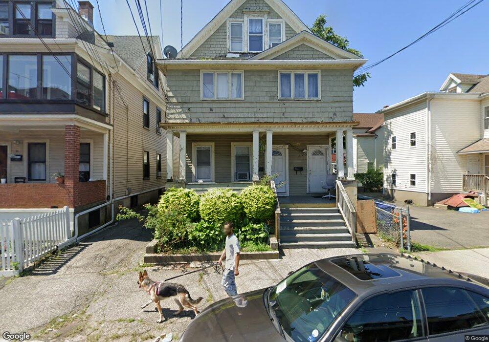
315 Coleman St Unit 317 Bridgeport, CT 06604
The Hollow NeighborhoodEstimated Value: $385,655 - $504,000
7
Beds
3
Baths
2,449
Sq Ft
$190/Sq Ft
Est. Value
About This Home
This home is located at 315 Coleman St Unit 317, Bridgeport, CT 06604 and is currently estimated at $465,164, approximately $189 per square foot. 315 Coleman St Unit 317 is a home located in Fairfield County with nearby schools including James J. Curiale School, Bassick High School, and Catholic Academy of Bridgeport-St. Raphael Academy.
Ownership History
Date
Name
Owned For
Owner Type
Purchase Details
Closed on
Aug 16, 2004
Sold by
Lucien Investors Llc
Bought by
Stewart Herbert
Current Estimated Value
Home Financials for this Owner
Home Financials are based on the most recent Mortgage that was taken out on this home.
Original Mortgage
$227,905
Interest Rate
8%
Create a Home Valuation Report for This Property
The Home Valuation Report is an in-depth analysis detailing your home's value as well as a comparison with similar homes in the area
Home Values in the Area
Average Home Value in this Area
Purchase History
| Date | Buyer | Sale Price | Title Company |
|---|---|---|---|
| Stewart Herbert | $239,900 | -- | |
| Stewart Herbert | $239,900 | -- |
Source: Public Records
Mortgage History
| Date | Status | Borrower | Loan Amount |
|---|---|---|---|
| Open | Stewart Herbert | $248,048 | |
| Closed | Stewart Herbert | $32,000 | |
| Closed | Stewart Herbert | $227,905 |
Source: Public Records
Tax History Compared to Growth
Tax History
| Year | Tax Paid | Tax Assessment Tax Assessment Total Assessment is a certain percentage of the fair market value that is determined by local assessors to be the total taxable value of land and additions on the property. | Land | Improvement |
|---|---|---|---|---|
| 2025 | $6,362 | $146,420 | $33,850 | $112,570 |
| 2024 | $6,362 | $146,420 | $33,850 | $112,570 |
| 2023 | $6,362 | $146,420 | $33,850 | $112,570 |
| 2022 | $6,362 | $146,420 | $33,850 | $112,570 |
| 2021 | $6,362 | $146,420 | $33,850 | $112,570 |
| 2020 | $5,912 | $109,510 | $16,030 | $93,480 |
| 2019 | $5,912 | $109,510 | $16,030 | $93,480 |
| 2018 | $5,954 | $109,510 | $16,030 | $93,480 |
| 2017 | $5,954 | $109,510 | $16,030 | $93,480 |
| 2016 | $5,954 | $109,510 | $16,030 | $93,480 |
| 2015 | $6,644 | $157,450 | $33,370 | $124,080 |
| 2014 | $6,644 | $157,450 | $33,370 | $124,080 |
Source: Public Records
Map
Nearby Homes
- 309 Pequonnock St
- 200 Harral Ave
- 1373 Iranistan Ave
- 60 Olive St
- 113 Milne St Unit 115
- 826 Norman St
- 183 Calhoun Ave
- 1199 Iranistan Ave Unit 1201
- 592 Norman St Unit 594
- 139 Highland Ave Unit 143
- 75 Sanford Ave
- 414 Wood Ave
- 1872 North Ave Unit 1874
- 191 Oak St
- 318 Center St
- 100 Lorraine St
- 566 Wood Ave
- 393 Laurel Ave Unit 203
- 393 Laurel Ave Unit 415
- 357 Norman St
- 311 Coleman St Unit 2
- 309 Coleman St Unit 311
- 309 Coleman St Unit 3
- 309 Coleman St Unit 2
- 309 Coleman St Unit 1
- 372 Benham Ave
- 299 Coleman St Unit 301
- 309 Olive St
- 306 Coleman St Unit 308
- 352 Benham Ave Unit 354
- 352 Benham Ave
- 368 Benham Ave
- 364 Benham Ave Unit 1st floor
- 358 Benham Ave Unit 360
- 292 Coleman St
- 346 Benham Ave
- 346 Benham Ave Unit 3
- 346 Benham Ave Unit 2
- 346 Benham Ave Unit 1
- 295 Olive St