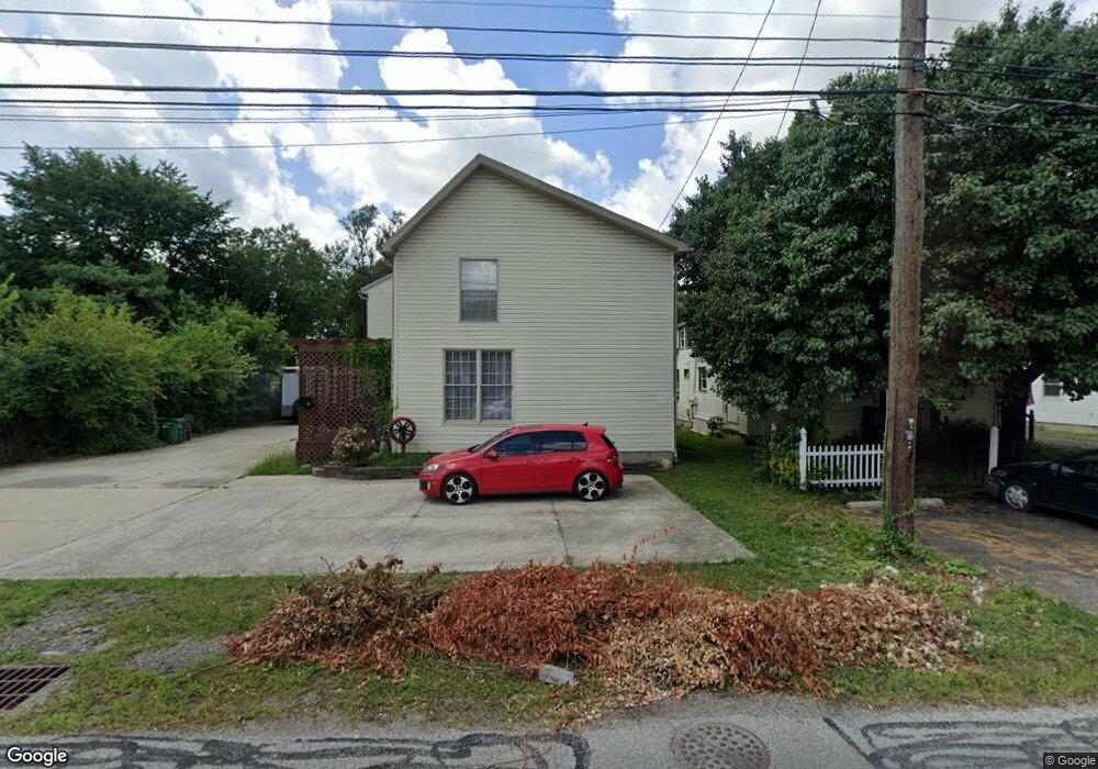
315 Derrer Rd Columbus, OH 43204
Westgate NeighborhoodEstimated Value: $276,000 - $329,000
4
Beds
3
Baths
2,452
Sq Ft
$123/Sq Ft
Est. Value
About This Home
This home is located at 315 Derrer Rd, Columbus, OH 43204 and is currently estimated at $302,159, approximately $123 per square foot. 315 Derrer Rd is a home located in Franklin County with nearby schools including Prairie Lincoln Elementary School, Galloway Ridge Intermediate School, and Norton Middle School.
Ownership History
Date
Name
Owned For
Owner Type
Purchase Details
Closed on
Sep 21, 2018
Sold by
Lamonthe Joseph A
Bought by
Hammer Gabriel A and Mathur Anisha
Current Estimated Value
Home Financials for this Owner
Home Financials are based on the most recent Mortgage that was taken out on this home.
Original Mortgage
$170,000
Outstanding Balance
$147,945
Interest Rate
4.5%
Mortgage Type
VA
Estimated Equity
$154,214
Purchase Details
Closed on
Nov 23, 2016
Sold by
Lamothe Billie A
Bought by
Lamothe Billie A
Purchase Details
Closed on
Dec 28, 1995
Sold by
Pearl M Lower Est
Bought by
Daniel L Dixon
Home Financials for this Owner
Home Financials are based on the most recent Mortgage that was taken out on this home.
Original Mortgage
$49,750
Interest Rate
9.5%
Mortgage Type
New Conventional
Purchase Details
Closed on
Mar 30, 1993
Create a Home Valuation Report for This Property
The Home Valuation Report is an in-depth analysis detailing your home's value as well as a comparison with similar homes in the area
Home Values in the Area
Average Home Value in this Area
Purchase History
| Date | Buyer | Sale Price | Title Company |
|---|---|---|---|
| Hammer Gabriel A | $170,000 | None Available | |
| Lamothe Billie A | -- | None Available | |
| Daniel L Dixon | $55,525 | -- | |
| -- | -- | -- |
Source: Public Records
Mortgage History
| Date | Status | Borrower | Loan Amount |
|---|---|---|---|
| Open | Hammer Gabriel A | $170,000 | |
| Closed | Daniel L Dixon | $49,750 |
Source: Public Records
Tax History Compared to Growth
Tax History
| Year | Tax Paid | Tax Assessment Tax Assessment Total Assessment is a certain percentage of the fair market value that is determined by local assessors to be the total taxable value of land and additions on the property. | Land | Improvement |
|---|---|---|---|---|
| 2024 | $3,699 | $72,520 | $5,180 | $67,340 |
| 2023 | $3,679 | $72,520 | $5,180 | $67,340 |
| 2022 | $5,175 | $70,140 | $16,730 | $53,410 |
| 2021 | $4,917 | $70,140 | $16,730 | $53,410 |
| 2020 | $4,908 | $70,140 | $16,730 | $53,410 |
| 2019 | $4,531 | $58,070 | $13,930 | $44,140 |
| 2018 | $3,797 | $58,070 | $13,930 | $44,140 |
| 2017 | $4,487 | $58,070 | $13,930 | $44,140 |
| 2016 | $3,318 | $40,260 | $10,120 | $30,140 |
| 2015 | $3,081 | $40,260 | $10,120 | $30,140 |
| 2014 | $3,083 | $40,260 | $10,120 | $30,140 |
| 2013 | $1,683 | $44,730 | $11,235 | $33,495 |
Source: Public Records
Map
Nearby Homes
- 328 S Southampton Ave
- 195 S Sylvan Ave
- 253 Powhatan Ave
- 3300-3302 Sullivant Ave
- 79 S Southampton Ave
- 3276-3278 Sullivant Ave
- 43 Letchworth Ave
- 0 S Brinker Ave
- 30 Demorest Rd
- 585 Athens Ave
- 56 Broadlawn Ave
- 617 Athens St
- 267 S Westgate Ave
- 133 S Brinker Ave
- 164 Alice Rita St
- 695 Demorest Rd
- 32 Orel Ave
- 36-38 Orel Ave
- 3096 Ellis Place
- 756 Brixham Rd
- 309 Derrer Rd Unit 311
- 303-305 Derrer Rd
- 303 Derrer Rd Unit 305
- 325 Derrer Rd
- 335 Derrer Rd
- 322 Derrer Rd Unit 324
- 316 Derrer Rd
- 308 Derrer Rd Unit 310
- 328 Derrer Rd
- 341 Derrer Rd
- 297 Derrer Rd
- 302 Derrer Rd
- 340 Derrer Rd
- 296 Derrer Rd
- 290 Derrer Rd
- 0 Derrer Rd
- 321 Demorest Rd
- 313 Demorest Rd
- 307 Demorest Ave
- 307 Demorest Rd