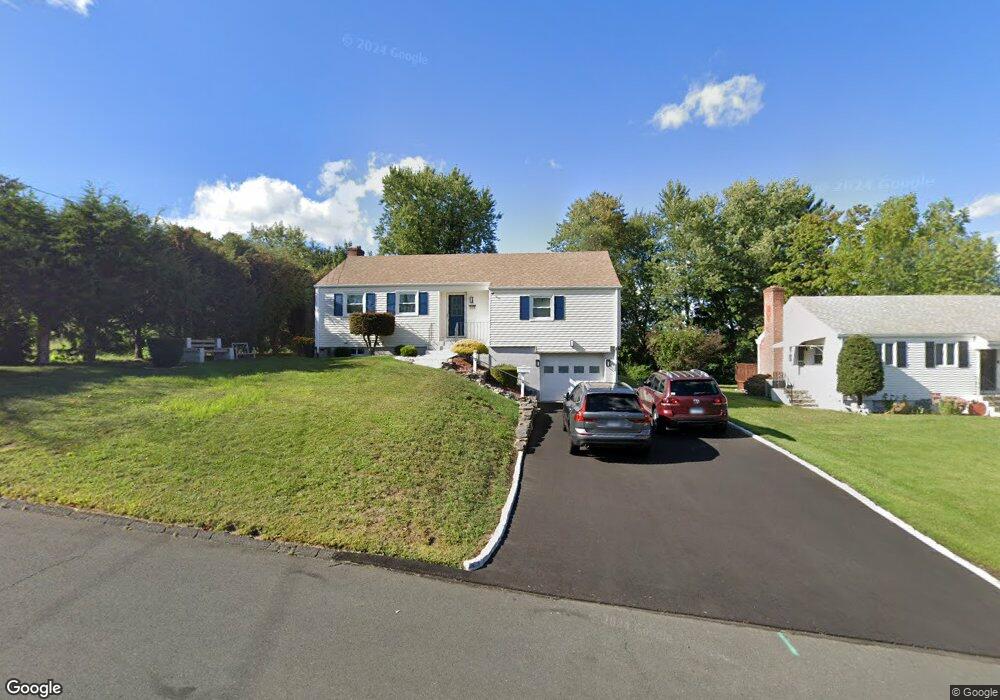
315 Dix Rd Wethersfield, CT 06109
Estimated Value: $345,349 - $356,000
3
Beds
1
Bath
1,188
Sq Ft
$296/Sq Ft
Est. Value
About This Home
This home is located at 315 Dix Rd, Wethersfield, CT 06109 and is currently estimated at $351,087, approximately $295 per square foot. 315 Dix Rd is a home located in Hartford County with nearby schools including Emerson-Williams School, Silas Deane Middle School, and Wethersfield High School.
Ownership History
Date
Name
Owned For
Owner Type
Purchase Details
Closed on
Nov 16, 2006
Sold by
Rawlinitis Paul E
Bought by
Ferreira Carlos and Ferreira Shanta D
Current Estimated Value
Home Financials for this Owner
Home Financials are based on the most recent Mortgage that was taken out on this home.
Original Mortgage
$200,000
Outstanding Balance
$119,098
Interest Rate
6.33%
Estimated Equity
$231,989
Create a Home Valuation Report for This Property
The Home Valuation Report is an in-depth analysis detailing your home's value as well as a comparison with similar homes in the area
Home Values in the Area
Average Home Value in this Area
Purchase History
| Date | Buyer | Sale Price | Title Company |
|---|---|---|---|
| Ferreira Carlos | $225,000 | -- |
Source: Public Records
Mortgage History
| Date | Status | Borrower | Loan Amount |
|---|---|---|---|
| Open | Ferreira Carlos | $13,000 | |
| Open | Ferreira Carlos | $200,000 | |
| Previous Owner | Ferreira Carlos | $86,000 | |
| Previous Owner | Ferreira Carlos | $92,000 |
Source: Public Records
Tax History
| Year | Tax Paid | Tax Assessment Tax Assessment Total Assessment is a certain percentage of the fair market value that is determined by local assessors to be the total taxable value of land and additions on the property. | Land | Improvement |
|---|---|---|---|---|
| 2025 | $9,136 | $221,630 | $94,740 | $126,890 |
| 2024 | $6,081 | $140,690 | $74,850 | $65,840 |
| 2023 | $5,878 | $140,690 | $74,850 | $65,840 |
| 2022 | $5,780 | $140,690 | $74,850 | $65,840 |
| 2021 | $5,722 | $140,690 | $74,850 | $65,840 |
| 2020 | $5,725 | $140,690 | $74,850 | $65,840 |
| 2019 | $5,732 | $140,690 | $74,850 | $65,840 |
| 2018 | $5,954 | $146,000 | $75,000 | $71,000 |
| 2017 | $5,806 | $146,000 | $75,000 | $71,000 |
| 2016 | $5,627 | $146,000 | $75,000 | $71,000 |
| 2015 | $5,576 | $146,000 | $75,000 | $71,000 |
| 2014 | $5,364 | $146,000 | $75,000 | $71,000 |
Source: Public Records
Map
Nearby Homes
Your Personal Tour Guide
Ask me questions while you tour the home.