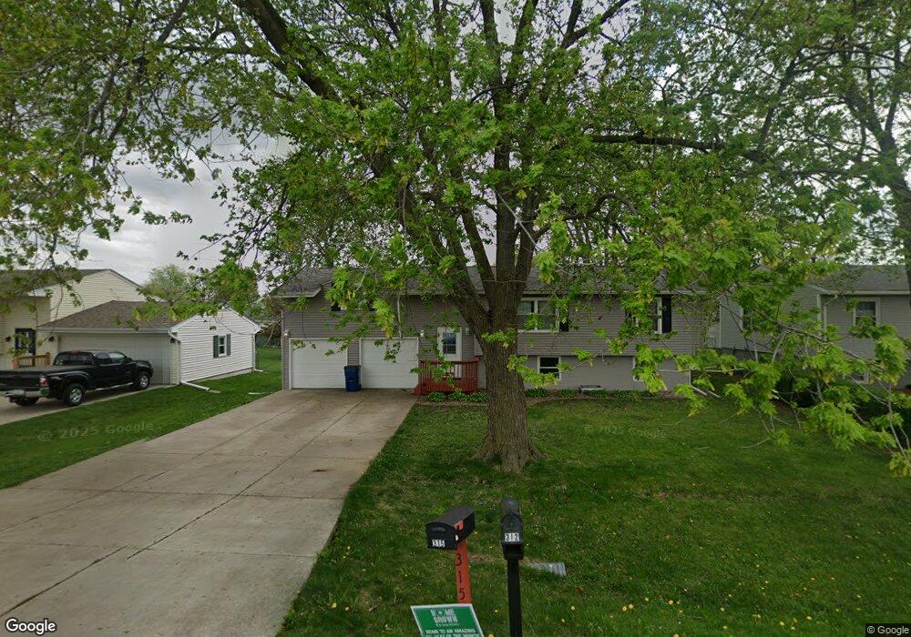
315 E Lauretta St Blue Grass, IA 52726
Estimated Value: $227,160 - $252,000
3
Beds
1
Bath
1,280
Sq Ft
$185/Sq Ft
Est. Value
About This Home
This home is located at 315 E Lauretta St, Blue Grass, IA 52726 and is currently estimated at $236,290, approximately $184 per square foot. 315 E Lauretta St is a home located in Scott County with nearby schools including Blue Grass Elementary School, Walcott Intermediate School, and West High School.
Ownership History
Date
Name
Owned For
Owner Type
Purchase Details
Closed on
May 28, 2010
Sold by
Lawrence Linda S
Bought by
Ong Ryan W
Current Estimated Value
Home Financials for this Owner
Home Financials are based on the most recent Mortgage that was taken out on this home.
Original Mortgage
$112,100
Outstanding Balance
$75,467
Interest Rate
5.14%
Mortgage Type
New Conventional
Estimated Equity
$160,823
Create a Home Valuation Report for This Property
The Home Valuation Report is an in-depth analysis detailing your home's value as well as a comparison with similar homes in the area
Home Values in the Area
Average Home Value in this Area
Purchase History
| Date | Buyer | Sale Price | Title Company |
|---|---|---|---|
| Ong Ryan W | $118,000 | None Available |
Source: Public Records
Mortgage History
| Date | Status | Borrower | Loan Amount |
|---|---|---|---|
| Open | Ong Ryan W | $112,100 |
Source: Public Records
Tax History Compared to Growth
Tax History
| Year | Tax Paid | Tax Assessment Tax Assessment Total Assessment is a certain percentage of the fair market value that is determined by local assessors to be the total taxable value of land and additions on the property. | Land | Improvement |
|---|---|---|---|---|
| 2025 | $3,166 | $223,200 | $27,200 | $196,000 |
| 2024 | $3,070 | $214,600 | $27,200 | $187,400 |
| 2023 | $2,884 | $214,600 | $27,200 | $187,400 |
| 2022 | $2,842 | $163,800 | $20,160 | $143,640 |
| 2021 | $2,842 | $163,800 | $20,160 | $143,640 |
| 2020 | $2,570 | $151,040 | $20,160 | $130,880 |
| 2019 | $2,556 | $140,510 | $13,440 | $127,070 |
| 2018 | $2,524 | $140,510 | $13,440 | $127,070 |
| 2017 | $2,262 | $140,510 | $13,440 | $127,070 |
| 2016 | $2,212 | $124,440 | $0 | $0 |
| 2015 | $2,212 | $118,890 | $0 | $0 |
| 2014 | $2,136 | $118,890 | $0 | $0 |
| 2013 | $2,088 | $0 | $0 | $0 |
| 2012 | -- | $120,040 | $13,440 | $106,600 |
Source: Public Records
Map
Nearby Homes
- 126 S Genessee St
- 423 Kevin Rd
- 451 Celeste Cir
- 783 Sweet Wood Ln
- 606 Kevin Rd
- 680 Sweet Wood Ln
- 801 S Mississippi St
- 501 Prairie Meadow Dr
- 508 Prairie Meadow Dr
- 13109 83rd Ave
- 3881 Highway 61
- 7 Sandpiper Dr
- 61 W Timberline Dr
- Lot 01 95th Ave
- Lot 02 95th Ave
- 5 E Timberline Dr
- 6218 114th St
- 9933 123rd St
- 3 Chestnut Dr
- 315 E Telegraph Rd Unit A-E
- 315 E Telegraph Rd
- 301 E Telegraph Rd
- 331 E Telegraph Rd
- 331 E Telegraph Rd
- 401 E Telegraph Rd
- 304 E Lauretta St
- 308 E Lauretta St
- 218 E Lauretta St
- 312 E Lauretta St
- 210 E Lauretta St
- 202 E Lauretta St
- 0 N Mississippi St
- 0 N Mississippi St Unit QC7018523
- 0 N Mississippi St Unit QC4095244
- 0 N Mississippi St Unit QC4095245
- 102 E Lauretta St
- 106 E Lauretta St
- 320 E Lauretta St
- 406 E Lauretta St