315 Highpointe Loop Mc Gregor, IA 52157
Estimated Value: $190,000 - $283,000
3
Beds
3
Baths
1,306
Sq Ft
$183/Sq Ft
Est. Value
About This Home
This home is located at 315 Highpointe Loop, Mc Gregor, IA 52157 and is currently estimated at $238,444, approximately $182 per square foot. 315 Highpointe Loop is a home with nearby schools including MFL Marmac Elementary School, MFL Marmac Middle School, and MFL Marmac High School.
Ownership History
Date
Name
Owned For
Owner Type
Purchase Details
Closed on
Feb 9, 2021
Sold by
Cernauskas Karla
Bought by
Hartman Linda R
Current Estimated Value
Purchase Details
Closed on
Feb 3, 2021
Sold by
Hartman Douglas and Hartman Kathy
Bought by
Hartman Linda R
Purchase Details
Closed on
Oct 13, 2020
Sold by
Burke Construction Co
Bought by
Hartman Ronald D and Hartman Linda R
Purchase Details
Closed on
Aug 23, 2011
Sold by
Burke Construction Co
Bought by
Hartman Linda R
Create a Home Valuation Report for This Property
The Home Valuation Report is an in-depth analysis detailing your home's value as well as a comparison with similar homes in the area
Purchase History
| Date | Buyer | Sale Price | Title Company |
|---|---|---|---|
| Hartman Linda R | -- | None Available | |
| Hartman Linda R | -- | None Available | |
| Hartman Ronald D | -- | None Available | |
| Hartman Linda R | -- | None Available |
Source: Public Records
Tax History
| Year | Tax Paid | Tax Assessment Tax Assessment Total Assessment is a certain percentage of the fair market value that is determined by local assessors to be the total taxable value of land and additions on the property. | Land | Improvement |
|---|---|---|---|---|
| 2025 | $2,546 | $253,780 | $30,806 | $222,974 |
| 2024 | $2,424 | $214,432 | $26,788 | $187,644 |
| 2023 | $2,594 | $214,432 | $26,788 | $187,644 |
| 2022 | $2,512 | $181,670 | $24,416 | $157,254 |
| 2021 | $2,498 | $181,670 | $24,416 | $157,254 |
| 2020 | $2,498 | $172,003 | $24,416 | $147,587 |
| 2019 | $2,480 | $172,003 | $24,416 | $147,587 |
| 2018 | $2,480 | $168,558 | $24,416 | $144,142 |
| 2017 | $2,484 | $168,558 | $24,416 | $144,142 |
| 2015 | $2,410 | $165,648 | $15,870 | $149,778 |
| 2014 | $2,374 | $154,688 | $15,870 | $138,818 |
Source: Public Records
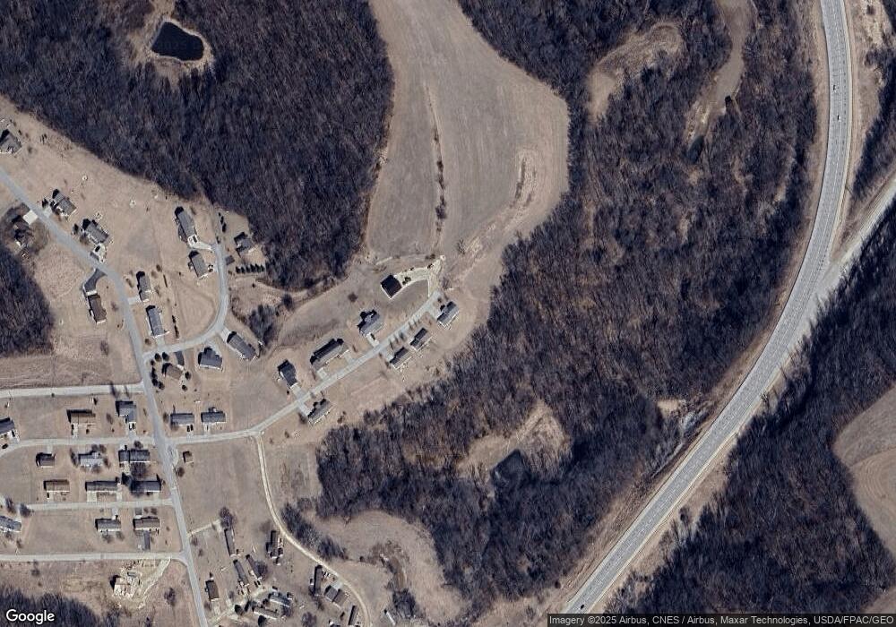
Map
Nearby Homes
- 00 High Pointe Loop Unit Lot 119
- 000 High Pointe Loop Unit Lot 118
- 368 Highpointe Loop
- 315 Breezy Pointe Loop Unit Lot 9
- 305 Breezy Pointe Loop Unit Lot 14
- Lot 16 Ohmer Ridge Subdivision
- 00 Eagle Dr Unit Lot 71
- 000 Eagle Dr Unit Lot 19 Breezy Pointe
- 000 Eagle Dr
- 1002 Tanglewood Dr
- 1.29 acre Klein Brewery Rd
- 214 Eagle Dr
- 629 Main St
- 523 Main St
- 306 Natures Dr
- 229 Main St
- 218 Main St
- 136 Main St Unit 205
- 136 Main St Unit 301
- 136 Main St Unit 302
- 313 Highpointe Loop
- 318 Highpointe Loop
- 311 Highpointe Loop
- 311 Highpointe Loop Unit Stre
- 314 Highpointe Loop
- 363 Highpointe Loop
- 314 Highpointe Loop
- 309 Highpointe Loop
- 320 Highpointe Loop
- 4.86 Ac Breezy Pointe
- 4.86 ac Breezy Pointe
- 312 Highpointe Loop
- 310 & 312 Highpointe Loop
- 365 Highpointe Loop
- 307 Highpointe Loop
- 310 Highpointe Loop
- 308 Highpointe Loop
- 305 Highpointe Loop
- 306 Highpointe Loop
- L118 Breezy Pointe
Your Personal Tour Guide
Ask me questions while you tour the home.