315 Lansdowne Westport, CT 06880
Greens Farms NeighborhoodEstimated Value: $1,480,000 - $1,588,003
2
Beds
3
Baths
2,450
Sq Ft
$629/Sq Ft
Est. Value
About This Home
This home is located at 315 Lansdowne, Westport, CT 06880 and is currently estimated at $1,541,251, approximately $629 per square foot. 315 Lansdowne is a home located in Fairfield County with nearby schools including Green's Farms School, Bedford Middle School, and Staples High School.
Ownership History
Date
Name
Owned For
Owner Type
Purchase Details
Closed on
Apr 28, 2017
Sold by
Bernstein Karen N
Bought by
Ridloff Michael and Ridloff Daniel
Current Estimated Value
Purchase Details
Closed on
Mar 8, 2017
Sold by
Nad Abraham
Bought by
Bernsrtein Karen N
Purchase Details
Closed on
Feb 4, 2011
Sold by
Nad Abraham and Nad Elsa S
Bought by
Bernstein Karen N
Purchase Details
Closed on
Oct 25, 2001
Sold by
Logan Tr Harold
Bought by
Nad Abraham and Nad Elsa
Purchase Details
Closed on
Jul 1, 1996
Sold by
Modello Anthony and Mondello Kathleen
Bought by
Logan Tr Harold
Create a Home Valuation Report for This Property
The Home Valuation Report is an in-depth analysis detailing your home's value as well as a comparison with similar homes in the area
Home Values in the Area
Average Home Value in this Area
Purchase History
| Date | Buyer | Sale Price | Title Company |
|---|---|---|---|
| Ridloff Michael | $850,000 | -- | |
| Ridloff Michael | $850,000 | -- | |
| Bernsrtein Karen N | -- | -- | |
| Bernsrtein Karen N | -- | -- | |
| Bernstein Karen N | -- | -- | |
| Bernstein Karen N | -- | -- | |
| Nad Abraham | $725,000 | -- | |
| Nad Abraham | $725,000 | -- | |
| Logan Tr Harold | $475,000 | -- | |
| Logan Tr Harold | $475,000 | -- |
Source: Public Records
Tax History Compared to Growth
Tax History
| Year | Tax Paid | Tax Assessment Tax Assessment Total Assessment is a certain percentage of the fair market value that is determined by local assessors to be the total taxable value of land and additions on the property. | Land | Improvement |
|---|---|---|---|---|
| 2025 | $10,922 | $579,100 | $0 | $579,100 |
| 2024 | $10,783 | $579,100 | $0 | $579,100 |
| 2023 | $10,626 | $579,100 | $0 | $579,100 |
| 2022 | $10,464 | $579,100 | $0 | $579,100 |
| 2021 | $10,464 | $579,100 | $0 | $579,100 |
| 2020 | $10,551 | $631,400 | $0 | $631,400 |
| 2019 | $10,645 | $631,400 | $0 | $631,400 |
| 2018 | $10,645 | $631,400 | $0 | $631,400 |
| 2017 | $10,645 | $631,400 | $0 | $631,400 |
| 2016 | $10,645 | $631,400 | $0 | $631,400 |
| 2015 | $8,428 | $465,900 | $0 | $465,900 |
| 2014 | $8,358 | $465,900 | $0 | $465,900 |
Source: Public Records
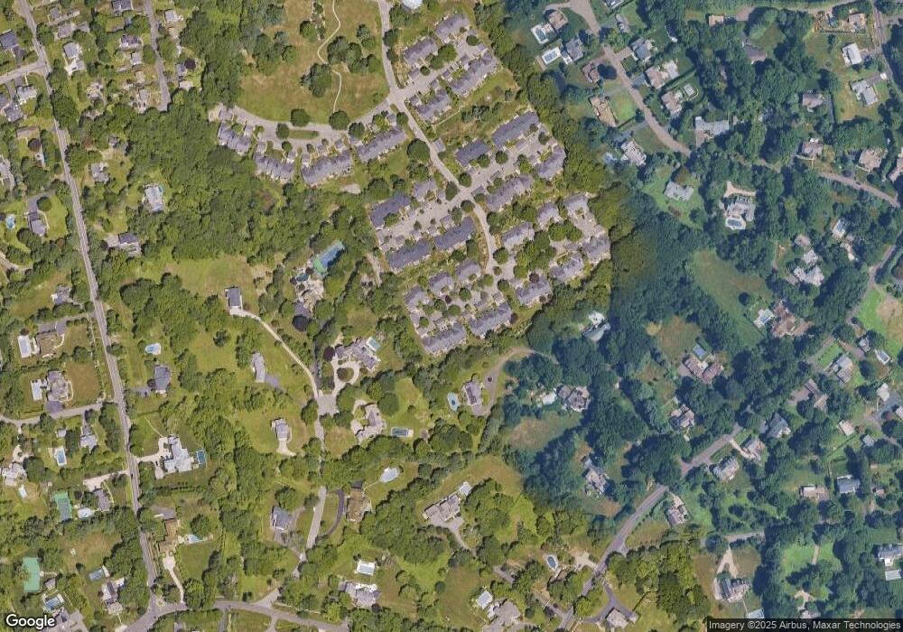
Map
Nearby Homes
- 220 Lansdowne
- 7 High Gate Rd
- 36 Maple Ave S
- 342 Greens Farms Rd
- 185 Regents Park
- 86 Maple Ave S
- 125 Old Rd
- 1 Coastal Ct
- 305 S Gate Ln
- 107 Old Rd
- 61 Clapboard Hill Rd
- 40 Maple Ave N
- 944 Pequot Ave
- 2 Elmwood Dr Unit 2
- 260 Willow St
- 109 Morningside Dr S
- 153 Pease Ave
- 22 Morningside Dr S
- 20 Morningside Dr S
- 7 Morningside Ln