315 Lansing Island Satellite Beach, FL 32937
Estimated Value: $2,918,000 - $3,801,000
6
Beds
5
Baths
6,773
Sq Ft
$475/Sq Ft
Est. Value
About This Home
This home is located at 315 Lansing Island, Satellite Beach, FL 32937 and is currently estimated at $3,220,050, approximately $475 per square foot. 315 Lansing Island is a home located in Brevard County with nearby schools including Satellite Senior High School, Ocean Breeze Elementary School, and DeLaura Middle School.
Ownership History
Date
Name
Owned For
Owner Type
Purchase Details
Closed on
Apr 29, 2005
Sold by
Pisciotta Lisa
Bought by
Paige Robert M and Paige Denise V
Current Estimated Value
Purchase Details
Closed on
May 9, 2003
Sold by
Ware Roderick L and Ware Vonda R
Bought by
Pisciotta Lisa
Home Financials for this Owner
Home Financials are based on the most recent Mortgage that was taken out on this home.
Original Mortgage
$246,557
Interest Rate
5.86%
Purchase Details
Closed on
Mar 29, 2002
Sold by
S Island Dev Corp
Bought by
Ware Roderick L and Ware Vonda R
Home Financials for this Owner
Home Financials are based on the most recent Mortgage that was taken out on this home.
Original Mortgage
$427,500
Interest Rate
6.85%
Create a Home Valuation Report for This Property
The Home Valuation Report is an in-depth analysis detailing your home's value as well as a comparison with similar homes in the area
Home Values in the Area
Average Home Value in this Area
Purchase History
| Date | Buyer | Sale Price | Title Company |
|---|---|---|---|
| Paige Robert M | $1,300,000 | Fnt Brevard Agency | |
| Pisciotta Lisa | $560,000 | -- | |
| Ware Roderick L | $450,000 | -- |
Source: Public Records
Mortgage History
| Date | Status | Borrower | Loan Amount |
|---|---|---|---|
| Previous Owner | Pisciotta Lisa | $246,557 | |
| Previous Owner | Ware Roderick L | $427,500 |
Source: Public Records
Tax History Compared to Growth
Tax History
| Year | Tax Paid | Tax Assessment Tax Assessment Total Assessment is a certain percentage of the fair market value that is determined by local assessors to be the total taxable value of land and additions on the property. | Land | Improvement |
|---|---|---|---|---|
| 2025 | $30,752 | $1,766,560 | -- | -- |
| 2024 | $30,480 | $1,716,780 | -- | -- |
| 2023 | $30,480 | $1,666,780 | $0 | $0 |
| 2022 | $28,827 | $1,618,240 | $0 | $0 |
| 2021 | $30,093 | $1,571,110 | $0 | $0 |
| 2020 | $30,097 | $1,549,420 | $0 | $0 |
| 2019 | $30,065 | $1,514,590 | $0 | $0 |
| 2018 | $30,237 | $1,486,350 | $0 | $0 |
| 2017 | $29,322 | $1,455,780 | $0 | $0 |
| 2016 | $29,561 | $1,425,840 | $505,000 | $920,840 |
| 2015 | $30,350 | $1,415,930 | $429,250 | $986,680 |
| 2014 | $30,354 | $1,357,490 | $429,250 | $928,240 |
Source: Public Records
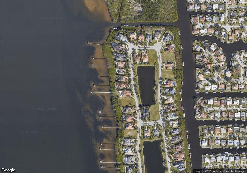
Map
Nearby Homes
- 327 Lansing Island Dr
- 630 Seville Ct
- 695 Jackson Ct
- 595 Park Ave Unit 1
- 1341 S Patrick Dr
- 100 Matthews St
- 240 Lansing Island Dr
- 702 Mar Brisa Ct Unit U702
- 612 Mar Brisa Ct
- 660 S Hedgecock Square
- 527 Wilson Ave
- 545 Teakwood Ave
- 10060 S Tropical Trail
- 10060* S Tropical Way
- Pearson End Unit Plan at Tortuga Cay
- Pearson Interior Unit Plan at Tortuga Cay
- 10100 S Tropical Trail
- 53 Emerald Ct
- 520 Lee Ave
- 445 Park Ave
- 315 Lansing Island Dr
- 319 Lansing Island
- 319 Lansing Island Dr
- 311 Lansing Island Dr
- 311 Lansing Island
- 323 Lansing Island
- 323 Lansing Island Dr
- 307 Lansing Island Dr
- 307 Lansing Island
- 325 Lansing Island Dr
- 303 Lansing Island Dr
- 338 Lansing Island Dr
- 301 Lansing Island Dr
- 712 Gleason Way
- 343 Lansing Island Dr
- 331 Lansing Island Dr
- 293 Lansing Island Dr
- 337 Lansing Island Dr
- 337 Lansing Island
- 702 Gleason Way