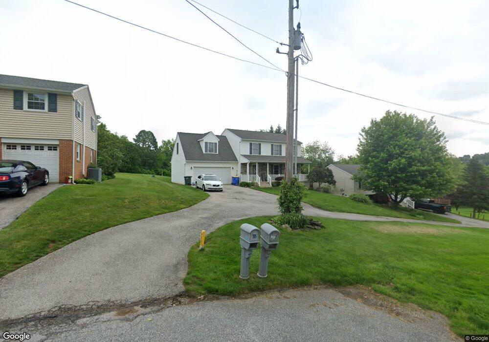
315 Locust Hill Rd Dallastown, PA 17313
Estimated Value: $330,000 - $394,000
4
Beds
3
Baths
2,351
Sq Ft
$153/Sq Ft
Est. Value
About This Home
This home is located at 315 Locust Hill Rd, Dallastown, PA 17313 and is currently estimated at $359,766, approximately $153 per square foot. 315 Locust Hill Rd is a home located in York County with nearby schools including York Township Elementary School, Dallastown Area Middle School, and Dallastown Area High School.
Ownership History
Date
Name
Owned For
Owner Type
Purchase Details
Closed on
May 13, 2003
Sold by
Carr Mark A and Carr Christy A
Bought by
Odell James R and Odell Andrea J
Current Estimated Value
Home Financials for this Owner
Home Financials are based on the most recent Mortgage that was taken out on this home.
Original Mortgage
$150,250
Outstanding Balance
$65,634
Interest Rate
5.86%
Mortgage Type
Construction
Estimated Equity
$294,132
Create a Home Valuation Report for This Property
The Home Valuation Report is an in-depth analysis detailing your home's value as well as a comparison with similar homes in the area
Home Values in the Area
Average Home Value in this Area
Purchase History
| Date | Buyer | Sale Price | Title Company |
|---|---|---|---|
| Odell James R | $35,000 | -- |
Source: Public Records
Mortgage History
| Date | Status | Borrower | Loan Amount |
|---|---|---|---|
| Open | Odell James R | $150,250 |
Source: Public Records
Tax History Compared to Growth
Tax History
| Year | Tax Paid | Tax Assessment Tax Assessment Total Assessment is a certain percentage of the fair market value that is determined by local assessors to be the total taxable value of land and additions on the property. | Land | Improvement |
|---|---|---|---|---|
| 2025 | $6,545 | $190,680 | $33,080 | $157,600 |
| 2024 | $6,450 | $190,680 | $33,080 | $157,600 |
| 2023 | $6,450 | $190,680 | $33,080 | $157,600 |
| 2022 | $6,239 | $190,680 | $33,080 | $157,600 |
| 2021 | $5,943 | $190,680 | $33,080 | $157,600 |
| 2020 | $5,943 | $190,680 | $33,080 | $157,600 |
| 2019 | $5,924 | $190,680 | $33,080 | $157,600 |
| 2018 | $5,884 | $190,680 | $33,080 | $157,600 |
| 2017 | $5,650 | $190,680 | $33,080 | $157,600 |
| 2016 | $0 | $190,680 | $33,080 | $157,600 |
| 2015 | -- | $190,680 | $33,080 | $157,600 |
| 2014 | -- | $190,680 | $33,080 | $157,600 |
Source: Public Records
Map
Nearby Homes
- 2981 Sunset Dr
- 79 S Franklin St
- 0 Lot 15 Gary Dr
- 53 S Franklin St
- 680 Hampstead Ct
- 2960 Starfire Dr
- 263 W Main St
- 55 Belmar Dr
- 195 Coventry Rd
- 18 E Howard St
- 2900 Ironstone Hill Rd
- 519 Middleview Dr
- 2723 S Queen St Unit 96
- 115 Oak Ridge Ln Unit 115
- 197 S Main St
- 74 S Main St
- 141 W Water St
- 417 Rushmore Dr
- 117 S Park St
- 10 Circle Dr
- 317 Locust Hill Rd
- 311 Locust Hill Rd
- 309 Locust Hill Rd
- 266 Nollyn Dr
- 307 Locust Hill Rd
- 50 Dallas Dr
- 264 Nollyn Dr
- 306 Locust Hill Rd
- 80 Dallas Dr
- 262 Nollyn Dr
- 263 Nollyn Dr
- 304 Locust Hill Rd
- 210 S Franklin St
- 303 Locust Hill Rd
- 260 Nollyn Dr
- 2932 Herrlyn Ct
- 2926 Herrlyn Ct
- 305 Locust Hill Rd
- 261 Nollyn Dr
- 2946 Herrlyn Ct