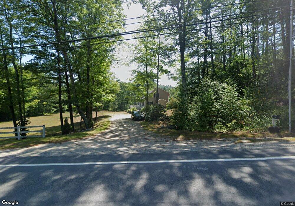
315 Main St Andover, NH 03216
Estimated Value: $479,237 - $557,000
3
Beds
3
Baths
2,037
Sq Ft
$248/Sq Ft
Est. Value
About This Home
This home is located at 315 Main St, Andover, NH 03216 and is currently estimated at $505,059, approximately $247 per square foot. 315 Main St is a home located in Merrimack County with nearby schools including Andover Elementary Middle School, Merrimack Valley High School, and Proctor Academy.
Ownership History
Date
Name
Owned For
Owner Type
Purchase Details
Closed on
May 27, 2014
Sold by
George Howard D and George Eleanor S
Bought by
Rayno Jennifer A
Current Estimated Value
Create a Home Valuation Report for This Property
The Home Valuation Report is an in-depth analysis detailing your home's value as well as a comparison with similar homes in the area
Home Values in the Area
Average Home Value in this Area
Purchase History
| Date | Buyer | Sale Price | Title Company |
|---|---|---|---|
| Rayno Jennifer A | $199,000 | -- | |
| Rayno Jennifer A | $199,000 | -- |
Source: Public Records
Mortgage History
| Date | Status | Borrower | Loan Amount |
|---|---|---|---|
| Previous Owner | Rayno Jennifer A | $70,200 | |
| Closed | Rayno Jennifer A | $0 |
Source: Public Records
Tax History
| Year | Tax Paid | Tax Assessment Tax Assessment Total Assessment is a certain percentage of the fair market value that is determined by local assessors to be the total taxable value of land and additions on the property. | Land | Improvement |
|---|---|---|---|---|
| 2025 | $6,456 | $440,700 | $108,600 | $332,100 |
| 2024 | $6,452 | $440,700 | $108,600 | $332,100 |
| 2023 | $5,269 | $229,600 | $72,600 | $157,000 |
| 2022 | $4,865 | $229,600 | $72,600 | $157,000 |
| 2021 | $4,801 | $229,600 | $72,600 | $157,000 |
| 2020 | $4,900 | $229,600 | $72,600 | $157,000 |
| 2019 | $4,969 | $229,600 | $72,600 | $157,000 |
| 2018 | $4,340 | $189,200 | $68,200 | $121,000 |
| 2017 | $4,439 | $194,200 | $64,800 | $129,400 |
| 2016 | $4,129 | $194,200 | $64,800 | $129,400 |
| 2015 | $3,861 | $194,200 | $64,800 | $129,400 |
| 2014 | $3,958 | $194,200 | $64,800 | $129,400 |
| 2013 | $3,924 | $209,300 | $74,200 | $135,100 |
Source: Public Records
Map
Nearby Homes
- 151 Beech Hill Rd
- Lot 4 Depot St
- 97 Salisbury Hwy
- 29 Horseshoe Pond Rd
- 32 Monticello Dr
- 221 Campground Rd
- 516 W Salisbury Rd
- 760 Raccoon Hill Rd
- 168 Eagle Pond Rd
- Lot 8 Stone Bridge Rd
- 32 Deckmans Rd
- 62 Patterson Rd
- 284 Village Rd
- 0 Putney Rd Unit 433
- 0 Quiet Cove Way Unit 5
- 0 Littlefield Rd Unit 3
- 108 Littlefield Rd
- Lot 3 Kimpton Brook Rd
- 66 Phelps Ln
- 00 Ragged Mountain Rd Unit 3
- 573 New Hampshire 11
- 1 Bridge Rd
- 308 Main St
- 328 Main St
- 328 Main St Unit HOUSE
- 328 Main St Unit Cottg.
- 328 Main St Unit CABIN
- 328 Main St Unit B (Carriage House)
- 298 Main St
- 332 Main St
- 4 Bridge Rd
- 13 Bridge Rd
- 284 Main St
- 11 Ives Rd
- 352 Main St
- 266 Main St
- 362 Main St
- 61 Bridge Rd
- 258 Main St
- 00 Main St
Your Personal Tour Guide
Ask me questions while you tour the home.