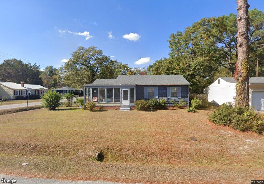
315 Memory Dr Augusta, GA 30906
Richmond Hill NeighborhoodEstimated Value: $124,898 - $175,000
3
Beds
1
Bath
1,629
Sq Ft
$91/Sq Ft
Est. Value
About This Home
This home is located at 315 Memory Dr, Augusta, GA 30906 and is currently estimated at $147,975, approximately $90 per square foot. 315 Memory Dr is a home located in Richmond County with nearby schools including Wilkinson Gardens Elementary School, Murphey Middle School, and Johnson Magnet.
Ownership History
Date
Name
Owned For
Owner Type
Purchase Details
Closed on
Sep 16, 2010
Sold by
Williams C M Living Trust
Bought by
Reid Ruby H
Current Estimated Value
Home Financials for this Owner
Home Financials are based on the most recent Mortgage that was taken out on this home.
Original Mortgage
$63,042
Outstanding Balance
$41,355
Interest Rate
4.62%
Mortgage Type
FHA
Estimated Equity
$106,620
Purchase Details
Closed on
Nov 20, 2009
Sold by
Citicorp Trust Bank Fsb
Bought by
Williams C Murray Living Trust
Purchase Details
Closed on
Oct 20, 2009
Sold by
Citicorp Trust Bk Fsb
Bought by
Williams C Murray Living Trust
Purchase Details
Closed on
Aug 4, 2009
Sold by
Thomas Joseph L and Thomas Mamie L
Bought by
Citicorp Trust Bk Fsb
Purchase Details
Closed on
Sep 14, 1999
Sold by
Rawls William Donald
Bought by
Thomas Joseph L and Thomas Mamie L
Home Financials for this Owner
Home Financials are based on the most recent Mortgage that was taken out on this home.
Original Mortgage
$53,296
Interest Rate
8.22%
Mortgage Type
FHA
Create a Home Valuation Report for This Property
The Home Valuation Report is an in-depth analysis detailing your home's value as well as a comparison with similar homes in the area
Home Values in the Area
Average Home Value in this Area
Purchase History
| Date | Buyer | Sale Price | Title Company |
|---|---|---|---|
| Reid Ruby H | $64,900 | -- | |
| Williams C Murray Living Trust | $8,000 | -- | |
| Williams C Murray Living Trust | $6,000 | -- | |
| Citicorp Trust Bk Fsb | $16,818 | -- | |
| Citicorp Trust Bank Fsb | $16,800 | -- | |
| Thomas Joseph L | $54,000 | -- |
Source: Public Records
Mortgage History
| Date | Status | Borrower | Loan Amount |
|---|---|---|---|
| Open | Reid Ruby H | $63,042 | |
| Previous Owner | Thomas Joseph L | $53,296 |
Source: Public Records
Tax History
| Year | Tax Paid | Tax Assessment Tax Assessment Total Assessment is a certain percentage of the fair market value that is determined by local assessors to be the total taxable value of land and additions on the property. | Land | Improvement |
|---|---|---|---|---|
| 2025 | $1,642 | $46,076 | $2,800 | $43,276 |
| 2024 | $1,642 | $36,456 | $2,800 | $33,656 |
| 2023 | $649 | $32,676 | $2,800 | $29,876 |
| 2022 | $1,120 | $30,852 | $2,800 | $28,052 |
| 2021 | $873 | $20,521 | $2,800 | $17,721 |
| 2020 | $864 | $20,521 | $2,800 | $17,721 |
| 2019 | $944 | $21,961 | $2,800 | $19,161 |
| 2018 | $949 | $21,961 | $2,800 | $19,161 |
| 2017 | $916 | $21,961 | $2,800 | $19,161 |
| 2016 | $916 | $21,961 | $2,800 | $19,161 |
| 2015 | $921 | $21,961 | $2,800 | $19,161 |
| 2014 | $1,009 | $21,961 | $2,800 | $19,161 |
Source: Public Records
Map
Nearby Homes
- 212 Barrow Dr
- 1929 Tubman Home Rd
- 1964 Barnes Rd
- 114 Calvary Dr
- 2025 Olive Rd
- 2424 Bream Ave
- 1921 3rd Ave
- 2216 Sullivan Rd
- 2321 Old Savannah Rd
- 1915 1st Ave
- 2137 Gatewood Dr
- 2469 Reese Ave
- 2440 Peach Orchard Rd
- 2472 Reese Ave
- 2475 Reese Ave
- 2235 Dyer St
- 959 14th Ave
- 2437 Mike Padgett Hwy
- 2106 Roosevelt Dr
- 1137 14th Ave
Your Personal Tour Guide
Ask me questions while you tour the home.