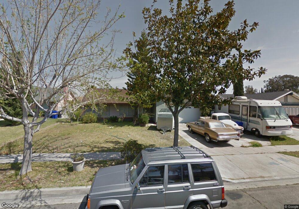
315 N Smoke Tree Ave Rialto, CA 92376
Estimated Value: $570,000 - $613,000
4
Beds
2
Baths
1,377
Sq Ft
$425/Sq Ft
Est. Value
About This Home
This home is located at 315 N Smoke Tree Ave, Rialto, CA 92376 and is currently estimated at $584,796, approximately $424 per square foot. 315 N Smoke Tree Ave is a home located in San Bernardino County with nearby schools including Charlotte N. Werner Elementary School, Rialto Middle School, and Wilmer Amina Carter High School.
Ownership History
Date
Name
Owned For
Owner Type
Purchase Details
Closed on
Nov 26, 2014
Sold by
Madueno Teresa
Bought by
Madueno Octavio
Current Estimated Value
Purchase Details
Closed on
Mar 23, 1994
Sold by
Madueno Octavio
Bought by
Madueno Octavio
Home Financials for this Owner
Home Financials are based on the most recent Mortgage that was taken out on this home.
Original Mortgage
$68,700
Interest Rate
7.38%
Purchase Details
Closed on
Dec 14, 1993
Sold by
Madueno Octavio and Madueno Guadalupe
Bought by
Madueno Octavio
Create a Home Valuation Report for This Property
The Home Valuation Report is an in-depth analysis detailing your home's value as well as a comparison with similar homes in the area
Home Values in the Area
Average Home Value in this Area
Purchase History
| Date | Buyer | Sale Price | Title Company |
|---|---|---|---|
| Madueno Octavio | -- | None Available | |
| Madueno Octavio | -- | Investors Title Company | |
| Madueno Octavio | -- | -- |
Source: Public Records
Mortgage History
| Date | Status | Borrower | Loan Amount |
|---|---|---|---|
| Closed | Madueno Octavio | $68,700 |
Source: Public Records
Tax History Compared to Growth
Tax History
| Year | Tax Paid | Tax Assessment Tax Assessment Total Assessment is a certain percentage of the fair market value that is determined by local assessors to be the total taxable value of land and additions on the property. | Land | Improvement |
|---|---|---|---|---|
| 2025 | $2,325 | $165,748 | $27,619 | $138,129 |
| 2024 | $2,325 | $162,498 | $27,077 | $135,421 |
| 2023 | $2,451 | $159,312 | $26,546 | $132,766 |
| 2022 | $2,266 | $156,188 | $26,025 | $130,163 |
| 2021 | $2,252 | $153,126 | $25,515 | $127,611 |
| 2020 | $2,254 | $151,556 | $25,253 | $126,303 |
| 2019 | $2,209 | $148,584 | $24,758 | $123,826 |
| 2018 | $2,132 | $145,671 | $24,273 | $121,398 |
| 2017 | $2,117 | $142,815 | $23,797 | $119,018 |
| 2016 | $1,756 | $140,014 | $23,330 | $116,684 |
| 2015 | $1,763 | $137,911 | $22,980 | $114,931 |
| 2014 | $1,656 | $135,210 | $22,530 | $112,680 |
Source: Public Records
Map
Nearby Homes
- 2505 W Foothill Blvd Unit 67
- 291 N Church Ave
- 250 N Linden Ave Unit 124
- 250 N Linden Ave Unit 250
- 250 N Linden Ave Unit 9
- 250 N Linden Ave Unit 327
- 250 N Linden Ave Unit 246
- 250 N Linden Ave Unit 223
- 250 N Linden Ave
- 250 N Linden Ave Unit 57
- 193 N Maple Ave
- 357 N Maple Ave
- 1100 W Foothill Blvd
- 18100 Arrow Blvd
- 440 N Glenwood Ave
- 1079 W Clover Ave
- 975 W Clover Ave
- 1314 W Victoria St
- 668 N Quince Ave
- 645 N Maple Ave
- 321 N Smoke Tree Ave
- 309 N Smoke Tree Ave
- 320 N Aspen Ave
- 314 N Aspen Ave
- 326 N Aspen Ave
- 327 N Smoke Tree Ave
- 303 N Smoke Tree Ave
- 316 N Smoke Tree Ave
- 332 N Aspen Ave
- 308 N Aspen Ave
- 322 N Smoke Tree Ave
- 310 N Smoke Tree Ave
- 333 N Smoke Tree Ave
- 295 N Smoke Tree Ave
- 328 N Smoke Tree Ave
- 304 N Smoke Tree Ave
- 296 N Aspen Ave
- 338 N Aspen Ave
- 334 N Smoke Tree Ave
- 296 N Smoke Tree Ave