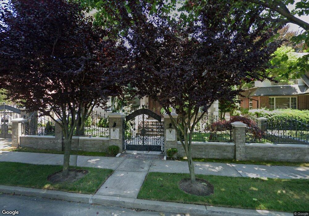
315 Parsons Blvd Whitestone, NY 11357
Whitestone NeighborhoodEstimated Value: $1,996,000 - $3,120,000
--
Bed
--
Bath
4,500
Sq Ft
$577/Sq Ft
Est. Value
About This Home
This home is located at 315 Parsons Blvd, Whitestone, NY 11357 and is currently estimated at $2,594,499, approximately $576 per square foot. 315 Parsons Blvd is a home located in Queens County with nearby schools including P.S. 79 - Francis Lewis, J.H.S. 194 William Carr, and Flushing High School.
Ownership History
Date
Name
Owned For
Owner Type
Purchase Details
Closed on
Apr 5, 2001
Sold by
Minino Manuel
Bought by
Cappuccia Felice and Cappuccia Rosina
Current Estimated Value
Home Financials for this Owner
Home Financials are based on the most recent Mortgage that was taken out on this home.
Original Mortgage
$300,000
Outstanding Balance
$109,603
Interest Rate
6.9%
Estimated Equity
$2,484,896
Purchase Details
Closed on
Sep 15, 1999
Sold by
Munoz Antonia Mercedes
Bought by
Minino Manuel
Create a Home Valuation Report for This Property
The Home Valuation Report is an in-depth analysis detailing your home's value as well as a comparison with similar homes in the area
Home Values in the Area
Average Home Value in this Area
Purchase History
| Date | Buyer | Sale Price | Title Company |
|---|---|---|---|
| Cappuccia Felice | -- | -- | |
| Minino Manuel | $305,000 | Stewart Title Insurance Co |
Source: Public Records
Mortgage History
| Date | Status | Borrower | Loan Amount |
|---|---|---|---|
| Open | Cappuccia Felice | $300,000 |
Source: Public Records
Tax History Compared to Growth
Tax History
| Year | Tax Paid | Tax Assessment Tax Assessment Total Assessment is a certain percentage of the fair market value that is determined by local assessors to be the total taxable value of land and additions on the property. | Land | Improvement |
|---|---|---|---|---|
| 2025 | $22,263 | $113,256 | $17,942 | $95,314 |
| 2024 | $22,263 | $110,844 | $16,491 | $94,353 |
| 2023 | $21,782 | $108,450 | $13,623 | $94,827 |
| 2022 | $20,425 | $163,740 | $23,040 | $140,700 |
| 2021 | $21,054 | $135,720 | $23,040 | $112,680 |
| 2020 | $19,977 | $123,900 | $23,040 | $100,860 |
| 2019 | $19,323 | $136,500 | $23,040 | $113,460 |
| 2018 | $18,423 | $90,375 | $20,706 | $69,669 |
| 2017 | $17,380 | $85,260 | $23,040 | $62,220 |
| 2016 | $16,666 | $85,260 | $23,040 | $62,220 |
| 2015 | $9,835 | $78,650 | $20,937 | $57,713 |
| 2014 | $9,835 | $76,975 | $21,288 | $55,687 |
Source: Public Records
Map
Nearby Homes
- 104 Malba Dr
- 95 Malba Dr Unit 1
- 6 Summit Place
- 118 Malba Dr
- 145-45 4th Ave
- 144-58 Boulevard
- 145-67 5th Ave
- 2-07 Parsons Blvd
- 707 147th St
- 147-07 8th Ave
- 915 Malba Dr
- 4 Point Crescent
- 2-44 149th St
- 145-52 10th Ave
- 147-47 8th Ave
- 14703 10th Ave
- 141-37 11th Ave
- 141-16 11th Ave
- 149-27 6th Ave
- 14910 7th Ave
- 106 Parsons Blvd
- 110 Parsons Blvd
- 4-13 Parsons Blvd
- 333 Parsons Blvd
- 316 Parsons Blvd
- 304 Parsons Blvd
- 320 Parsons Blvd
- 3-20 Parsons Blvd
- 38 Parsons Blvd
- 45 Parsons Blvd
- 43 Parsons Blvd
- 324 Parsons Blvd
- 145-07 3rd Ave
- 413 Parsons Blvd
- 330 Parsons Blvd
- 14503 3rd Ave
- 14507 3rd Ave
- 3-15 Malba Dr
- 144-24 37th Ave
- 3-34 Parsons Blvd