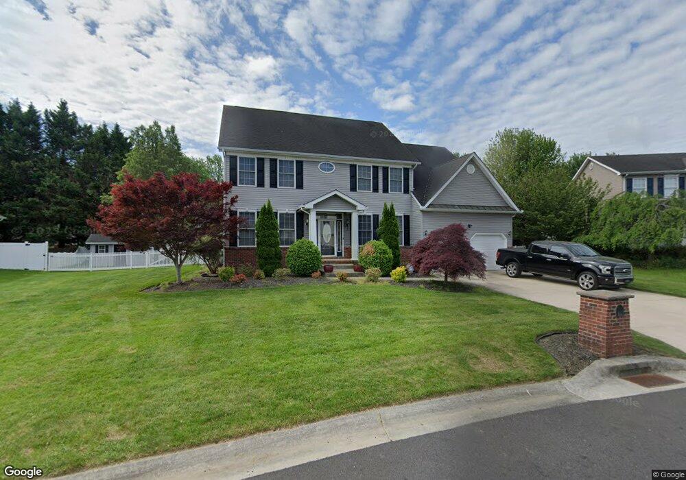
315 Pebble Dr Camden Wyoming, DE 19934
Estimated Value: $492,854 - $545,000
4
Beds
4
Baths
3,323
Sq Ft
$158/Sq Ft
Est. Value
About This Home
This home is located at 315 Pebble Dr, Camden Wyoming, DE 19934 and is currently estimated at $524,214, approximately $157 per square foot. 315 Pebble Dr is a home located in Kent County with nearby schools including Allen Frear Elementary School, F. Niel Postlethwait Middle School, and Caesar Rodney High School.
Ownership History
Date
Name
Owned For
Owner Type
Purchase Details
Closed on
Jan 26, 2005
Sold by
Stover Homes Llc
Bought by
Jefferson Roy and Jefferson Kimberly Y
Current Estimated Value
Home Financials for this Owner
Home Financials are based on the most recent Mortgage that was taken out on this home.
Original Mortgage
$63,360
Outstanding Balance
$47,055
Interest Rate
5.67%
Mortgage Type
Purchase Money Mortgage
Estimated Equity
$477,159
Create a Home Valuation Report for This Property
The Home Valuation Report is an in-depth analysis detailing your home's value as well as a comparison with similar homes in the area
Home Values in the Area
Average Home Value in this Area
Purchase History
| Date | Buyer | Sale Price | Title Company |
|---|---|---|---|
| Jefferson Roy | -- | None Available |
Source: Public Records
Mortgage History
| Date | Status | Borrower | Loan Amount |
|---|---|---|---|
| Open | Jefferson Roy | $63,360 |
Source: Public Records
Tax History Compared to Growth
Tax History
| Year | Tax Paid | Tax Assessment Tax Assessment Total Assessment is a certain percentage of the fair market value that is determined by local assessors to be the total taxable value of land and additions on the property. | Land | Improvement |
|---|---|---|---|---|
| 2025 | $2,332 | $453,600 | $93,400 | $360,200 |
| 2024 | $2,332 | $451,000 | $93,400 | $357,600 |
| 2023 | $2,592 | $83,000 | $10,900 | $72,100 |
| 2022 | $2,443 | $83,000 | $10,900 | $72,100 |
| 2021 | $2,431 | $83,000 | $10,900 | $72,100 |
| 2020 | $2,367 | $83,000 | $10,900 | $72,100 |
| 2019 | $2,284 | $83,000 | $10,900 | $72,100 |
| 2018 | $2,227 | $83,000 | $10,900 | $72,100 |
| 2017 | $2,179 | $83,000 | $0 | $0 |
| 2016 | $2,073 | $83,000 | $0 | $0 |
| 2015 | $1,782 | $83,000 | $0 | $0 |
| 2014 | $1,799 | $83,000 | $0 | $0 |
Source: Public Records
Map
Nearby Homes
- 103 Osprey Ct
- 106 Steffens Blvd
- 45 Brookfield Dr
- 42 Brookfield Dr
- 464 Orchard Grove Dr
- 55 Orchard Grove Ct
- 256 Headstart Ln
- 83 Homestead Dr
- 224 King Henry Ct
- LOT 102 AST King Henry Ct
- LOT 105 SYC Brookfield Dr
- Lot 22 Bee Brookfield Dr
- Aster Plan at Brookfield
- Linden Plan at Brookfield
- Beech Plan at Brookfield
- Garrett Plan at Brookfield
- Sycamore Plan at Brookfield
- Red Maple Plan at Brookfield
- 272 King Henry Ct
- 870 Brookfield Dr
- 313 Pebble Dr
- 317 Pebble Dr
- 153 Roundabout Trail
- 155 Roundabout Trail
- 151 Roundabout Trail
- 318 Pebble Dr
- 157 Roundabout Trail
- 312 Pebble Dr
- 311 Pebble Dr
- 319 Pebble Dr
- 149 Roundabout Trail
- 161 Roundabout Trail
- 310 Pebble Dr
- 152 Roundabout Trail
- 322 Pebble Dr
- 309 Pebble Dr
- 150 Roundabout Trail
- 154 Roundabout Trail
- 321 Pebble Dr
- 209 Sandhill Way