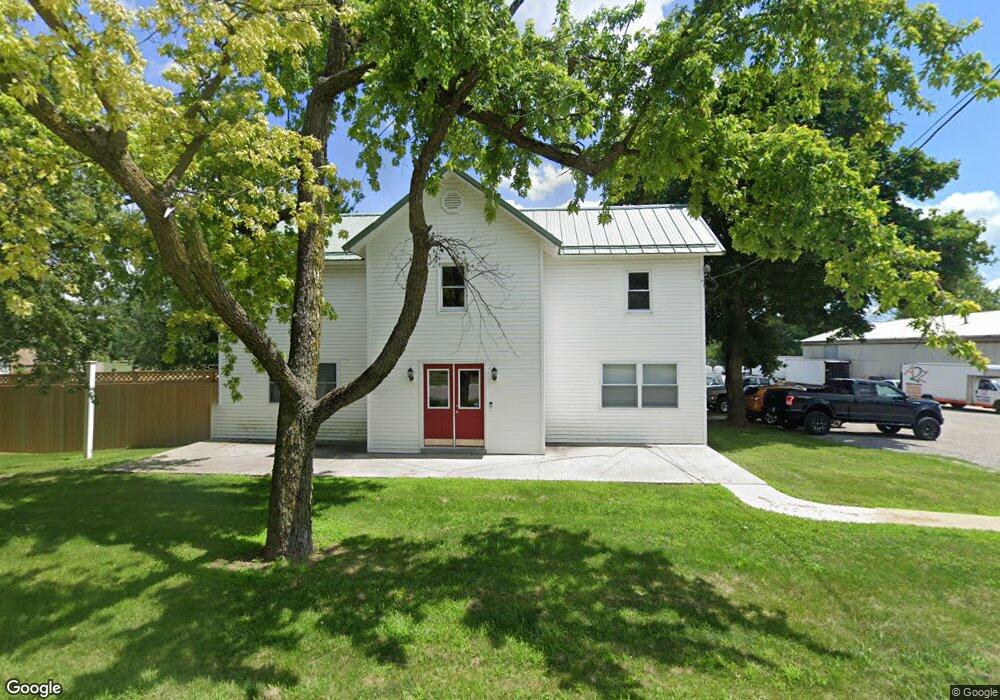
315 S Main St West Unity, OH 43570
5
Beds
2
Baths
2,892
Sq Ft
0.5
Acres
About This Home
This home is located at 315 S Main St, West Unity, OH 43570. 315 S Main St is a home located in Williams County with nearby schools including Hilltop Elementary School and Hilltop High School.
Ownership History
Date
Name
Owned For
Owner Type
Purchase Details
Closed on
Feb 28, 2022
Sold by
Saneda Properties Llc
Bought by
Cl2 Holdings Llc
Purchase Details
Closed on
Aug 27, 2013
Sold by
Saneda Nathan J and Saneda Kristal L
Bought by
Saneda Properties Llc
Purchase Details
Closed on
Apr 20, 2007
Sold by
Carter Misty and Carter Edward
Bought by
Saneda Nathan J
Home Financials for this Owner
Home Financials are based on the most recent Mortgage that was taken out on this home.
Original Mortgage
$67,500
Interest Rate
6.2%
Mortgage Type
Commercial
Purchase Details
Closed on
Sep 30, 2005
Sold by
Cilley Steve A and Cilley Ann
Bought by
Carter Misty and Carter Edward
Home Financials for this Owner
Home Financials are based on the most recent Mortgage that was taken out on this home.
Original Mortgage
$87,200
Interest Rate
7.75%
Mortgage Type
Adjustable Rate Mortgage/ARM
Purchase Details
Closed on
Sep 7, 1995
Sold by
Hornung Larry A And
Bought by
Cilley Steve A
Purchase Details
Closed on
Jan 1, 1990
Bought by
Hornung Larry A And
Create a Home Valuation Report for This Property
The Home Valuation Report is an in-depth analysis detailing your home's value as well as a comparison with similar homes in the area
Home Values in the Area
Average Home Value in this Area
Purchase History
| Date | Buyer | Sale Price | Title Company |
|---|---|---|---|
| Cl2 Holdings Llc | -- | Preservation Title | |
| Saneda Properties Llc | -- | None Available | |
| Saneda Nathan J | $75,000 | None Available | |
| Carter Misty | $145,250 | Priority Land Title Agency | |
| Cilley Steve A | $47,500 | -- | |
| Hornung Larry A And | -- | -- |
Source: Public Records
Mortgage History
| Date | Status | Borrower | Loan Amount |
|---|---|---|---|
| Previous Owner | Saneda Nathan J | $67,500 | |
| Previous Owner | Carter Misty | $21,800 | |
| Previous Owner | Carter Misty | $87,200 |
Source: Public Records
Tax History Compared to Growth
Tax History
| Year | Tax Paid | Tax Assessment Tax Assessment Total Assessment is a certain percentage of the fair market value that is determined by local assessors to be the total taxable value of land and additions on the property. | Land | Improvement |
|---|---|---|---|---|
| 2024 | $954 | $33,740 | $8,260 | $25,480 |
| 2023 | $1,908 | $25,550 | $7,490 | $18,060 |
| 2022 | $1,650 | $25,550 | $7,490 | $18,060 |
| 2021 | $1,650 | $25,550 | $7,490 | $18,060 |
| 2020 | $1,661 | $25,550 | $7,490 | $18,060 |
| 2019 | $1,640 | $25,550 | $7,490 | $18,060 |
| 2018 | $1,508 | $25,550 | $7,490 | $18,060 |
| 2017 | $1,415 | $21,810 | $7,490 | $14,320 |
| 2016 | $1,365 | $21,810 | $7,490 | $14,320 |
| 2015 | $1,410 | $21,810 | $7,490 | $14,320 |
| 2014 | $1,410 | $21,810 | $7,490 | $14,320 |
| 2013 | $1,388 | $21,810 | $7,490 | $14,320 |
Source: Public Records
Map
Nearby Homes
- 340 S Main St
- 000 W Jackson
- 205 Taylor Dr
- 311 W Rings St
- 22227 Us Highway 20a
- 16806 US Highway 20a
- 18 Cobblestone Rd
- 15664 County Road K
- 16228 County Road N-30
- 305 W Mulberry St
- 301 Horton St
- 3063 County Road 26-2
- 22018 County Road F
- 0 U S 20
- 0 St Rt 15 Unit 10001011
- 10628 Ohio 15
- 0 County Road F
- 5065 County Road 20-50
- 7170 County Road 23
- 24218 State Route 2
- 323 S Main St
- 312 S Main St
- 325 S Main St
- 322 S Main St
- 313 S Main St
- 309 S Main St
- 310 S Main St
- 324 S Main St
- 327 S Main St
- 327 S Main St
- 307 S Main St
- 326 S Main St
- 329 S Main St
- 312 S Liberty St
- 20 S Liberty County Road 20- 40
- 330 S Main St
- 305 S Main St
- 11435 20-40 Rd (Aka South Liberty St)
- 314 S Liberty St
- 310 S Liberty St