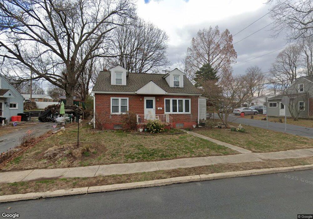
315 W Summit St Mohnton, PA 19540
Estimated Value: $248,848 - $277,000
3
Beds
1
Bath
1,254
Sq Ft
$213/Sq Ft
Est. Value
About This Home
This home is located at 315 W Summit St, Mohnton, PA 19540 and is currently estimated at $266,712, approximately $212 per square foot. 315 W Summit St is a home located in Berks County with nearby schools including Governor Mifflin Intermediate School, Brecknock Elementary School, and Governor Mifflin Middle School.
Ownership History
Date
Name
Owned For
Owner Type
Purchase Details
Closed on
Aug 9, 2007
Sold by
Kupiszewski Dorothy E and Kent Andrew F
Bought by
Kupiszewski Steven M
Current Estimated Value
Home Financials for this Owner
Home Financials are based on the most recent Mortgage that was taken out on this home.
Original Mortgage
$123,000
Outstanding Balance
$77,917
Interest Rate
6.67%
Mortgage Type
New Conventional
Estimated Equity
$188,795
Purchase Details
Closed on
Mar 20, 2003
Sold by
Kupiszewski Dorothy E
Bought by
Kupiszewski Dorothy E and Kent Andrew F
Create a Home Valuation Report for This Property
The Home Valuation Report is an in-depth analysis detailing your home's value as well as a comparison with similar homes in the area
Home Values in the Area
Average Home Value in this Area
Purchase History
| Date | Buyer | Sale Price | Title Company |
|---|---|---|---|
| Kupiszewski Steven M | $123,000 | None Available | |
| Kupiszewski Dorothy E | -- | -- |
Source: Public Records
Mortgage History
| Date | Status | Borrower | Loan Amount |
|---|---|---|---|
| Open | Kupiszewski Steven M | $123,000 |
Source: Public Records
Tax History Compared to Growth
Tax History
| Year | Tax Paid | Tax Assessment Tax Assessment Total Assessment is a certain percentage of the fair market value that is determined by local assessors to be the total taxable value of land and additions on the property. | Land | Improvement |
|---|---|---|---|---|
| 2025 | $1,285 | $76,900 | $28,900 | $48,000 |
| 2024 | $3,499 | $76,900 | $28,900 | $48,000 |
| 2023 | $3,407 | $76,900 | $28,900 | $48,000 |
| 2022 | $3,265 | $76,900 | $28,900 | $48,000 |
| 2021 | $3,226 | $76,900 | $28,900 | $48,000 |
| 2020 | $3,226 | $76,900 | $28,900 | $48,000 |
| 2019 | $3,173 | $76,900 | $28,900 | $48,000 |
| 2018 | $3,105 | $76,900 | $28,900 | $48,000 |
| 2017 | $3,043 | $76,900 | $28,900 | $48,000 |
| 2016 | $898 | $76,900 | $28,900 | $48,000 |
| 2015 | $898 | $76,900 | $28,900 | $48,000 |
| 2014 | $880 | $76,900 | $28,900 | $48,000 |
Source: Public Records
Map
Nearby Homes
- 306 Sycamore St
- 614 Wolfe Ln
- 206 N Church St
- 52 W Wyomissing Ave
- 28 N Church St
- 13 E Summit St
- 26 E Mohn St
- 665 Fairmont Ave
- 611 Maplewood Ave
- 121 E Summit St
- 139 Hillcrest Rd
- 165 Hillcrest Rd
- 3 Monroe St
- 120 E Wyomissing Ave
- 18 Front St
- 131 E Wyomissing Ave
- 140 S Church St
- 15 Lake St
- 578 Old Lancaster Pike
- 1104 Bedford Ave
- 317 W Summit St
- 313 W Summit St
- 319 W Summit St
- 316 Slichter Dr
- 311 W Summit St
- 318 Slichter Dr
- 314 Slichter Dr
- 316 W Summit St
- 321 W Summit St
- 320 Slichter Dr
- 314 W Summit St
- 320 W Summit St
- 312 Slichter Dr
- 312 W Summit St
- 322 Slichter Dr
- 309 W Summit St
- 323 W Summit St
- 322 W Summit St
- 310 W Summit St
- 311 Slichter Dr