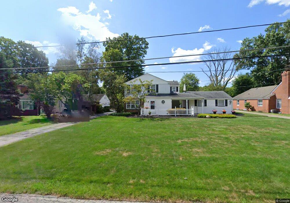
315 White House Ln Unit 317 Youngstown, OH 44512
Estimated Value: $145,000 - $177,613
2
Beds
2
Baths
2,060
Sq Ft
$78/Sq Ft
Est. Value
About This Home
This home is located at 315 White House Ln Unit 317, Youngstown, OH 44512 and is currently estimated at $160,153, approximately $77 per square foot. 315 White House Ln Unit 317 is a home located in Mahoning County with nearby schools including West Boulevard Elementary School, Boardman Center Middle School, and Boardman High School.
Ownership History
Date
Name
Owned For
Owner Type
Purchase Details
Closed on
Jun 5, 2007
Sold by
Welsh T Gordon and Welsh Joan
Bought by
Romano Joseph S
Current Estimated Value
Home Financials for this Owner
Home Financials are based on the most recent Mortgage that was taken out on this home.
Original Mortgage
$77,600
Outstanding Balance
$47,534
Interest Rate
6.21%
Mortgage Type
Purchase Money Mortgage
Estimated Equity
$112,619
Purchase Details
Closed on
Jun 17, 1992
Bought by
Welsh Ben
Create a Home Valuation Report for This Property
The Home Valuation Report is an in-depth analysis detailing your home's value as well as a comparison with similar homes in the area
Home Values in the Area
Average Home Value in this Area
Purchase History
| Date | Buyer | Sale Price | Title Company |
|---|---|---|---|
| Romano Joseph S | $97,000 | None Available | |
| Welsh Ben | $84,000 | -- |
Source: Public Records
Mortgage History
| Date | Status | Borrower | Loan Amount |
|---|---|---|---|
| Open | Romano Joseph S | $77,600 |
Source: Public Records
Tax History Compared to Growth
Tax History
| Year | Tax Paid | Tax Assessment Tax Assessment Total Assessment is a certain percentage of the fair market value that is determined by local assessors to be the total taxable value of land and additions on the property. | Land | Improvement |
|---|---|---|---|---|
| 2024 | $2,332 | $45,560 | $9,940 | $35,620 |
| 2023 | $2,301 | $45,560 | $9,940 | $35,620 |
| 2022 | $1,931 | $29,210 | $10,060 | $19,150 |
| 2021 | $1,932 | $29,210 | $10,060 | $19,150 |
| 2020 | $1,942 | $29,210 | $10,060 | $19,150 |
| 2019 | $1,883 | $25,180 | $8,670 | $16,510 |
| 2018 | $1,612 | $25,180 | $8,670 | $16,510 |
| 2017 | $993 | $25,180 | $8,670 | $16,510 |
| 2016 | $1,890 | $29,270 | $8,670 | $20,600 |
| 2015 | $1,852 | $29,270 | $8,670 | $20,600 |
| 2014 | $1,858 | $29,270 | $8,670 | $20,600 |
| 2013 | $1,834 | $29,270 | $8,670 | $20,600 |
Source: Public Records
Map
Nearby Homes
- 5200 West Blvd Unit 505
- 272 Shields Rd
- 5020 Friendship Ave
- 537 W Glen Dr
- 169 Wolcott Dr
- 49 Shields Rd
- 4478 Devonshire Dr Unit 1B
- 715 Crestview Dr
- 272 Ewing Rd
- 44 Gertrude Ave
- 28 Terrace Dr
- 4225 Stratford Rd
- 29 Gillian Ln
- 4250 Oak Knoll Dr
- 103 Wildwood Dr
- 117 Overhill Rd
- 5522 Southern Blvd
- 396 Brookfield Ave
- 88 Arlene Ave
- 242 Oakley Ave
- 321 White House Ln Unit 323
- 309 White House Ln Unit 311
- 5370 Old Oxford Ln
- 327 White House Ln
- 5380 Old Oxford Ln
- 5285 Pine Tree Ln Unit 287
- 5360 Old Oxford Ln
- 5312 Glenwood Ave Unit 1
- 5312 Glenwood Ave Unit 4
- 5312 Glenwood Ave Unit 3
- 5312 Glenwood Ave Unit 5
- 324 White House Ln
- 5304 Glenwood Ave
- 335 White House Ln
- 333 White House Ln Unit 335
- 5332 Old Oxford Ln
- 306 White House Ln
- 5324 Glenwood Ave
- 304 306 White House Ln
- 304 White House Ln Unit 306