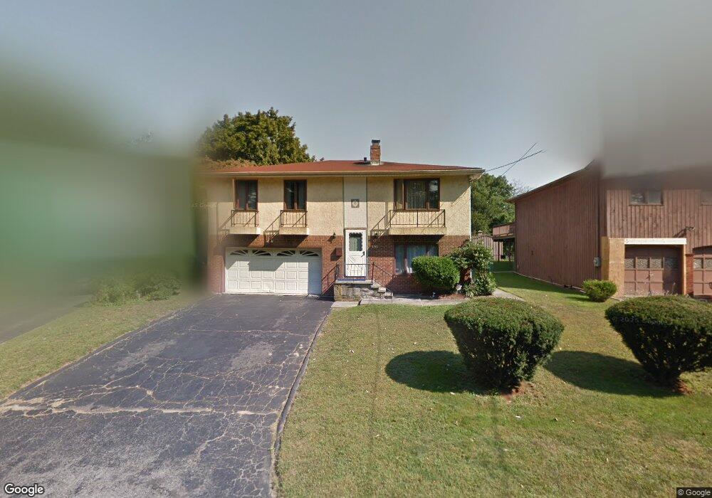
3150 E Main St Bridgeport, CT 06610
North Bridgeport NeighborhoodEstimated Value: $350,000 - $444,000
3
Beds
2
Baths
1,360
Sq Ft
$294/Sq Ft
Est. Value
About This Home
This home is located at 3150 E Main St, Bridgeport, CT 06610 and is currently estimated at $399,351, approximately $293 per square foot. 3150 E Main St is a home located in Fairfield County with nearby schools including Hooker School and Harding High School.
Ownership History
Date
Name
Owned For
Owner Type
Purchase Details
Closed on
May 18, 2010
Sold by
Deutsche Bk
Bought by
Ssonko Godfrey
Current Estimated Value
Home Financials for this Owner
Home Financials are based on the most recent Mortgage that was taken out on this home.
Original Mortgage
$171,830
Interest Rate
5.11%
Purchase Details
Closed on
Jan 21, 2010
Sold by
Marck Brunel
Bought by
Deutsche Bk
Purchase Details
Closed on
Nov 3, 2005
Sold by
Alves Jose and Alves Maria
Bought by
Marck Brunel
Create a Home Valuation Report for This Property
The Home Valuation Report is an in-depth analysis detailing your home's value as well as a comparison with similar homes in the area
Home Values in the Area
Average Home Value in this Area
Purchase History
| Date | Buyer | Sale Price | Title Company |
|---|---|---|---|
| Ssonko Godfrey | $175,000 | -- | |
| Ssonko Godfrey | $175,000 | -- | |
| Deutsche Bk | -- | -- | |
| Deutsche Bk | -- | -- | |
| Marck Brunel | $320,000 | -- | |
| Marck Brunel | $320,000 | -- |
Source: Public Records
Mortgage History
| Date | Status | Borrower | Loan Amount |
|---|---|---|---|
| Open | Marck Brunel | $161,814 | |
| Closed | Marck Brunel | $171,830 |
Source: Public Records
Tax History Compared to Growth
Tax History
| Year | Tax Paid | Tax Assessment Tax Assessment Total Assessment is a certain percentage of the fair market value that is determined by local assessors to be the total taxable value of land and additions on the property. | Land | Improvement |
|---|---|---|---|---|
| 2025 | $7,538 | $173,497 | $52,847 | $120,650 |
| 2024 | $7,538 | $173,497 | $52,847 | $120,650 |
| 2023 | $7,538 | $173,497 | $52,847 | $120,650 |
| 2022 | $7,538 | $173,497 | $52,847 | $120,650 |
| 2021 | $7,538 | $173,497 | $52,847 | $120,650 |
| 2020 | $7,930 | $146,880 | $43,240 | $103,640 |
| 2019 | $7,930 | $146,880 | $43,240 | $103,640 |
| 2018 | $7,986 | $146,880 | $43,240 | $103,640 |
| 2017 | $7,986 | $146,880 | $43,240 | $103,640 |
| 2016 | $7,986 | $146,880 | $43,240 | $103,640 |
| 2015 | $7,511 | $177,980 | $42,380 | $135,600 |
| 2014 | $7,511 | $177,980 | $42,380 | $135,600 |
Source: Public Records
Map
Nearby Homes
- 53 Beverly Dr
- 123 Beverly Dr
- 69 Glen Cir
- 50 Pilgrim Rd
- 374 Mapledale Place
- 165 Nutmeg Rd
- 206 Huntington Turnpike
- 275 Roger Williams Rd
- 217 Hillcrest Rd
- 120 Huntington Turnpike Unit 202
- 120 Huntington Turnpike Unit 606
- 120 Huntington Turnpike Unit 801
- 250 Dayton Rd
- 16 Oakdale St
- 197 Dupont Place Unit 199
- 227 Sylvan St
- 49 Soundview Ave
- 132 Virginia Ave Unit 132
- 94 Virginia Ave Unit 94
- 33 Louisiana Ave Unit 35
- 3140 E Main St
- 3162 E Main St
- 3130 E Main St
- 3172 E Main St
- 31 Evers St
- 3182 E Main St
- 49 Beverly Dr
- 411 Jennings Ave
- 399 Jennings Ave
- 3110 E Main St
- 423 Jennings Ave
- 387 Jennings Ave
- 437 Jennings Ave
- 375 Jennings Ave
- 25 Evers St
- 449 Jennings Ave
- 35 Evers St
- 35 Evers St
- 35 Evers St Unit 1
- 37 Beverly Dr