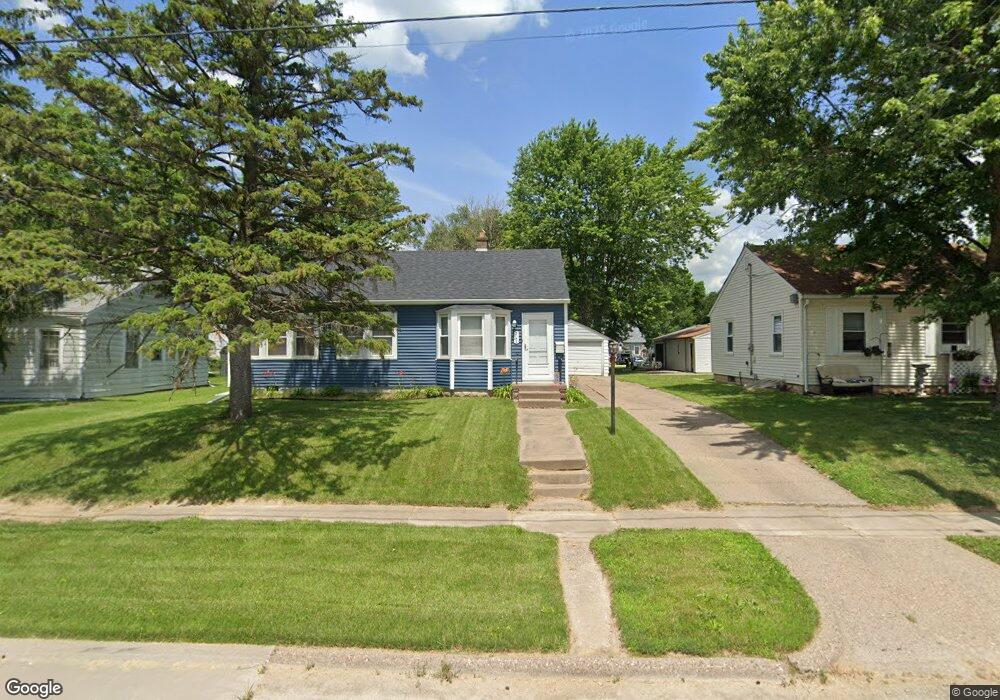
3152 Mckinley Ave Davenport, IA 52802
West End NeighborhoodEstimated Value: $110,000 - $135,000
2
Beds
1
Bath
2,170
Sq Ft
$56/Sq Ft
Est. Value
About This Home
This home is located at 3152 Mckinley Ave, Davenport, IA 52802 and is currently estimated at $122,103, approximately $56 per square foot. 3152 Mckinley Ave is a home located in Scott County with nearby schools including Walnut Hill Elementary School, South Christian Elementary School, and Caverna Middle School.
Ownership History
Date
Name
Owned For
Owner Type
Purchase Details
Closed on
Feb 21, 2007
Sold by
Federal National Mortgage Association
Bought by
Witters Erik S
Current Estimated Value
Home Financials for this Owner
Home Financials are based on the most recent Mortgage that was taken out on this home.
Original Mortgage
$59,500
Outstanding Balance
$35,875
Interest Rate
6.28%
Mortgage Type
New Conventional
Estimated Equity
$86,228
Purchase Details
Closed on
Dec 20, 2006
Sold by
Agnew Wilfred J
Bought by
Washington Mutual Bank
Create a Home Valuation Report for This Property
The Home Valuation Report is an in-depth analysis detailing your home's value as well as a comparison with similar homes in the area
Home Values in the Area
Average Home Value in this Area
Purchase History
| Date | Buyer | Sale Price | Title Company |
|---|---|---|---|
| Witters Erik S | -- | None Available | |
| Washington Mutual Bank | $52,797 | None Available |
Source: Public Records
Mortgage History
| Date | Status | Borrower | Loan Amount |
|---|---|---|---|
| Open | Witters Erik S | $59,500 |
Source: Public Records
Tax History Compared to Growth
Tax History
| Year | Tax Paid | Tax Assessment Tax Assessment Total Assessment is a certain percentage of the fair market value that is determined by local assessors to be the total taxable value of land and additions on the property. | Land | Improvement |
|---|---|---|---|---|
| 2025 | $1,548 | $120,400 | $24,710 | $95,690 |
| 2024 | $1,506 | $96,820 | $24,710 | $72,110 |
| 2023 | $1,780 | $96,820 | $24,710 | $72,110 |
| 2022 | $1,758 | $92,190 | $20,080 | $72,110 |
| 2021 | $1,758 | $90,860 | $20,080 | $70,780 |
| 2020 | $1,983 | $88,890 | $20,080 | $68,810 |
| 2019 | $2,020 | $82,340 | $20,080 | $62,260 |
| 2018 | $934 | $82,340 | $20,080 | $62,260 |
| 2017 | $440 | $79,060 | $20,080 | $58,980 |
| 2016 | $1,766 | $79,060 | $0 | $0 |
| 2015 | $1,540 | $84,280 | $0 | $0 |
| 2014 | $1,678 | $85,530 | $0 | $0 |
| 2013 | $1,672 | $0 | $0 | $0 |
| 2012 | -- | $78,300 | $21,490 | $56,810 |
Source: Public Records
Map
Nearby Homes
- 3154 Diehn Ave
- 520 S Clark St
- 815 S Dittmer St
- 3011 Telegraph Rd
- 2707 Jackson Ave
- 2736 Rockingham Rd
- 2614 Mckinley Ave
- 1109 S Michigan Ave
- 2537 Boies Ave
- 3207 Homestead Ave
- 125 S Birchwood Ave
- 2502 Rockingham Rd
- 3228 Sunnyside Ave
- 3412 Michigan
- 124 N Elmwood Ave
- 223 S Lincoln Ave
- 131 S Lincoln Ave
- 2312 W 1st St
- 2312 1/2 W 1st St
- 120 N Pine St
- 3148 Mckinley Ave
- 3160 Mckinley Ave
- 521 S Elsie Ave
- 3142 Mckinley Ave
- 517 S Elsie Ave
- 3166 Mckinley Ave
- 3138 Mckinley Ave
- 511 S Elsie Ave
- 3157 Diehn Ave
- 3145 Diehn Ave
- 603 S Elsie Ave
- 503 S Elsie Ave
- 607 S Elsie Ave
- 503 S Elsie Ave
- 3137 Diehn Ave
- 524 S Elsie Ave
- 528 S Elsie Ave
- 518 S Elsie Ave
- 534 S Elsie Ave