Estimated Value: $94,000 - $137,062
1
Bed
1
Bath
1,056
Sq Ft
$112/Sq Ft
Est. Value
About This Home
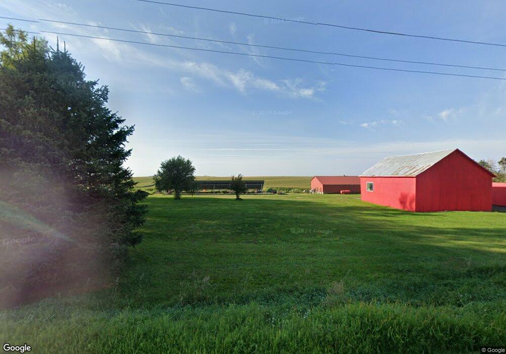
This home is located at 31533 Highway D65, Union, IA 50258 and is currently estimated at $118,687, approximately $112 per square foot. 31533 Highway D65 is a home located in Hardin County with nearby schools including BCLUW Elementary School, BCLUW Middle School, and BCLUW High School.
Create a Home Valuation Report for This Property
The Home Valuation Report is an in-depth analysis detailing your home's value as well as a comparison with similar homes in the area
Home Values in the Area
Average Home Value in this Area
Tax History Compared to Growth
Tax History
| Year | Tax Paid | Tax Assessment Tax Assessment Total Assessment is a certain percentage of the fair market value that is determined by local assessors to be the total taxable value of land and additions on the property. | Land | Improvement |
|---|---|---|---|---|
| 2025 | $666 | $81,820 | $7,310 | $74,510 |
| 2024 | $666 | $71,890 | $5,090 | $66,800 |
| 2023 | $736 | $71,690 | $5,090 | $66,600 |
| 2022 | $682 | $59,370 | $4,070 | $55,300 |
| 2021 | $682 | $59,370 | $4,070 | $55,300 |
| 2020 | $494 | $42,410 | $3,930 | $38,480 |
| 2019 | $496 | $42,410 | $0 | $0 |
| 2018 | $496 | $45,090 | $0 | $0 |
| 2017 | $544 | $46,310 | $0 | $0 |
| 2016 | $524 | $46,310 | $0 | $0 |
| 2015 | $586 | $51,140 | $0 | $0 |
| 2014 | $176 | $14,700 | $0 | $0 |
Source: Public Records
Map
Nearby Homes
- 707 Commercial St
- 1002 Main St
- 205 Perry St
- 28543 Uu Ave
- 28444 County Highway S62
- 28444 County Highway S62
- 32031 Y Ave
- 305 Apple St
- 115 Walnut St
- 1267 113th St
- 27697 270th St
- 00 County Highway D56 Hwy
- 01 County Highway D65 Hwy
- 01 County Highway D65
- 0 County Highway D56 Unit NOC6331410
- 1260 Marble Rd
- 1967 140th St
- 1358 140th St
- 0 148th St
- 1813 Jenny Ln