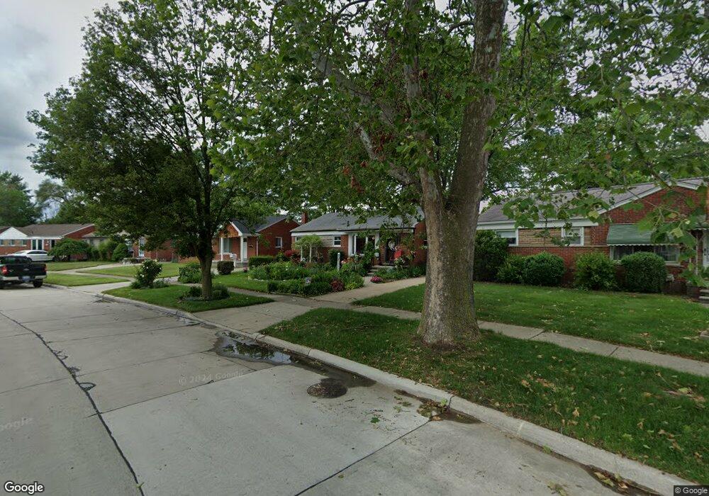
31550 Mackenzie Dr Westland, MI 48185
Estimated Value: $219,776 - $277,000
--
Bed
1
Bath
1,026
Sq Ft
$246/Sq Ft
Est. Value
About This Home
This home is located at 31550 Mackenzie Dr, Westland, MI 48185 and is currently estimated at $251,944, approximately $245 per square foot. 31550 Mackenzie Dr is a home located in Wayne County with nearby schools including Hayes Elementary School, Emerson Middle School, and Cooper Upper Elementary School.
Ownership History
Date
Name
Owned For
Owner Type
Purchase Details
Closed on
Oct 2, 2017
Sold by
Smith Nancy T and Smith Thomas
Bought by
Smith Thomas
Current Estimated Value
Home Financials for this Owner
Home Financials are based on the most recent Mortgage that was taken out on this home.
Original Mortgage
$93,000
Interest Rate
3.83%
Mortgage Type
New Conventional
Purchase Details
Closed on
Jun 24, 2015
Sold by
Hart Janette A
Bought by
Hart Tracy and Hart Janette Ann
Create a Home Valuation Report for This Property
The Home Valuation Report is an in-depth analysis detailing your home's value as well as a comparison with similar homes in the area
Home Values in the Area
Average Home Value in this Area
Purchase History
| Date | Buyer | Sale Price | Title Company |
|---|---|---|---|
| Smith Thomas | -- | None Available | |
| Hart Tracy | -- | None Available |
Source: Public Records
Mortgage History
| Date | Status | Borrower | Loan Amount |
|---|---|---|---|
| Closed | Smith Thomas | $93,000 |
Source: Public Records
Tax History Compared to Growth
Tax History
| Year | Tax Paid | Tax Assessment Tax Assessment Total Assessment is a certain percentage of the fair market value that is determined by local assessors to be the total taxable value of land and additions on the property. | Land | Improvement |
|---|---|---|---|---|
| 2025 | $2,124 | $112,900 | $0 | $0 |
| 2024 | $2,124 | $105,500 | $0 | $0 |
| 2023 | $2,028 | $95,600 | $0 | $0 |
| 2022 | $2,368 | $82,600 | $0 | $0 |
| 2021 | $2,310 | $78,900 | $0 | $0 |
| 2020 | $2,284 | $74,400 | $0 | $0 |
| 2019 | $2,174 | $72,200 | $0 | $0 |
| 2018 | $6,556 | $60,900 | $0 | $0 |
| 2017 | $795 | $56,600 | $0 | $0 |
| 2016 | $2,085 | $57,000 | $0 | $0 |
| 2015 | $4,167 | $53,400 | $0 | $0 |
| 2013 | $4,037 | $41,190 | $0 | $0 |
| 2012 | $1,825 | $41,350 | $0 | $0 |
Source: Public Records
Map
Nearby Homes
- 31273 Mackenzie Dr
- 31244 Stephen Ave
- 8238 Terri Dr
- 8824 Nevada St
- 32047 Anita Dr
- 8878 Merriman Rd
- 8332 Berwick Dr
- 31640 Ann Arbor Trail
- 9085 Melrose St
- 8226 Huntington St Unit 24
- 8226 Huntington St Unit 25
- 32327 Washington St
- 32451 Sandra Ln
- 7814 Terri Dr
- 9212 Idaho St
- 31171 Grandon St Unit 56
- 9253 Idaho St
- 32725 Joy Rd
- 32724 Hees St
- 8346 Hillcrest Blvd
- 31560 Mackenzie Dr
- 31540 Mackenzie Dr
- 31530 Mackenzie Dr
- 31570 Mackenzie Dr
- 8681 Shari Dr
- 8675 Shari Dr
- 8660 Alper St
- 8670 Alper St
- 8650 Alper St
- 8678 Alper St
- 31520 Mackenzie Dr
- 8669 Shari Dr
- 31580 Mackenzie Dr
- 8640 Alper St
- 8659 Shari Dr
- 31539 Mackenzie Dr
- 31563 Mackenzie Dr
- 8630 Alper St
- 31590 Mackenzie Dr
- 31577 Mackenzie Dr