3156 Brookside Dr Unit 61 Furlong, PA 18925
Estimated Value: $561,205 - $607,000
3
Beds
3
Baths
1,980
Sq Ft
$299/Sq Ft
Est. Value
About This Home
This home is located at 3156 Brookside Dr Unit 61, Furlong, PA 18925 and is currently estimated at $592,051, approximately $299 per square foot. 3156 Brookside Dr Unit 61 is a home located in Bucks County with nearby schools including Bridge Valley Elementary School, Lenape Middle School, and Central Bucks High School-West.
Ownership History
Date
Name
Owned For
Owner Type
Purchase Details
Closed on
Mar 17, 2010
Sold by
Heritage Center Investors Lp
Bought by
Poli Richard A and Poli Paula A
Current Estimated Value
Home Financials for this Owner
Home Financials are based on the most recent Mortgage that was taken out on this home.
Original Mortgage
$100,000
Interest Rate
4.43%
Mortgage Type
New Conventional
Create a Home Valuation Report for This Property
The Home Valuation Report is an in-depth analysis detailing your home's value as well as a comparison with similar homes in the area
Home Values in the Area
Average Home Value in this Area
Purchase History
| Date | Buyer | Sale Price | Title Company |
|---|---|---|---|
| Poli Richard A | $434,432 | None Available |
Source: Public Records
Mortgage History
| Date | Status | Borrower | Loan Amount |
|---|---|---|---|
| Closed | Poli Richard A | $100,000 |
Source: Public Records
Tax History Compared to Growth
Tax History
| Year | Tax Paid | Tax Assessment Tax Assessment Total Assessment is a certain percentage of the fair market value that is determined by local assessors to be the total taxable value of land and additions on the property. | Land | Improvement |
|---|---|---|---|---|
| 2025 | $6,179 | $37,950 | -- | $37,950 |
| 2024 | $6,179 | $37,950 | $0 | $37,950 |
| 2023 | $5,969 | $37,950 | $0 | $37,950 |
| 2022 | $5,898 | $37,950 | $0 | $37,950 |
| 2021 | $5,827 | $37,950 | $0 | $37,950 |
| 2020 | $5,827 | $37,950 | $0 | $37,950 |
| 2019 | $5,789 | $37,950 | $0 | $37,950 |
| 2018 | $5,789 | $37,950 | $0 | $37,950 |
| 2017 | $5,742 | $37,950 | $0 | $37,950 |
| 2016 | $5,799 | $37,950 | $0 | $37,950 |
| 2015 | -- | $37,950 | $0 | $37,950 |
| 2014 | -- | $37,950 | $0 | $37,950 |
Source: Public Records
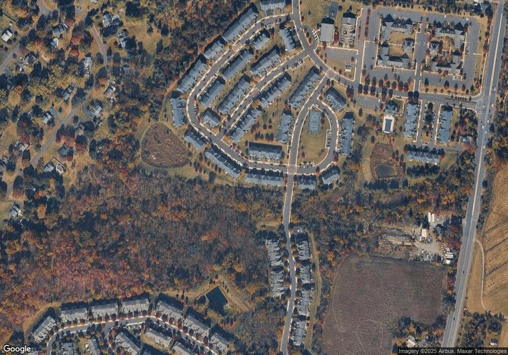
Map
Nearby Homes
- 2372 Dorchester St W Unit W
- 2443 Sugar Bottom Rd
- 3060 Cloverly Dr
- 3017 Dorchester St E Unit 125
- 547 Mccarty Dr
- 106 Saddle Dr
- 2209 Swamp Rd
- 2080 Bedfordshire Rd
- 1249 Pebble Hill Rd
- 3772 Powder Horn Dr
- 3657 Powder Horn Dr
- lot #3 next to 3739 York Rd
- 0 Old York Rd Unit PABU2103356
- 21 Shady Springs Dr
- 152 Watercrest Dr
- 1948 Forest Grove Rd
- 108 Eagle Ct Unit 105
- 150 Watercrest Dr
- 223 Cherry Ln
- 000 Cherry Ln
- 3158 Brookside Dr Unit 60
- 3160 Brookside Dr Unit 59
- 3162 Brookside Dr Unit 58
- 3164 Brookside Dr Unit 57
- 3166 Brookside Dr Unit 56
- 3168 Brookside Dr Unit 55
- 3170 Brookside Dr Unit 54
- 3193 Meadow View Cir Unit 175
- 3193 Meadowview Cir Unit 175
- 3159 Brookside Dr Unit 136
- 3161 Brookside Dr Unit 135
- 3163 Brookside Dr
- 3172 Brookside Dr Unit 5361
- 3165 Brookside Dr Unit 133
- 3195 Meadow View Cir Unit 174
- 3195 Meadowview Cir Unit 174
- 3167 Brookside Dr Unit 132
- 3169 Brookside Dr Unit 131
- 3197 Meadow View Cir
- 3197 Meadowview Cir Unit 173